Browse / Brazil / São Paulo / Sorocaba
Sorocaba
São Paulocity

Sorocaba
Total population
723,682
Founded
1654
Demographic figures from IBGE. Overview below cites Wikipedia and may reference a different year.
City facts
Facts from Wikidata (CC0).
Overview
Sorocaba is a municipality in the interior of the state of São Paulo, Brazil. With over 723,000 inhabitants, it is the seventh-largest city in the state and the second-largest outside the Greater São Paulo region, ranking behind only Campinas. It forms its own Metropolitan Region of Sorocaba, comprising 27 municipalities with a total population of 2 million inhabitants, the 15th most populous in Brazil.
Read more on WikipediaHistory & geography
History
Dom Francisco de Sousa, general governor of Brazil (1591 to 1602), believing in the existence of gold in the region, settled the Pelourinho —a Portuguese translation of the English "pillory", symbol of the Royal power, as the village Nova Vila de Nossa Senhora da Ponte de Mont Serrat. When gold wasn't found there, the governor returned to the Royal Court. Twelve years later, Dom Francisco de Sousa changed the name of the village to Itavuvu. Baltasar Fernandes, a member of an expeditionary group called Bandeirantes, laid the foundation of Sorocaba in the 1654. The chapel of Nossa Senhora da Ponte (which is now the Cathedral located in Fernando Prestes square, downtown) was built by him, along with the São Bento de Parnaíba monastery (now São Bento monastery) years later. It was also Fernandes who brought the first Benedictine monks to teach, assist the poor and the ill, and convert the Native Americans of the region. The monastery was donated to the Benedictines in the year 1660, after which Friar Anselmo da Anunciação and Friar Mauro were chosen to take office. The first streets and houses started to spread around the neighborhood. In the year of 1661, Baltasar Fernandes went to São Paulo to request that Sorocaba be named a village from the governor, Correia de Sá e Benevides. Thus, on March 3, 1661, Sorocaba became known as Vila de Nossa Senhora da Ponte de Sorocaba. The organization of the Municipal Council followed shortly, with the main nominees being: Baltasar Fernandes and André de Zunega (judges), Cláudio Furquim and Pascoal Leite Pais (city councillors), Domingos Garcia (procurator) and Francisco Sanches (clerk). With the arrival of colonel Cristóvão Pereira de Abreu and his troops in 1773, begins the main chapter of the history of Sorocaba: the Tropeirismo.…
Geography
The city is located in the southeastern region of the state of São Paulo, 92 km away from the state capital. The main highways are Castelo Branco (SP-280) and Raposo Tavares (SP-270). It straddles the Sorocaba River, a tributary of the left bank of the Tiete river. The municipality of Sorocaba is located on the Tropic of Capricorn, at latitude 23° 26 '16 " for the season of 2011, passes along the neighborhoods of Aparecidinha and Parque São Bento districts. At the junction of Highway José Ermírio José de Morais (SP-75) with the connection to the Raposo Tavares highway is a milestone signaling the Tropic. Among Brazil's largest cities (by population), Sorocaba is in 30th place. Sorocaba is among the major cities in São Paulo (population), is ranked ninth. Sorocaba climate is subtropical, with the coldest month being July and warmest in January and February. Precipitation is around . According to Köppen, Sorocaba can be classified as a Cwa climate, featuring a warm climate with summer rainfall and temperature in the warmest month ≥ . The climate table below shows the monthly mean temperatures, maximum and minimum recorded, rainfall and rainy days with monthly and annual averages for the period from 1 January 1995 to January 1, 2011 for the city of Sorocaba. The terrain is classified as a wavy strands and characterized by local ridges, with an average altitude of 632 meters above the sea level. The highest altitude is 1028 meters, in the Serra de Sao Francisco. The lower altitude is 539 meters, in the valley of the Sorocaba River. Sorocaba is located on the edge of the Peripheral Depression of São Paulo state, in the Appalachian Fall Line, as defined by Professor Aziz Ab'Saber. This configuration is due to the fact Sorocaba lies at the boundary between the…
Excerpted from the corresponding Wikipedia article (CC BY-SA).
Geography
Coordinates & boundaries from the US Census TIGER/Line shapefiles.
Climate
Air quality
Walkability
Amenities nearby
Wildlife & biodiversity
Most-observed species
- Great KiskadeePitangus sulphuratus (Linnaeus, 1766) · Aves1,030
- Sayaca TanagerThraupis sayaca (Linnaeus, 1766) · Aves951
- white-eyed conureAratinga leucophthalma (Statius Muller, 1776) · Aves912
- Pale-breasted ThrushTurdus leucomelas Vieillot, 1818 · Aves849
- Picazuro PigeonPatagioenas picazuro (Temminck, 1813) · Aves848
- Eared DoveZenaida auriculata (Des Murs, 1847) · Aves729
- Southern House WrenTroglodytes musculus J.F.Naumann, 1823 · Aves718
- Black VultureCoragyps atratus (Bechstein, 1793) · Aves654
Citizen-science & research observations from the Global Biodiversity Information Facility (GBIF).
Earthquake history
Events from the USGS Earthquake Catalog (global) (FDSN Event Web Service).
Photos
Sights & places nearby
Notable people from here
Nearby places in São Paulo
Geography & sun
Elevation, sunrise/sunset and daylight from Open-Meteo. Solar climatology from NASA POWER.
Nearby airports
Public attention
Pageview totals from the Wikimedia Pageviews API.
Books about Sorocaba
Search results from Open Library.
Recent natural events nearby
Ground air-quality sensors
Recently spotted species
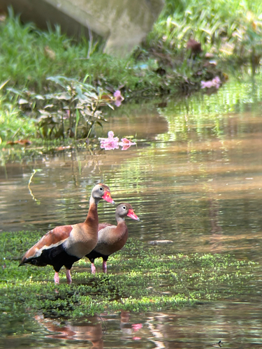
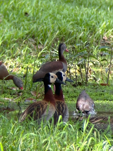
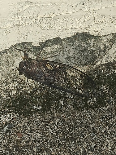
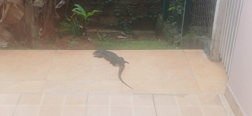
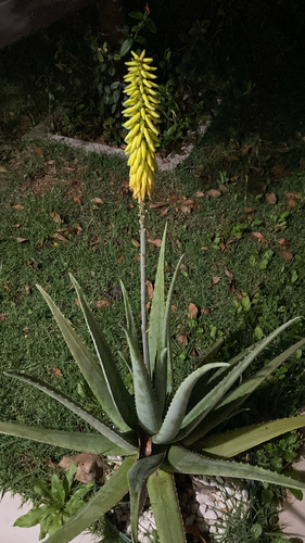
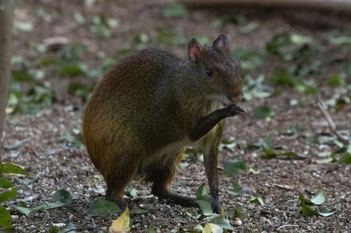
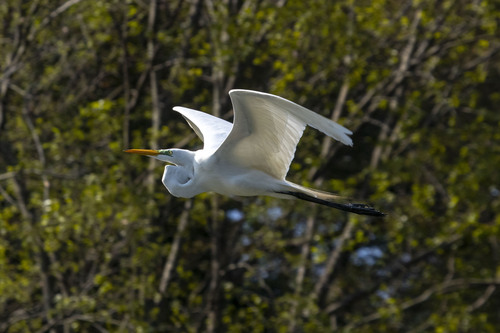
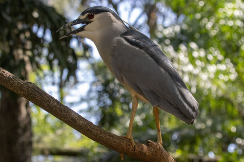
Research-grade observations from iNaturalist (within ~15 mi).
Events
Gallery
Official Identifiers
IBGE — Brazilian Institute of Geography and Statistics
- IBGE code
- 3552205
- UF
- SP
- Mesorregião
- Macro Metropolitana Paulista
- Microrregião
- Sorocaba
servicodados.ibge.gov.br
Sources
- • Wikipedia
- • Wikidata
- • USGS Earthquake Catalog (global feed)
- • GBIF (Global Biodiversity Information Facility)
- • iNaturalist
- • Open-Meteo / sunrise-sunset.org
- • Wikipedia Pageviews API
- • Open Library
- • Wikidata SPARQL (CC0) — population, area, elevation, inception, head of government, Commons image
- • IBGE — Brazilian national statistics, via servicodados.ibge.gov.br (official municipal code, UF, mesorregião, microrregião, region)
- • IBGE — Brazilian Institute of Geography and Statistics — servicodados.ibge.gov.br