Browse / Brazil / São Paulo / Suzanápolis
Suzanápolis
São Paulovillage

Suzanápolis
Total population
3,408
Demographic figures from IBGE. Overview below cites Wikipedia and may reference a different year.
City facts
Overview
Suzanápolis is a municipality in the state of São Paulo in Brazil. The population is 4,014 in an area of 331 km2. The elevation is 350 m.
Read more on WikipediaHistory & geography
Geography
Coordinates & boundaries from the US Census TIGER/Line shapefiles.
Climate
Air quality
Walkability
Amenities nearby
Wildlife & biodiversity
Most-observed species
- Toco ToucanRamphastos toco P.L.S.Müller, 1776 · Aves6
- Picazuro PigeonPatagioenas picazuro (Temminck, 1813) · Aves6
- Ruddy Ground-DoveColumbina talpacoti (Temminck, 1810) · Aves6
- Smooth-billed AniCrotophaga ani Linnaeus, 1758 · Aves6
- Blue-and-yellow MacawAra ararauna (Linnaeus, 1758) · Aves6
- pumaPuma concolor (Linnaeus, 1771) · Mammalia5
- Yellow-chevroned ParakeetBrotogeris chiriri (Vieillot, 1818) · Aves5
- White-rumped MonjitaXolmis velatus (Lichtenstein, 1823) · Aves5
Citizen-science & research observations from the Global Biodiversity Information Facility (GBIF).
Earthquake history
Events from the USGS Earthquake Catalog (global) (FDSN Event Web Service).
Photos
Sights & places nearby
Notable people from here
Geography & sun
Elevation, sunrise/sunset and daylight from Open-Meteo. Solar climatology from NASA POWER.
Nearby airports
Public attention
Pageview totals from the Wikimedia Pageviews API.
Books about this place
Recent natural events nearby
Ground air-quality sensors
Recently spotted species
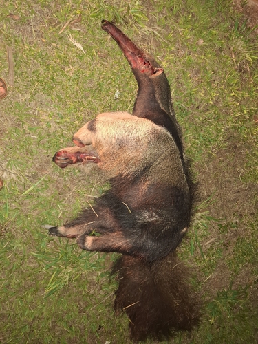
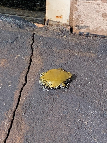
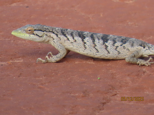
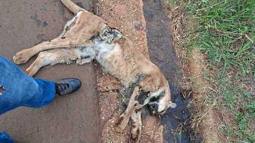
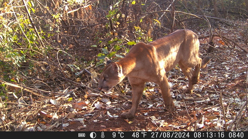
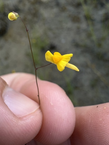
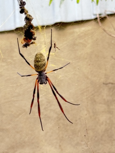
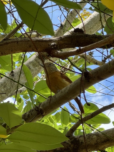

Research-grade observations from iNaturalist (within ~15 mi).
Events
Gallery
Official Identifiers
IBGE — Brazilian Institute of Geography and Statistics
- IBGE code
- 3552551
- UF
- SP
- Mesorregião
- Araçatuba
- Microrregião
- Andradina
servicodados.ibge.gov.br
Sources
- • Wikipedia
- • USGS Earthquake Catalog (global feed)
- • GBIF (Global Biodiversity Information Facility)
- • iNaturalist
- • Open-Meteo / sunrise-sunset.org
- • Wikipedia Pageviews API
- • IBGE — Brazilian national statistics, via servicodados.ibge.gov.br (official municipal code, UF, mesorregião, microrregião, region)
- • IBGE — Brazilian Institute of Geography and Statistics — servicodados.ibge.gov.br