Browse / Brazil / Alagoas / Tanquinho
Tanquinho
Alagoashamlet
Demographic figures from IBGE. Overview below cites Wikipedia and may reference a different year.
City facts
Overview
Tanquinho is a hamlet in Alagoas, Brazil. Geographically it lies in the southern hemisphere at a equatorial latitude (-9.380°, -37.711°). No reliable population estimate is published for this entry in the open data we rely on. Open solar datasets indicate about 2,116 kWh/m² of solar irradiance per year, combined with sunshine for roughly 83% of daylight hours. Climatically, locations at this latitude tend to experience hot and humid year-round with little seasonal temperature variation. Continue scrolling for population, climate, environmental and points-of-interest data drawn from public sources.
Summary composed automatically from structured open data on this page. See our Terms for details.
History & geography
Geography
Coordinates & boundaries from the US Census TIGER/Line shapefiles.
Climate
Air quality
Walkability
Amenities nearby
Wildlife & biodiversity
Most-observed species
- White-winged SwallowTachycineta albiventer (Boddaert, 1783) · Aves7
- Turkey VultureCathartes aura (Linnaeus, 1758) · Aves6
- Cliff FlycatcherHirundinea ferruginea (Gmelin, 1788) · Aves5
- Sayaca TanagerThraupis sayaca (Linnaeus, 1766) · Aves5
- Red-cowled CardinalParoaria dominicana (Linnaeus, 1758) · Aves5
- Roadside HawkRupornis magnirostris (Gmelin, 1788) · Aves5
- cactus conureAratinga cactorum (Kuhl, 1820) · Aves4
- Black-chested Buzzard-EagleGeranoaetus melanoleucus (Vieillot, 1819) · Aves4
Citizen-science & research observations from the Global Biodiversity Information Facility (GBIF).
Earthquake history
Events from the USGS Earthquake Catalog (global) (FDSN Event Web Service).
Photos
Sights & places nearby
Notable people from here
Geography & sun
Elevation, sunrise/sunset and daylight from Open-Meteo. Solar climatology from NASA POWER.
Nearby airports
Public attention
Books about this place
Recent natural events nearby
Ground air-quality sensors
Recently spotted species
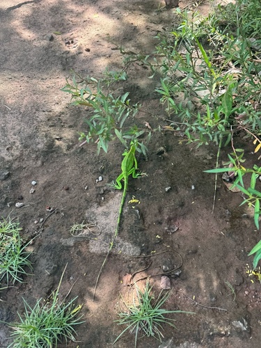
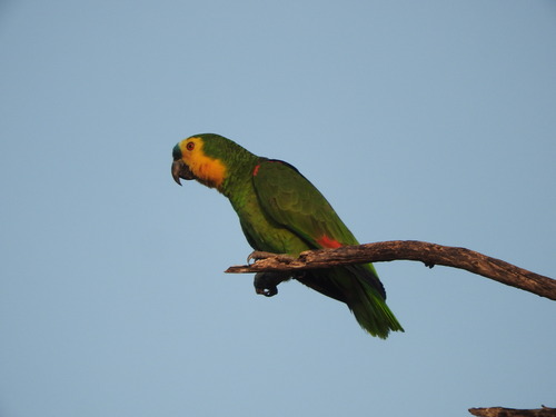
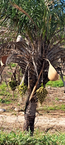
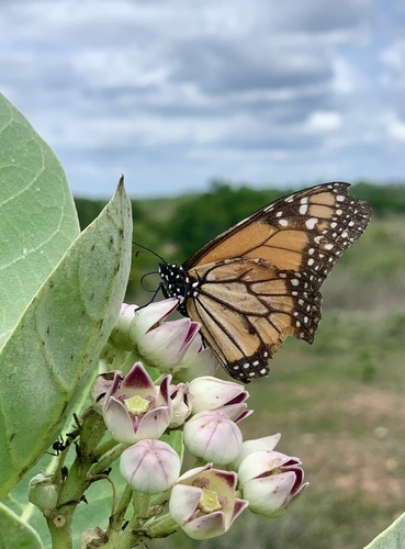
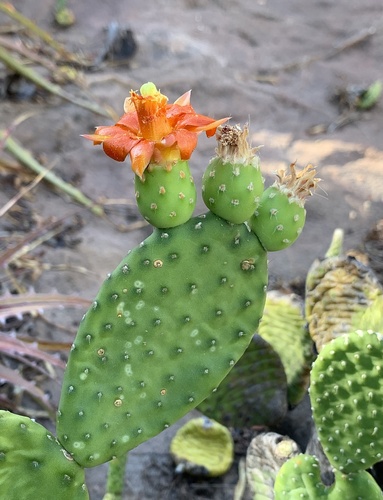
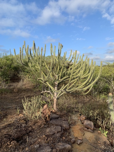
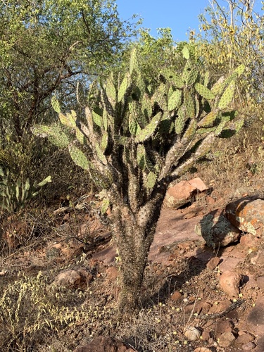
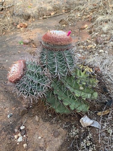
Research-grade observations from iNaturalist (within ~15 mi).
Events
Gallery
Official Identifiers
IBGE — Brazilian Institute of Geography and Statistics
- IBGE code
- 2931103
- Population (Wikidata)
- 7,717
- Wikidata
- Q1793683
servicodados.ibge.gov.br
Sources
- • Wikidata
- • USGS Earthquake Catalog (global feed)
- • GBIF (Global Biodiversity Information Facility)
- • iNaturalist
- • Open-Meteo / sunrise-sunset.org
- • IBGE — Brazilian national statistics, via servicodados.ibge.gov.br (official municipal code, UF, mesorregião, microrregião, region)
- • IBGE — Brazilian Institute of Geography and Statistics — servicodados.ibge.gov.br