Browse / Brazil / Piauí / Teresina
Teresina
Piauícity

Teresina
Total population
866,300
Founded
1852
Demographic figures from IBGE. Overview below cites Wikipedia and may reference a different year.
City facts
Sister cities
Facts from Wikidata (CC0).
Overview
Teresina is the capital and most populous municipality in the Brazilian state of Piauí. Being located in north-central Piauí 366 km from the coast, it is the only capital in the Brazilian Northeast that is not located on the shores of the Atlantic Ocean. With 902,644 inhabitants, Teresina is the 19th largest city in Brazil, and the 16th largest state capital in the country. Together with Timon in the neighbouring state of Maranhão, it forms a conurbation with a population of about 2,729,527 inhabitants; the entire metropolitan region of Teresina has over 2,893,729 inhabitants. The only natural barrier that separates Teresina from Timon is the Parnaíba River, one of the largest in the Northeast.
Read more on WikipediaHistory & geography
Geography
Teresina is located on the east side of the Parnaíba River at the border with Maranhão state, at an altitude of about 72 meters. The city faces the city of Timon across the river and is situated between the Parnaíba River and its tributary the Poti River. The two rivers join at the city's northern end, where there is an environmental park with gazebos. Teresina is the largest capital in the northeastern territorial extension, at 1,756 km2. Located in a transition zone between the northeast and the Amazon (Mid-North), Teresina is surrounded by mata dos cocais, savannas and cerradões where many carnaúba, babaçu, buriti palms, jatobás, ipês, and many other medium-sized trees can be seen. In the region there are also remnants of Teresina Atlantic Forest, which makes the landscape shrub coverage very rich and dense. Teresina has a tropical wet and dry climate (Köppen climate classification: Aw) with semi-humid characteristics and two seasons: the rainy season (which occurs in summer and autumn of the Southern Hemisphere) and the dry season (which occurs in winter and spring). From January to May, due to the rains, the weather is hot and wet (likely to occur when there is fog in the morning), while from June to August the climate gets dry with relatively milder nights; in September to December the weather becomes hotter and humid decreases, with the gradual return of rainy conditions from October. This period is referred to as "Bro" by locals as the hottest months end with -bro in Portuguese: ', ', ', and '. A peculiar feature of the rains in the city are their speed and intensity, with strong winds, large force of water and very common lightning. The annual rainfall stands at around . The highest recorded daily precipitation was . | source 2 = Brazilian National…
Excerpted from the corresponding Wikipedia article (CC BY-SA).
Geography
Coordinates & boundaries from the US Census TIGER/Line shapefiles.
Climate
Air quality
Walkability
Amenities nearby
Wildlife & biodiversity
Earthquake history
Photos
Sights & places nearby
Notable people from here


People born within ~10 km, from Wikidata (CC0). Click any name for their Wikipedia article.
Nearby places in Piauí
- Res. Francisca Trindade6.7 mi away
- Zé de Holanda7.2 mi away
- El Shaday7.8 mi away
- Lot. Canaa I8.3 mi away
- Ave Verde8.8 mi away
- Loteamento Canaã II8.8 mi away
- Estaca Zero8.9 mi away
- Baixão do Carlos9.2 mi away
- Salobro9.8 mi away · pop. 440
- Árvores Verdes9.9 mi away
- Cantinho do Sul10.3 mi away
- Angolar10.6 mi away
Geography & sun
Elevation, sunrise/sunset and daylight from Open-Meteo. Solar climatology from NASA POWER.
Nearby airports
Public attention
Pageview totals from the Wikimedia Pageviews API.
Books about Teresina

Search results from Open Library.
Recent natural events nearby
Ground air-quality sensors
Recently spotted species
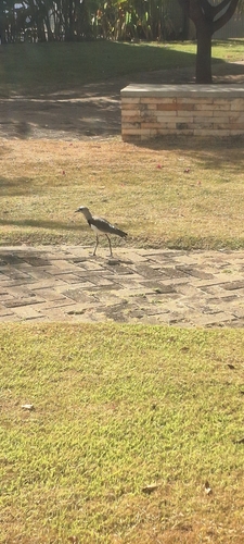
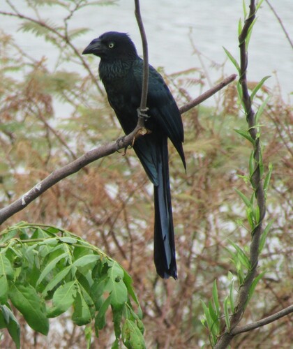
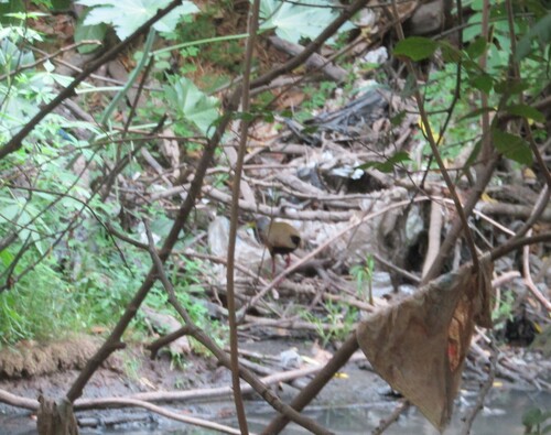
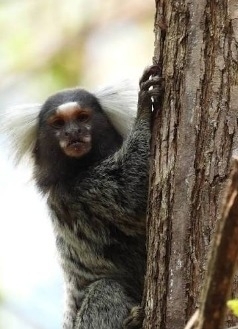
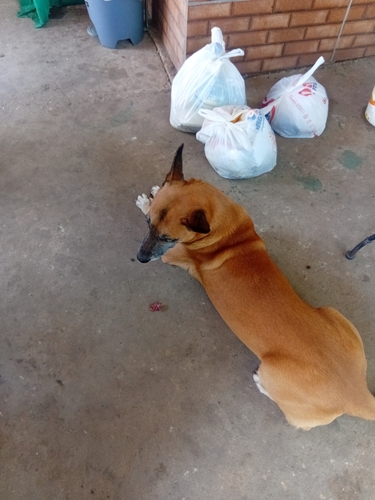
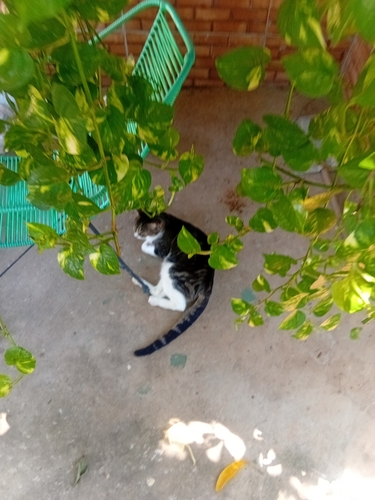
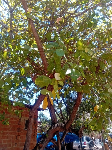
Research-grade observations from iNaturalist (within ~15 mi).
Events
Gallery
Official Identifiers
IBGE — Brazilian Institute of Geography and Statistics
- IBGE code
- 2211001
- UF
- PI
- Mesorregião
- Centro-Norte Piauiense
- Microrregião
- Teresina
servicodados.ibge.gov.br
Sources
- • Wikipedia
- • Wikidata
- • iNaturalist
- • Open-Meteo / sunrise-sunset.org
- • Wikipedia Pageviews API
- • Open Library
- • Wikidata SPARQL (CC0) — population, area, elevation, inception, head of government, Commons image
- • IBGE — Brazilian national statistics, via servicodados.ibge.gov.br (official municipal code, UF, mesorregião, microrregião, region)
- • IBGE — Brazilian Institute of Geography and Statistics — servicodados.ibge.gov.br