Browse / Brazil / Minas Gerais / Tobati
Tobati
Minas Geraisvillage
Air quality index
Demographic figures from IBGE. Overview below cites Wikipedia and may reference a different year.
City facts
Overview
Within Minas Gerais, Brazil, Tobati stands as a village. Tobati maps to -19.599°, -46.390° — squarely within the tropical belt. Detailed population figures are not currently catalogued in the open data sources we track. Solar-resource estimates put the area at about 1,899 kWh/m² of solar irradiance per year with sunshine for roughly 74% of daylight hours. Its latitude implies a climate characterised by warm temperatures throughout the year with pronounced wet and dry seasons. Read on for charts and tables covering demographics, climate, hazards, schools, wildlife and other open-data indicators for Tobati.
Summary composed automatically from structured open data on this page. See our Terms for details.
History & geography
Geography
Coordinates & boundaries from the US Census TIGER/Line shapefiles.
Climate
Air quality
Current readings from Open-Meteo Air Quality API (Copernicus CAMS European reanalysis).
Walkability
Amenities nearby
Wildlife & biodiversity
Most-observed species
- Bellyache bush, Black physicnut, Cotton-leaf physicnut, American purging nut, Cotton-leaf jatropha, Purging nut, Red fig-nut flower, Wild cassavaJatropha gossypiifolia L. · Magnoliopsida3
- Hologymnetis undulata (Vigors, 1825)Hologymnetis undulata (Vigors, 1825) · Insecta1
- crab eating foxCerdocyon thous (Linnaeus, 1766) · Mammalia1
- Toco ToucanRamphastos toco P.L.S.Müller, 1776 · Aves1
- yellow-faced amazonAmazona xanthops (Spix, 1824) · Aves1
- Bushy LippiaLippia alba (Mill.) N.E.Br. ex Britton & P.Wilson · Magnoliopsida1
- Santa-Maria, Santa Maria feverfew, Whitetop weed, Famine weed, Carrot grass, Congress grass, Wild Carrot Weed, Parthenium weed, Ragweed parthenium, Bitter-broom, Bitterweed, False camomile, False ragweed, Ragweed, Barley flower, Bastard feverfew, Broomweed, Mugwort, Whiteheads, WormwoodParthenium hysterophorus L. · Magnoliopsida1
- Rufous ToadRhinella rubescens (Lutz, 1925) · Amphibia1
Citizen-science & research observations from the Global Biodiversity Information Facility (GBIF).
Earthquake history
Events from the USGS Earthquake Catalog (global) (FDSN Event Web Service).
Photos
Sights & places nearby
Notable people from here
Nearby places in Minas Gerais
- São Jerônimo dos Poções12.3 mi away
- Argenita19.6 mi away
- Guarda dos Ferreiros23.6 mi away
- Altolândia25.1 mi away
- Medeiros29.5 mi away · pop. 3,900
- Catiara35.1 mi away
- Abaeté dos Mendes35.6 mi away
- Funchal38.1 mi away
- Serra do Salitre38.7 mi away · pop. 11,801
- Salitre de Minas45.1 mi away
- Quartel de São João46.7 mi away
- Tiros49.6 mi away · pop. 7,883
Geography & sun
Elevation, sunrise/sunset and daylight from Open-Meteo. Solar climatology from NASA POWER.
Nearby airports
Public attention
Pageview totals from the Wikimedia Pageviews API.
Books about this place
Recent natural events nearby
Ground air-quality sensors
Recently spotted species
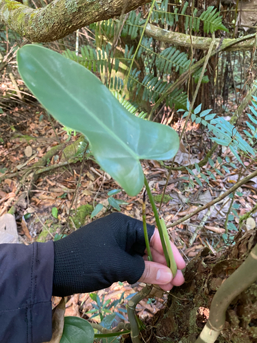
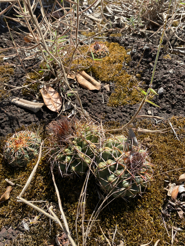
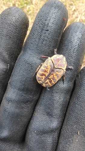
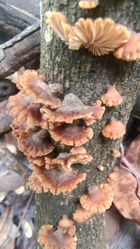
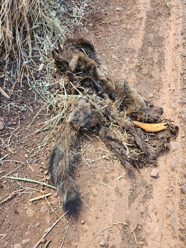
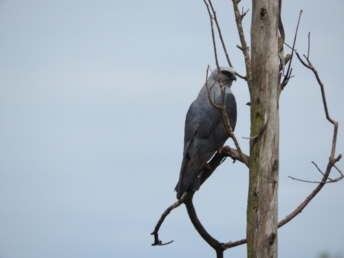
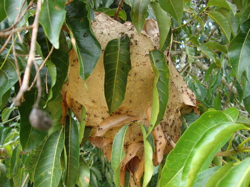
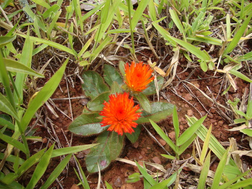
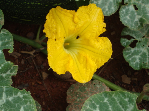
Research-grade observations from iNaturalist (within ~15 mi).
Events
Gallery
Sources
- • Wikidata
- • Open-Meteo Air Quality (CAMS)
- • USGS Earthquake Catalog (global feed)
- • GBIF (Global Biodiversity Information Facility)
- • iNaturalist
- • Open-Meteo / sunrise-sunset.org
- • Wikipedia Pageviews API