Browse / Brazil / Minas Gerais / Três Corações
Três Corações
Minas Geraistown

Três Corações
Total population
75,485
Demographic figures from IBGE. Overview below cites Wikipedia and may reference a different year.
City facts
Overview
Três Corações is a municipality in the south of Minas Gerais state in Brazil. As of 2020, the city population was estimated at 80,032, making it one of the largest cities in the south of Minas Gerais. The city is geographically located close to the circumcenter of the three largest metropolitan areas in Brazil, thus making it a strategic hub for commerce. Três Corações is internationally famous for being the birthplace of football legend Pelé.
Read more on WikipediaHistory & geography
History
By the year 1760, the Portuguese Tomé Martins da Costa had settled on the banks of the Verde River to explore gold. After some years he built a big farm and started the construction of the "Santíssimos Corações de Jesus, Maria e José" (Most Holy Hearts of Jesus, Mary and Joseph) chapel. In 1764 the Minas Gerais governor, D. Luiz Lobo Diogo Silva, visited Tomé M. Costa and noticed some small houses nearby. In 1790, Captain Domingos Dias de Barros, Tomé's son in law, built a bigger chapel on the site where the old one stood. It was opened to the public of Três Corações do Rio Verde and the Três Sacratíssimos Corações parish in 1832. Três Corações do Rio Verde became part of the Minas Gerais Province in 1873, after the President of the province sanctioned laws establishing that the territory was part of its civil parish. The town continued to develop civically after Emperor Pedro II and the imperial family visited it in 1884, for the inaugural of the Minas & Rio railroad. The railroad connected the town to Cruzeiro, a town in São Paulo Province. Three months following the emperor's visit, the town was emancipated and became categorized as a city. Though formally known as Três Corações do Rio Verde, on September 7, 1923, the city became known as Três Corações. The village has been known as Três Corações ("Three Hearts" in Portuguese) because of the name of the chapel (hearts of Jesus, Mary and Joseph). That is the political and official history. There are two other versions as to the origin of the city's name. One is that the path through which the river flows around the city forms the shape of three hearts. The other, more poetic version, tells the story of three cowboys, who while passing through the town from Goias, came upon three women, Jacyra, Jussara, and…
Geography
*North - Varginha and Carmo da Cachoeira *South - Conceição do Rio Verde and Cambuquira *East - São Bento Abade and São Tomé das Letras *West - Campanha and Monsenhor Paulo. *Varginha: 30 km *São Lourenço: 93 km *Pouso Alegre: 112 km *Juiz de Fora: 272 km *Belo Horizonte: 287 km *São Paulo: 295 km *Rio de Janeiro: 360 km Três Corações has a humid subtropical climate (Köppen Cwa) characterized by wet, warm summers and dry, cool winters. The average monthly precipitation is 120.97 mm (4.76 in). The wettest month is December (with an average rainfall of 272.2 mm or 10.72 in) and the driest month is July (with an average rainfall of 13.1 mm or 0.52 in). The average monthly temperature is 19.2 °C (66.6 °F). The hottest month is February (with a daily mean of 22.3 °C or 72.1 °F) and the coldest month is June (with a daily mean of 14.9 °C or 58.8 °F).
Excerpted from the corresponding Wikipedia article (CC BY-SA).
Geography
Coordinates & boundaries from the US Census TIGER/Line shapefiles.
Climate
Air quality
Walkability
Amenities nearby
Wildlife & biodiversity
Earthquake history
Photos
Sights & places nearby
Notable people from here


People born within ~10 km, from Wikidata (CC0). Click any name for their Wikipedia article.
Nearby places in Minas Gerais
- Campanha13.6 mi away · pop. 15,935
- São Tomé das Letras17.4 mi away · pop. 6,904
- Elói Mendes20.9 mi away · pop. 26,336
- Cruzília30.3 mi away · pop. 15,362
- Paraguaçu32.7 mi away · pop. 21,723
- Cristina35.7 mi away · pop. 10,374
- Carvalhópolis38.1 mi away · pop. 3,341
- Pouso Alto38.9 mi away · pop. 6,566
- Minduri41.8 mi away · pop. 3,741
- Fama42.1 mi away · pop. 2,578
- Maria da Fé43 mi away · pop. 14,247
- Campos Gerais45.5 mi away · pop. 26,105
Geography & sun
Elevation, sunrise/sunset and daylight from Open-Meteo. Solar climatology from NASA POWER.
Nearby airports
Public attention
Pageview totals from the Wikimedia Pageviews API.
Books about Três Corações



Search results from Open Library.
Recent natural events nearby
Ground air-quality sensors
Recently spotted species
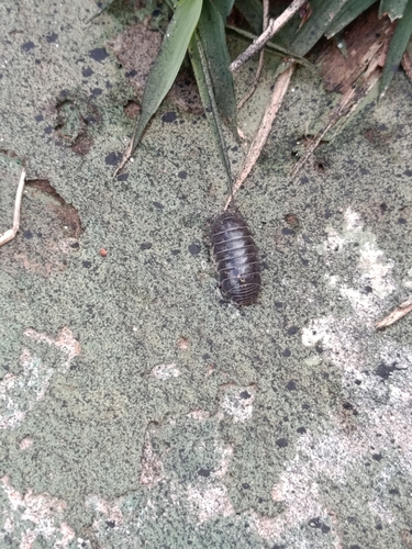
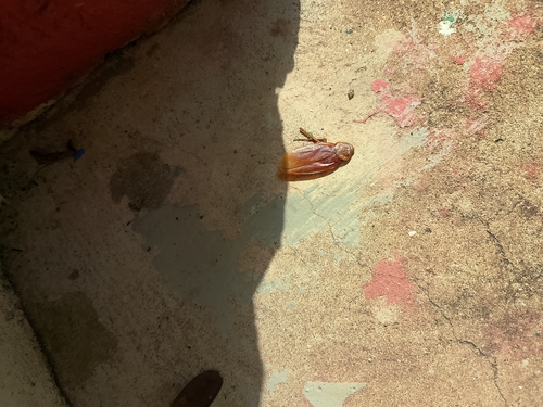
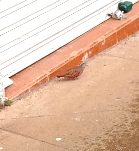
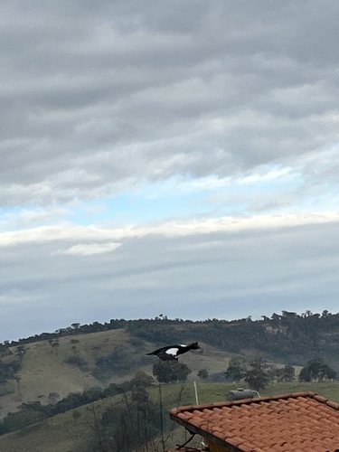
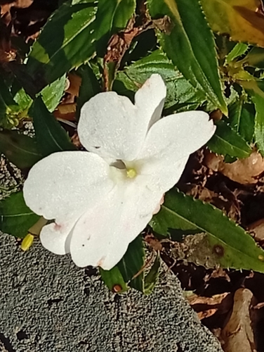
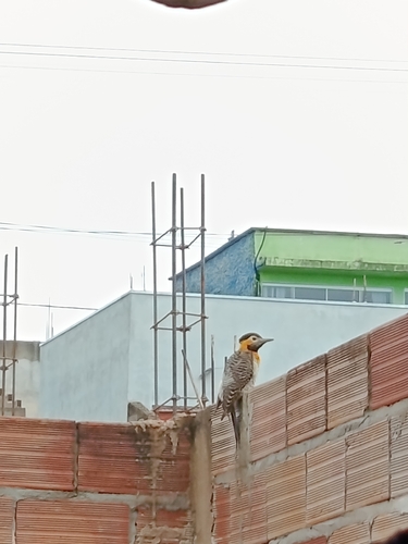
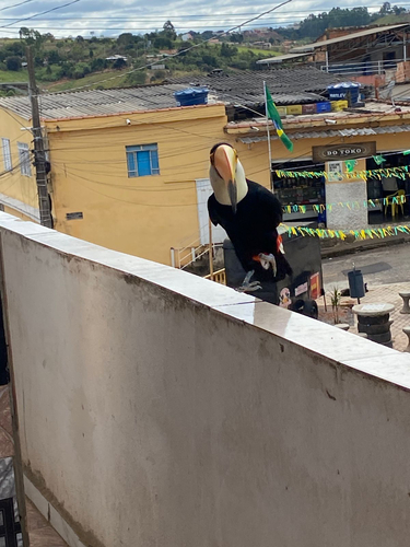
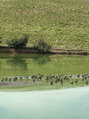
Research-grade observations from iNaturalist (within ~15 mi).
Events
Gallery
Official Identifiers
IBGE — Brazilian Institute of Geography and Statistics
- IBGE code
- 3169307
- UF
- MG
- Mesorregião
- Sul/Sudoeste de Minas
- Microrregião
- Varginha
servicodados.ibge.gov.br
Sources
- • Wikipedia
- • Wikidata
- • iNaturalist
- • Open-Meteo / sunrise-sunset.org
- • Wikipedia Pageviews API
- • Open Library
- • Wikidata SPARQL (CC0) — population, area, elevation, inception, head of government, Commons image
- • IBGE — Brazilian national statistics, via servicodados.ibge.gov.br (official municipal code, UF, mesorregião, microrregião, region)
- • IBGE — Brazilian Institute of Geography and Statistics — servicodados.ibge.gov.br