Browse / Brazil / Bahia / Uauá
Uauá
Bahiatown

Uauá
Total population
24,665
Demographic figures from IBGE. Overview below cites Wikipedia and may reference a different year.
City facts
Facts from Wikidata (CC0).
Overview
Uauá [pronounce: uaua] is a municipality in the state of Bahia in the North-East region of Brazil.
Read more on WikipediaHistory & geography
History
Uauá developed in the 18th century when Francisco Ribeiro created a farm, called 'Uauá' at the banks of the river Vaza-Barris on property belonging to Garcia d'Ávila. A village developed near the farm. In 1896, it was the camp for an Army Infantry Company which fought in the Guerra de Canudos or "Canudo's War". In 1905, after recovering from the damage caused by the Canudos War, it became the district seat of the Community of Monte Santo by the Brazilian state law 590, of July 8, 1905. After some time, it was elevated to the Borough Category by the Brazilian state law 1866 of July 9, 1926. By 1931, the municipality of Uauá had become extinct and its territory was once again a district of the Community of Monte Santo, by Brazilian state decrees 7455 of June 23, 1931, and 7479, dated July 8, 1931. In 1933, it once again became the Independent Borough of Uauá through Brazilian state law 8641 of September 19, 1933, being enacted on October 10 of the same year. The Districts of Caldeirão and Serra da Canabrava that had been part of Uauá' were also created and attached to the Borough by Brazilian state (Bahia) law 628 on December 30, 1953.
Excerpted from the corresponding Wikipedia article (CC BY-SA).
Geography
Coordinates & boundaries from the US Census TIGER/Line shapefiles.
Climate
Air quality
Walkability
Amenities nearby
Wildlife & biodiversity
Earthquake history
Photos
Sights & places nearby
Notable people from here


People born within ~10 km, from Wikidata (CC0). Click any name for their Wikipedia article.
Nearby places in Bahia
Geography & sun
Elevation, sunrise/sunset and daylight from Open-Meteo. Solar climatology from NASA POWER.
Nearby airports
Public attention
Pageview totals from the Wikimedia Pageviews API.
Books about Uauá
Search results from Open Library.
Recent natural events nearby
Ground air-quality sensors
Recently spotted species
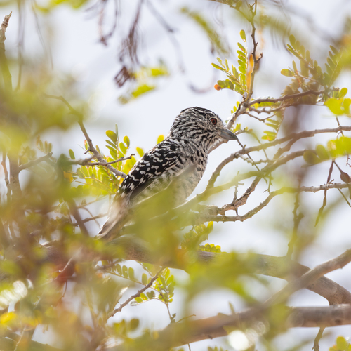
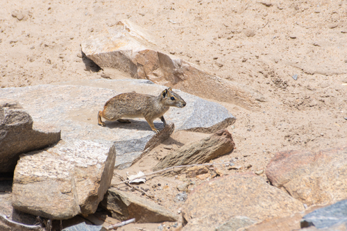
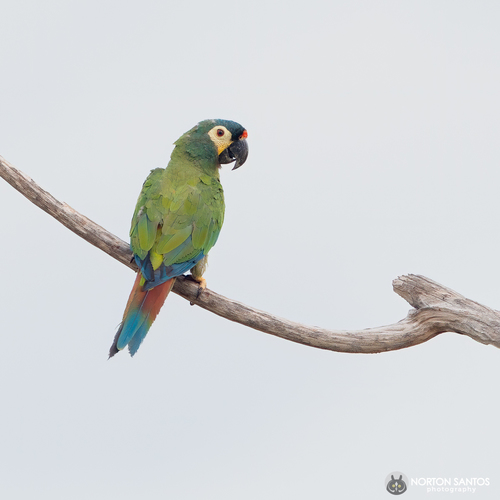
Research-grade observations from iNaturalist (within ~15 mi).
Events
Gallery
Official Identifiers
IBGE — Brazilian Institute of Geography and Statistics
- IBGE code
- 2932002
- UF
- BA
- Mesorregião
- Nordeste Baiano
- Microrregião
- Euclides da Cunha
servicodados.ibge.gov.br
Sources
- • Wikipedia
- • Wikidata
- • iNaturalist
- • Open-Elevation
- • Open-Meteo / sunrise-sunset.org
- • Wikipedia Pageviews API
- • Open Library
- • IBGE — Brazilian national statistics, via servicodados.ibge.gov.br (official municipal code, UF, mesorregião, microrregião, region)
- • IBGE — Brazilian Institute of Geography and Statistics — servicodados.ibge.gov.br