Browse / Brazil / Minas Gerais / Ubá
Ubá
Minas Geraiscity

Ubá
Total population
103,365
Founded
1857
Air quality index
Demographic figures from IBGE. Overview below cites Wikipedia and may reference a different year.
City facts
Facts from Wikidata (CC0).
Overview
Ubá is a municipality in the Zona da Mata region of southeastern Minas Gerais, Brazil. It had a population of 103,365 in the 2022 census, with an estimated population of 107,423 in 2025, in an area of 407.452 km2 (157.318 sq mi). It is part of the Immediate Geographic Region of Ubá, within the Intermediate Geographic Region of Juiz de Fora.
Read more on WikipediaHistory & geography
History
The Pomba River basin settlement took place, initially, due to the decline of mining activities. In the late 18th and early 19th century, several families left Mariana, Ouro Preto, and other mining centers in search of fertile land where they could undertake activities that would result in a more stable and secure incoming. The regions bathed by the Itajaí River, Chopotó River, Pomba River, among others, were of great interest because the land in those areas were of great fertility, and that they were previously inhabited only by natives (Coroados, Coropós and Purís) and adventurers. The attempts of colonization of Coroados, Coropós, Purís and Botocudos always ended in bloody battles between the indigenous people and the colonizers. During the battles, using arrows and axes against firearms, the natives were gradually slaughtered or made prisoners for slave labor, especially when it comes to young people and women. Due to the international pressure against the genocide of natives, the King of Portugal was convinced to order the Governor Luís Diogo Lobo da Silva to organize an expedition in an attempt to friendly approach the natives. In November 1767, Father Manoel de Jesus Maria was put in charge for the conversion of the natives to Catholicism, laying the groundwork for the entry of the owners of land grants after 1797. Captain Francisco Pires de Farinho, who was familiar with the tracks of forests and the indigenous customs, and was familiar with them, was named special guide with control power. Father Jesus Maria arrived at Uba River, where the Coroado natives lived. Those natives used a kind of grass, Gynerium sagittatum (in Portuguese, U-Uva), to make the arrows they used. For linguistic evolution U-Uva became Ubá. Between 1797 and 1798, the first land grants…
Excerpted from the corresponding Wikipedia article (CC BY-SA).
Geography
Coordinates & boundaries from the US Census TIGER/Line shapefiles.
Climate
Air quality
Current readings from Open-Meteo Air Quality API (Copernicus CAMS European reanalysis).
Walkability
Amenities nearby
Wildlife & biodiversity
Most-observed species
- Saffron FinchSicalis flaveola (Linnaeus, 1766) · Aves88
- Ruddy Ground-DoveColumbina talpacoti (Temminck, 1810) · Aves82
- Black VultureCoragyps atratus (Bechstein, 1793) · Aves81
- Picazuro PigeonPatagioenas picazuro (Temminck, 1813) · Aves76
- Rock PigeonColumba livia J.F.Gmelin, 1789 · Aves76
- House SparrowPasser domesticus (Linnaeus, 1758) · Aves74
- Great KiskadeePitangus sulphuratus (Linnaeus, 1766) · Aves73
- white-eyed conureAratinga leucophthalma (Statius Muller, 1776) · Aves70
Citizen-science & research observations from the Global Biodiversity Information Facility (GBIF).
Earthquake history
Events from the USGS Earthquake Catalog (global) (FDSN Event Web Service).
Photos
Sights & places nearby
Notable people from here
Nearby places in Minas Gerais
- Tocantins6.3 mi away · pop. 16,185
- Miragaia6.5 mi away
- Guidoval9.5 mi away · pop. 7,131
- São Geraldo15.4 mi away · pop. 10,282
- Senador Firmino17.3 mi away · pop. 7,716
- Silveirânia17.8 mi away · pop. 2,323
- Guarani17.9 mi away · pop. 7,714
- Miraí21.9 mi away · pop. 13,633
- Brás Pires27 mi away · pop. 4,260
- Ituí29.2 mi away
- Cipotânea31 mi away · pop. 5,581
- Paiva32.7 mi away · pop. 1,474
Geography & sun
Elevation, sunrise/sunset and daylight from Open-Meteo. Solar climatology from NASA POWER.
Nearby airports
Public attention
Pageview totals from the Wikimedia Pageviews API.
Books about Ubá
Search results from Open Library.
Recent natural events nearby
Ground air-quality sensors
Recently spotted species
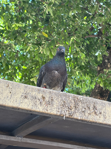
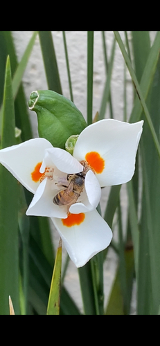
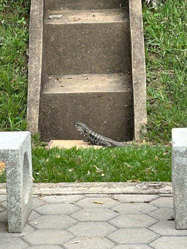
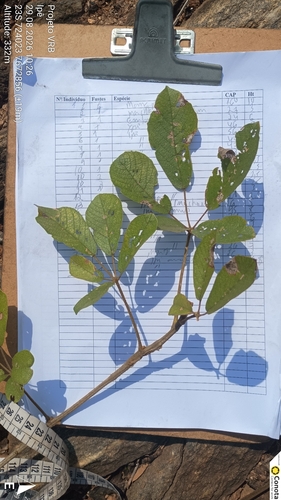
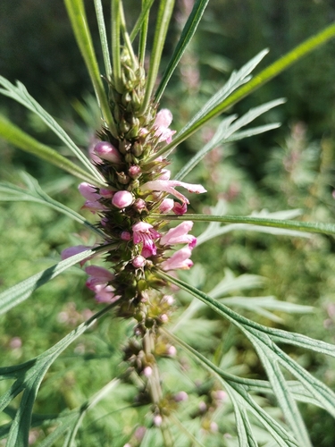
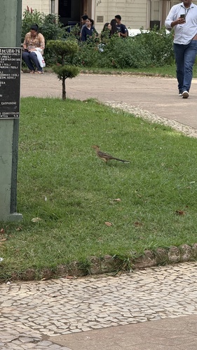
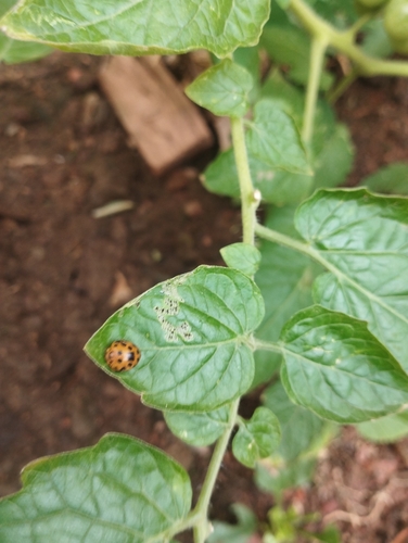
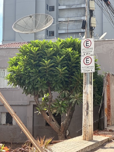
Research-grade observations from iNaturalist (within ~15 mi).
Events
Gallery
Official Identifiers
IBGE — Brazilian Institute of Geography and Statistics
- IBGE code
- 3169901
- UF
- MG
- Mesorregião
- Zona da Mata
- Microrregião
- Ubá
servicodados.ibge.gov.br
Sources
- • Wikipedia
- • Wikidata
- • Open-Meteo Air Quality (CAMS)
- • USGS Earthquake Catalog (global feed)
- • GBIF (Global Biodiversity Information Facility)
- • iNaturalist
- • Open-Meteo / sunrise-sunset.org
- • Wikipedia Pageviews API
- • Open Library
- • Wikidata SPARQL (CC0) — population, area, elevation, inception, head of government, Commons image
- • IBGE — Brazilian national statistics, via servicodados.ibge.gov.br (official municipal code, UF, mesorregião, microrregião, region)
- • IBGE — Brazilian Institute of Geography and Statistics — servicodados.ibge.gov.br