Browse / Brazil / Minas Gerais / Uberlândia
Uberlândia
Minas Geraiscity

Uberlândia
Total population
713,224
Founded
1888
Air quality index
Demographic figures from IBGE. Overview below cites Wikipedia and may reference a different year.
City facts
Facts from Wikidata (CC0).
Overview
Uberlândia is a Brazilian municipality located in the interior of the state of Minas Gerais, in the region known as Triângulo Mineiro, Southeast Region of the country. With a population of 754,954 inhabitants, according to the 2024 population estimate by the Brazilian Institute of Geography and Statistics (IBGE), it is the second most populous municipality in the state.
Read more on WikipediaHistory & geography
History
The first European to set foot in the region of the current municipality of Uberlândia, a territory then inhabited by Caiapó and Bororo indigenous peoples, was the bandeirante Bartolomeu Bueno da Silva in 1632. The region, initially part of the Captaincy of São Vicente, was incorporated into the Captaincy of Minas Gerais and São Paulo by a Royal Charter of 3 November 1709. João Pereira da Rocha (1818), after the region was explored by bandeirantes, settled in the area, marking land near the Aldeia de Santana (now Indianópolis). There, he established the headquarters of the sesmaria, which he named São Francisco Farm, giving rise to the municipality. He also demarcated the Letreiro Farm and Salto Farm and named a waterway he found Ribeirão São Pedro. João Pereira's arrival attracted many other families, including the Carrejos, who, in 1835, acquired part of the São Francisco Farm and nearby properties, forming settlements named Olhos d'Água, Lage, Marimbondo, and Tenda (Felisberto's). Felisberto Alves Carrijo, legally recognized as the city's founder in 1964, was a teacher educated in missionary schools. He established the first school in the municipality at his home and led Sunday rosary prayers. A settlement formed, later named Nossa Senhora do Carmo in honor of a chapel of the same name, inaugurated on 20 October 1853. On 11 June 1857, twelve additional alqueires donated by Luís Alves Pereira's wife, Custódia Fernandes dos Santos, and other citizens were incorporated into the settlement's patrimony. This area, already inhabited by enslaved people, gave rise to the Patrimônio neighborhood in the southern zone, under Provincial Law No. 831. Exactly one month later, the Parish of São Pedro de Uberabinha was created. In 1861, the Chapel of Our Lady of Mount Carmel was…
Geography
The municipality's area is 4,115.82 km², representing 0.7017% of the state, 0.4452% of the Southeast Region, and 0.0484% of the entire Brazilian territory. Of this total, 135.3492 km² are within the urban perimeter. Uberlândia's average elevation is 887 m. The highest point in the municipality is located at the headwaters of Cachoeirinha Stream, measuring 930 m. The lowest elevation is at the mouth of the Uberabinha River, at 622 m. The municipal seat is situated at an elevation of 863.18 m. Approximately 70% of Uberlândia's territory consists of rolling terrain, with the remaining 30% being flat. The city of Uberlândia also features several other green spaces, such as: * Parque do Sabiá: A park/zoo managed by FUTEL (Uberlândia Tourism, Sports, and Leisure Foundation), located in the Tibery neighborhood, East Zone of the city. It is a green complex comprising a zoo with dozens of captive animal species; seven lakes forming a large lagoon; an aquarium, housing 36 aquariums with 36 different fish species; a 5,100-meter running track; and other attractions. * Victorio Siquierolli Municipal Park: Located in the North Zone of Uberlândia, it features authentic examples of Cerrado vegetation, including leathery-leafed trees with twisted, rough trunks, colorful flowers, and wild fruits, as well as a playground for children and a Cerrado biodiversity museum. It covers a total area of square meters and is situated between the Jardim América II, Residencial Gramado, Nossa Senhora das Graças, and Cruzeiro do Sul neighborhoods. * Tubal Vilela Square, Clarimundo Carneiro Square, Sérgio Pacheco Square, and Bicota Square (Rui Barbosa Square) also are significant tourist attractions in the city. {| class=wikitable style="float:right; margin:0.5em; border-collapse:border;…
Excerpted from the corresponding Wikipedia article (CC BY-SA).
Geography
Coordinates & boundaries from the US Census TIGER/Line shapefiles.
Climate
10-year averages from ERA5 reanalysis (Open-Meteo).
Air quality
Current readings from Open-Meteo Air Quality API (Copernicus CAMS European reanalysis).
Walkability
Amenities nearby
Wildlife & biodiversity
Most-observed species
- Great KiskadeePitangus sulphuratus (Linnaeus, 1766) · Aves1,081
- Eared DoveZenaida auriculata (Des Murs, 1847) · Aves869
- Picazuro PigeonPatagioenas picazuro (Temminck, 1813) · Aves832
- Yellow-chevroned ParakeetBrotogeris chiriri (Vieillot, 1818) · Aves818
- Rufous HorneroFurnarius rufus (Gmelin, 1788) · Aves789
- Saffron FinchSicalis flaveola (Linnaeus, 1766) · Aves568
- Swallow-tailed HummingbirdEupetomena macroura (J.F.Gmelin, 1788) · Aves514
- Ruddy Ground-DoveColumbina talpacoti (Temminck, 1810) · Aves505
Citizen-science & research observations from the Global Biodiversity Information Facility (GBIF).
Earthquake history
Events from the USGS Earthquake Catalog (global) (FDSN Event Web Service).
Photos
Sights & places nearby
Notable people from here


People born within ~10 km, from Wikidata (CC0). Click any name for their Wikipedia article.
Nearby places in Minas Gerais
- Cruzeiro dos Peixotos14.4 mi away
- Martinésia14.9 mi away
- Indianópolis24.9 mi away · pop. 6,171
- Tapuirama27.2 mi away
- Monte Alegre de Minas39.6 mi away · pop. 20,170
- Santa Rita da Estrela40.1 mi away
- Nova Ponte43.1 mi away · pop. 14,598
- Romaria45.3 mi away · pop. 3,386
- Chapada de Minas47.3 mi away
- Iraí de Minas53.3 mi away · pop. 7,180
- Douradoquara55.2 mi away · pop. 1,829
- Santa Juliana56 mi away · pop. 15,734
Geography & sun
Nearby airports
Public attention
Books about this place
Recent natural events nearby
Ground air-quality sensors
Recently spotted species
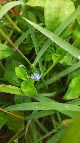
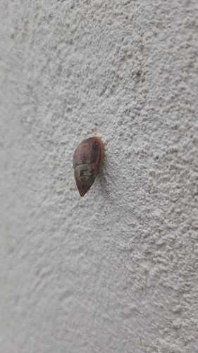
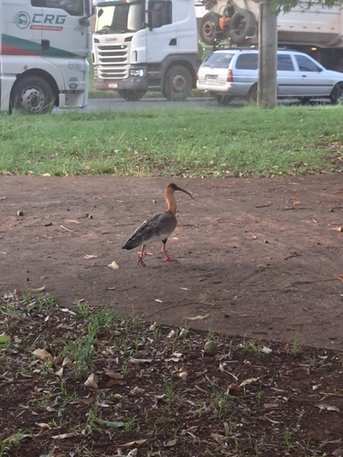
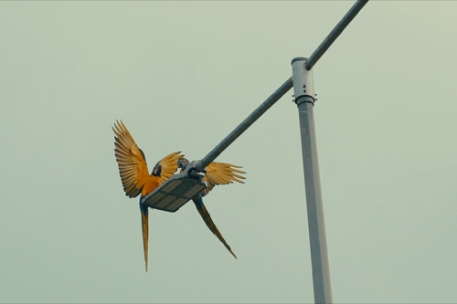
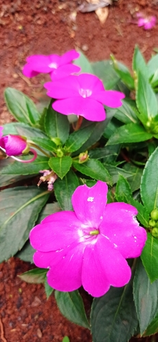
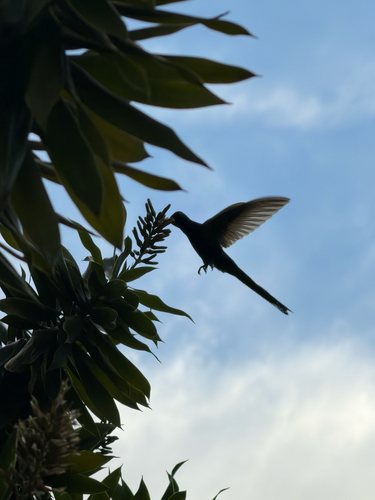
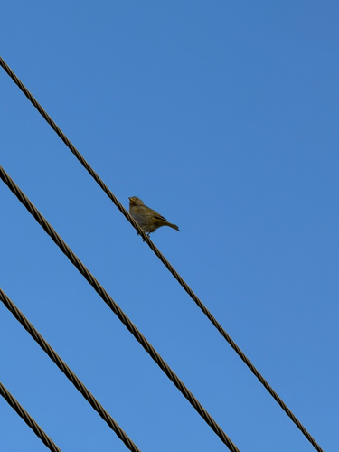
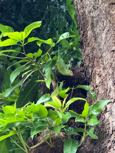
Research-grade observations from iNaturalist (within ~15 mi).
Events
Gallery
Geotagged photos within ~6 miles of Uberlândia, from Wikimedia Commons contributors.
 0 mi
0 mi 0.1 mi
 0.2 mi
 0.2 mi
 0.2 mi
 0.2 mi
 0.2 mi
 0.4 mi
 0.4 mi
 0.4 mi
.jpeg) 0.5 mi
0.5 mi 0.6 mi
 0.9 mi
.jpg) 0.9 mi
0.9 mi_Uberl%C3%A2ndia-MG_-_panoramio.jpg) 0.9 mi
0.9 mi 0.9 mi
.jpeg) 1 mi
1 mi 1.1 mi
 1.1 mi
 1.2 mi
 1.2 mi
 1.3 mi
 1.3 mi
 1.3 mi
Photos via Wikimedia Commons — see each image page for license & attribution.
Official Identifiers
IBGE — Brazilian Institute of Geography and Statistics
- IBGE code
- 3170206
- UF
- MG
- Mesorregião
- Triângulo Mineiro/Alto Paranaíba
- Microrregião
- Uberlândia
servicodados.ibge.gov.br
Sources
- • Wikipedia
- • Open-Meteo (ERA5 reanalysis)
- • Wikimedia Commons
- • Wikidata
- • Open-Meteo Air Quality (CAMS)
- • USGS Earthquake Catalog (global feed)
- • GBIF (Global Biodiversity Information Facility)
- • iNaturalist
- • Wikidata SPARQL (CC0) — population, area, elevation, inception, head of government, Commons image
- • IBGE — Brazilian national statistics, via servicodados.ibge.gov.br (official municipal code, UF, mesorregião, microrregião, region)
- • IBGE — Brazilian Institute of Geography and Statistics — servicodados.ibge.gov.br