Browse / Brazil / Minas Gerais / Unaí
Unaí
Minas Geraistown

Unaí
Total population
86,619
Demographic figures from IBGE. Overview below cites Wikipedia and may reference a different year.
City facts
Facts from Wikidata (CC0).
Overview
Unaí is a municipality in the Northern Region of Minas Gerais, in the Brazilian state of Minas Gerais, in the Southeast Region of Brazil. It is located 590 km from the capital of Minas Gerais and 164 km from the federal capital. Unaí is the main municipality of its micro-region of the same name and, together with Paracatu, the most important city of the said mesoregion of Minas Gerais. Due to its geopolitical location, because it is geographically and politically linked to Brasilia and politically to Belo Horizonte, the municipality has a strong economic dynamism for a municipality that still carries the typically mineiro custom.
Read more on WikipediaHistory & geography
History
In the municipality of Unai, there is the archaeological site Cave Gentile II, which records traces of hunter-gatherer peoples of more than 10,000 years, and gardeners people of almost 4000 years, they grew, according abundant plant remains: Corn, peanuts, pumpkin and gourd. In the city, it has the record of the oldest Brazilian ceramics outside the Amazon, dated 3500 years. At the time of arrival of the first Europeans to Brazil, the central portion of Brazil was occupied by indigenous Macro-Ge linguistic trunk, as acroás, the xacriabás, the Xavante, the Kayapo, the Javaés, among others povos. Over the centuries XVI, XVII and XVIII, numerous expeditions composed of Portuguese descent (called Scouts) swept the region in search of gold, precious stones and hand indigenous slave labor. In the nineteenth century, the farmer Domingos Pinto Brochado settled, along with their families, in an area near the Rio Preto called White Grass. In 1873, the village was elevated to the rank of belonging to Paracatu district, with Rio Preto name. In 1923, the district was renamed to Unai, which is a translation for the Tupi language, the ancient name of the district, Rio Preto. In 1943, Unai emancipated the city of Paracatu. On January 28, 2004, three labor inspectors and the driver who led them were murdered in a rural area of the municipality during an inspection on farms in the region, a crime that became known nationally as the Slaughter of Unai
Geography
Situated in the middle region of the Northwest of Minas Gerais and in the micro region of Unai, has an area of 8492 km square, representing 1.443 percent of the state, 0.9155 percent of the Southeast region of Brazil and 0.0996 percent of all Brazilian territory. Its estimated population in 2013 was 81,693 inhabitants. Among the main geographical features are the following: *Cave of Tamboril with approximately 1178 meters of development; *Cave of Gentio; *Lapa do Sapezal or Cave of the Moeda; *Waterfall of Jiboia (140 meters free fall); *Waterfall of Queimado; *Waterfall do Rio Preto (two kilometers from the city center); *Cave of Quilombo (the name originated in the nineteenth century, when blacks unhappy with the harsh working conditions in Paracatu gold mine took refuge in the cave); *Stone of Canto (Pedra do Canto); *Serra Geral do Rio Preto (Mountain); *Serra of Pico (Mountain); *Serra do Jataí (Mountain); *Stone of Canto- It is located in Pedra Farm. Has Napoleon's hat shape. *Serra Geral do Rio Preto - Splitter micro basins of the Black and Urucuia rivers. *The Pico Mountain and Sierra Jataí - Elongated and parallel, separate strands of Ribeirao Roncador and Canabrava. In addition to the Gentio II Cave, there are the Gentio I Caves, Cave of monkfish and the Grotto Sapezal or Lapa Money, about 80 meters diâmetrocom various formations of stalactites and stalagmites, as well as a lake of blue water. Dista forty kilometers from the city of Unai and is located inside a mountain on private land. Great emphasis can be given to the Waterfall Jiboia, which is located about fifty miles Unai. The waterfall is formed by the Ribeirão Jiboia and has approximately 140 meters of free fall. Unai resists droughts that occur every year, thanks to the river Rio Preto…
Excerpted from the corresponding Wikipedia article (CC BY-SA).
Geography
Coordinates & boundaries from the US Census TIGER/Line shapefiles.
Climate
Air quality
Walkability
Amenities nearby
Wildlife & biodiversity
Earthquake history
Photos
Sights & places nearby
Notable people from here
Nearby places in Minas Gerais
- Natalândia28.2 mi away · pop. 3,520
- Dom Bosco45.9 mi away · pop. 3,697
- Uruana de Minas47.1 mi away · pop. 3,282
- Bonfinópolis de Minas61.6 mi away · pop. 5,528
- Urucuia78.2 mi away · pop. 17,479
- Caatinga85.8 mi away
- Santa Luzia da Serra103.2 mi away
- Claro de Minas108.8 mi away
- Paredão de Minas109.2 mi away
- Vazante112.4 mi away · pop. 19,975
- Serra das Araras115.7 mi away
- Pintópolis117.7 mi away · pop. 7,084
Geography & sun
Elevation, sunrise/sunset and daylight from Open-Meteo. Solar climatology from NASA POWER.
Nearby airports
Public attention
Pageview totals from the Wikimedia Pageviews API.
Books about Unaí
Search results from Open Library.
Recent natural events nearby
Ground air-quality sensors
Recently spotted species
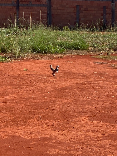
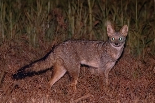
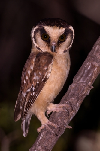
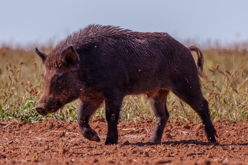
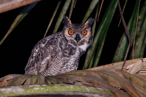
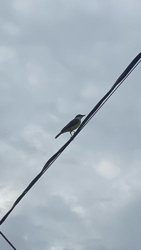
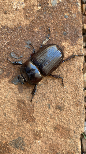
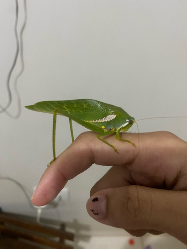
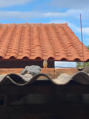
Research-grade observations from iNaturalist (within ~15 mi).
Events
Gallery
Official Identifiers
IBGE — Brazilian Institute of Geography and Statistics
- IBGE code
- 3170404
- UF
- MG
- Mesorregião
- Noroeste de Minas
- Microrregião
- Unaí
servicodados.ibge.gov.br
Sources
- • Wikipedia
- • Wikidata
- • iNaturalist
- • Open-Meteo / sunrise-sunset.org
- • Wikipedia Pageviews API
- • Open Library
- • Wikidata SPARQL (CC0) — population, area, elevation, inception, head of government, Commons image
- • IBGE — Brazilian national statistics, via servicodados.ibge.gov.br (official municipal code, UF, mesorregião, microrregião, region)
- • IBGE — Brazilian Institute of Geography and Statistics — servicodados.ibge.gov.br