Browse / Brazil / Sergipe / Uzeda
Uzeda
Sergipehamlet

Uzeda
Founded
1987
Demographic figures from IBGE. Overview below cites Wikipedia and may reference a different year.
City facts
Facts from Wikidata (CC0).
Overview
Uzeda is an Italian underground rock group founded in Catania, Sicily, in 1987 by lead singer Giovanna Cacciola, guitarists Agostino Tilotta and Giovanni Nicosia, bassist Raffaele Gulisano and drummer Davide Oliveri.
Read more on WikipediaHistory & geography
Geography
Coordinates & boundaries from the US Census TIGER/Line shapefiles.
Climate
Air quality
Walkability
Amenities nearby
Wildlife & biodiversity
Most-observed species
- Great KiskadeePitangus sulphuratus (Linnaeus, 1766) · Aves70
- Tropical KingbirdTyrannus melancholicus Vieillot, 1819 · Aves70
- Sayaca TanagerThraupis sayaca (Linnaeus, 1766) · Aves69
- Southern CaracaraCaracara plancus (J.F.Miller, 1777) · Aves67
- House SparrowPasser domesticus (Linnaeus, 1758) · Aves66
- Southern House-WrenTroglodytes musculus J.F.Naumann, 1823 · Aves61
- Southern LapwingVanellus chilensis (Molina, 1782) · Aves57
- Rufous HorneroFurnarius rufus (Gmelin, 1788) · Aves56
Citizen-science & research observations from the Global Biodiversity Information Facility (GBIF).
Earthquake history
Events from the USGS Earthquake Catalog (global) (FDSN Event Web Service).
Photos
Sights & places nearby
Notable people from here
Nearby places in Sergipe
Geography & sun
Elevation, sunrise/sunset and daylight from Open-Meteo. Solar climatology from NASA POWER.
Nearby airports
Public attention
Pageview totals from the Wikimedia Pageviews API.
Books about this place
Recent natural events nearby
Ground air-quality sensors
Recently spotted species
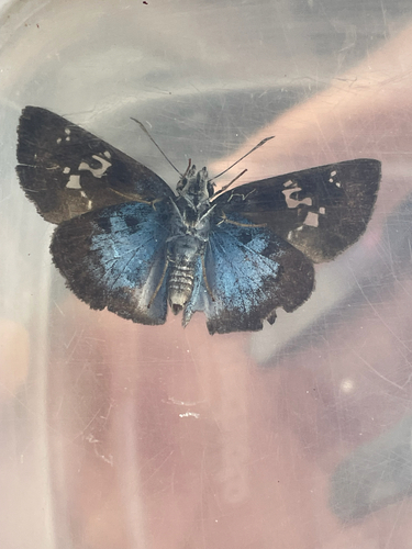
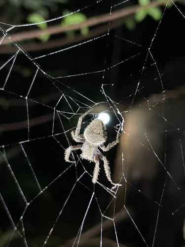
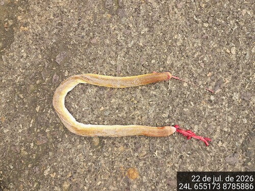
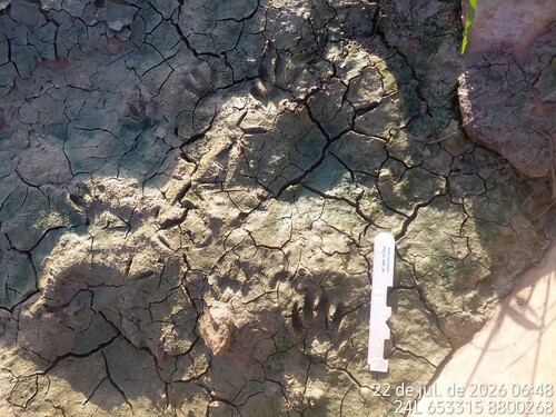
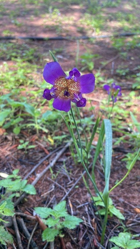
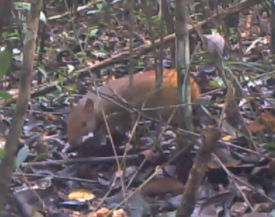
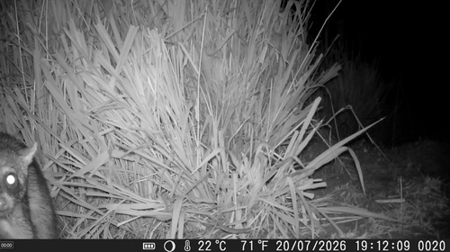
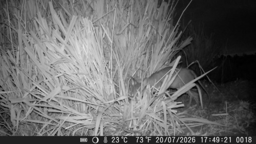
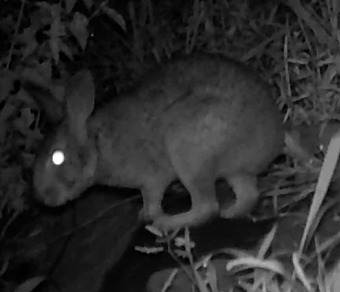
Research-grade observations from iNaturalist (within ~15 mi).
Events
Gallery
Sources
- • Wikipedia
- • Wikidata
- • USGS Earthquake Catalog (global feed)
- • GBIF (Global Biodiversity Information Facility)
- • iNaturalist
- • Open-Meteo / sunrise-sunset.org
- • Wikipedia Pageviews API