Browse / Brazil / Ceará / Várzea Alegre
Várzea Alegre
Cearátown
Total population
38,984
Air quality index
Demographic figures from IBGE. Overview below cites Wikipedia and may reference a different year.
City facts
Sister cities
Facts from Wikidata (CC0).
Overview
Várzea Alegre is a municipality in the state of Ceará in the Northeast region of Brazil. Its area is 835.706 km2, including the Calabaça (pumpkin), Canindezinho, Ibicatu, Naraniú and Lagoa Verde districts.
Read more on WikipediaHistory & geography
History
There is little information on the early settlement of Várzea Alegre. Pioneer explorers of the region saw the valley on the dangerous walk towards Cariri and named it Várzea Alegre after the floodplain or lowland where the city is located. It is one of the few cities in Ceará that has never changed its name. On October 10, 1870, Provincial Law No. 1.329 established the municipality. Várzea Alegre was separated from Lavras da Mangabeira, previously part of Cedro, in November 1863. The city's assets consisted of a patch of land, donated by Major Joaquim Alves Bezerra, his wife and others, on October 19. The local parish was established on November 30, 1863. According to tradition, the church of São Raimundo Nonato was built by the sons of Raimundo Bezerra, known as "Father Raymond". Várzea Alegre is known as the "Land of Contrasts". Those contrasts have inspired songs like Luiz Gonzaga's "Contrastes de Várzea Alegre", with lyrics by the composer José Clementino.
Geography
Located 290 miles from Fortaleza, Várzea Alegre has an area of 81,120 km2 and a population of 40,903. Annual income per capita is R$325.85, the 79th highest in the state. The high concentration of wealth is such that more than half the population must survive on a monthly income of less than half the minimum wage. The municipality has a population density of 42.95 inhabitants per km2. Urbanization is 55.30% (19,268 inhabitants in the urban area) and increasing. Natural resources include soil, water and vegetation favoring agricultural development, but the city has never had a policy of land recovery and constantly finds itself plagued by drought, forcing people to seek survival in urban areas. The climate of Várzea Alegre is semi-arid and does not vary greatly. The average temperature is 27 °C and average annual rainfall is 965.3 mm. The rainy season generally begins in January and continues until June. Drought sometimes occurs. The main streams are the Machado, São Miguel, and the Riacho do Meio (Middle Creek) and its tributaries the Mocotó, Caiana, Feijão and Umari dos Carlos, irrigating the entire territory and serving as natural boundaries between Cedro and Lavras da Mangabeira. The following water sources serve the municipality: * Main dams: Caraíbas, Riacho Verde, Lagoa Seca, Vacaria, Mameluco, Brejo, Olho D'água and Ubaldinho. * Main reservoirs: Fortuna and Cachoeira Dantas. * Main lagoons: Lagoa de São Raimundo, Lagoa de Iputi, Lagoa dos Nunes, Lagoa de Dentro.
Excerpted from the corresponding Wikipedia article (CC BY-SA).
Geography
Coordinates & boundaries from the US Census TIGER/Line shapefiles.
Climate
Air quality
Current readings from Open-Meteo Air Quality API (Copernicus CAMS European reanalysis).
Walkability
Amenities nearby
Wildlife & biodiversity
Most-observed species
- Southern CaracaraCaracara plancus (J.F.Miller, 1777) · Aves3
- Wattled JacanaJacana jacana (Linnaeus, 1766) · Aves3
- Lesser Yellow-headed VultureCathartes burrovianus Cassin, 1845 · Aves3
- Black VultureCoragyps atratus (Bechstein, 1793) · Aves3
- Eurasian MoorhenGallinula chloropus (Linnaeus, 1758) · Aves3
- Cattle EgretBubulcus ibis (Linnaeus, 1758) · Aves2
- Caatinga CacholotePseudoseisura cristata (Spix, 1824) · Aves2
- Common PurslanePortulaca oleracea L. · Magnoliopsida2
Citizen-science & research observations from the Global Biodiversity Information Facility (GBIF).
Earthquake history
Events from the USGS Earthquake Catalog (global) (FDSN Event Web Service).
Photos
Sights & places nearby
Notable people from here


People born within ~10 km, from Wikidata (CC0). Click any name for their Wikipedia article.
Nearby places in Ceará
Geography & sun
Elevation, sunrise/sunset and daylight from Open-Meteo. Solar climatology from NASA POWER.
Nearby airports
Public attention
Pageview totals from the Wikimedia Pageviews API.
Books about Várzea Alegre
Search results from Open Library.
Recent natural events nearby
Ground air-quality sensors
Recently spotted species
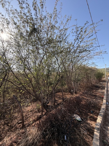
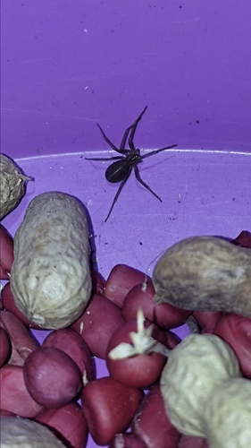
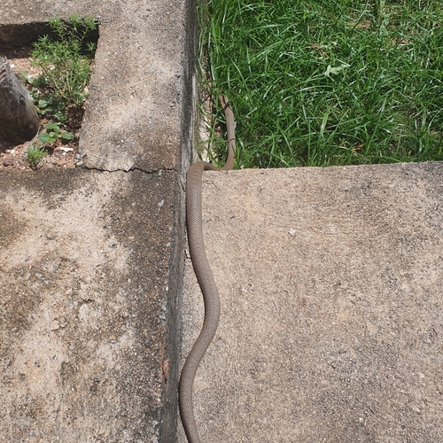
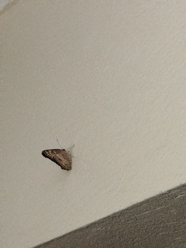
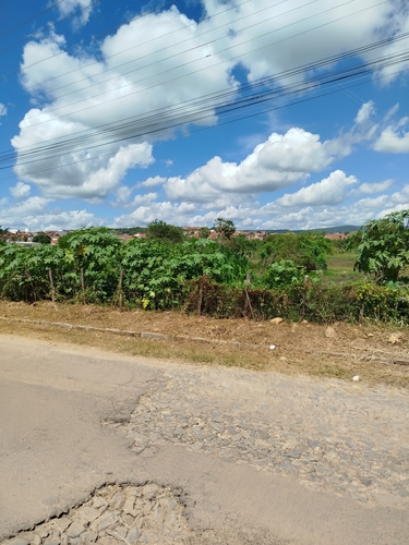
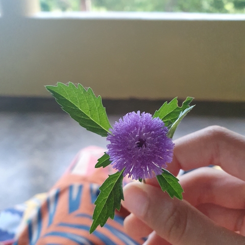
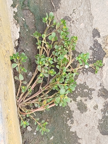
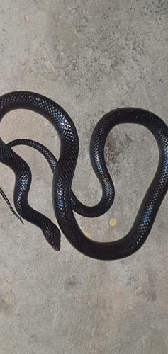
Research-grade observations from iNaturalist (within ~15 mi).
Events
Gallery
Official Identifiers
IBGE — Brazilian Institute of Geography and Statistics
- IBGE code
- 2314003
- UF
- CE
- Mesorregião
- Centro-Sul Cearense
- Microrregião
- Várzea Alegre
servicodados.ibge.gov.br
Sources
- • Wikipedia
- • Wikidata
- • Open-Meteo Air Quality (CAMS)
- • USGS Earthquake Catalog (global feed)
- • GBIF (Global Biodiversity Information Facility)
- • iNaturalist
- • Open-Meteo / sunrise-sunset.org
- • Wikipedia Pageviews API
- • Open Library
- • IBGE — Brazilian national statistics, via servicodados.ibge.gov.br (official municipal code, UF, mesorregião, microrregião, region)
- • IBGE — Brazilian Institute of Geography and Statistics — servicodados.ibge.gov.br