Browse / Brazil / São Paulo / Vila Audenia
Vila Audenia
São Paulohamlet
Air quality index
Demographic figures from IBGE. Overview below cites Wikipedia and may reference a different year.
City facts
Overview
Vila Audenia sits in São Paulo, Brazil and is identified as a hamlet. No reliable population estimate is published for this entry in the open data we rely on. Located at -22.213°, -50.233°, Vila Audenia occupies a tropical portion of the southern hemisphere. The latitude suggests warm temperatures throughout the year with pronounced wet and dry seasons. Solar-resource estimates put the area at about 1,891 kWh/m² of solar irradiance per year with sunshine for roughly 74% of daylight hours. Open-data panels below dive into population trends, climate normals, environmental indicators and nearby places.
Summary composed automatically from structured open data on this page. See our Terms for details.
History & geography
Geography
Coordinates & boundaries from the US Census TIGER/Line shapefiles.
Climate
Air quality
Current readings from Open-Meteo Air Quality API (Copernicus CAMS European reanalysis).
Walkability
Amenities nearby
Wildlife & biodiversity
Most-observed species
- Great KiskadeePitangus sulphuratus (Linnaeus, 1766) · Aves32
- Picazuro PigeonPatagioenas picazuro (Temminck, 1813) · Aves31
- Southern LapwingVanellus chilensis (Molina, 1782) · Aves25
- white-eyed conureAratinga leucophthalma (Statius Muller, 1776) · Aves23
- Yellow-chevroned ParakeetBrotogeris chiriri (Vieillot, 1818) · Aves21
- Black VultureCoragyps atratus (Bechstein, 1793) · Aves18
- Roadside HawkRupornis magnirostris (Gmelin, 1788) · Aves17
- Saffron FinchSicalis flaveola (Linnaeus, 1766) · Aves15
Citizen-science & research observations from the Global Biodiversity Information Facility (GBIF).
Earthquake history
Most recent
- M 3.5 — 2018-07-2616 km SW of Penápolis, Brazil
Events from the USGS Earthquake Catalog (global) (FDSN Event Web Service).
Photos
Sights & places nearby
Notable people from here
Nearby places in São Paulo
- Amadeu Amaral14.7 mi away
- Novo Cravinhos17.4 mi away
- Bairro de Córdoba25.2 mi away
- Cardoso de Almeida29.1 mi away
- Bairro São Bento30.6 mi away
- Álvaro de Carvalho34.2 mi away · pop. 4,808
- Bairro da Serrinha35.8 mi away
- Garça37 mi away · pop. 42,110
- Bastos37.7 mi away · pop. 21,503
- Bairro Atali39.2 mi away
- Santa Maria do Gurupá40.9 mi away
- Ubirajara42.4 mi away · pop. 5,132
Geography & sun
Elevation, sunrise/sunset and daylight from Open-Meteo. Solar climatology from NASA POWER.
Nearby airports
Public attention
Books about this place
Recent natural events nearby
Ground air-quality sensors
Recently spotted species
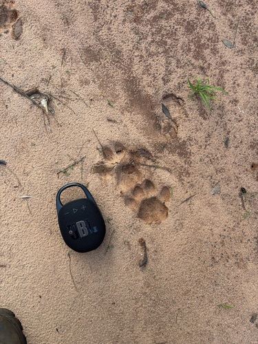
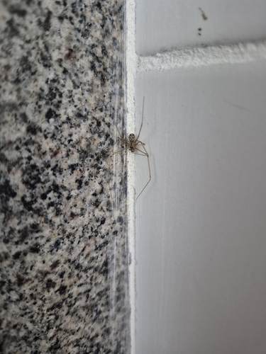
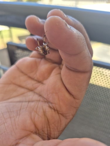
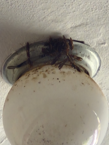
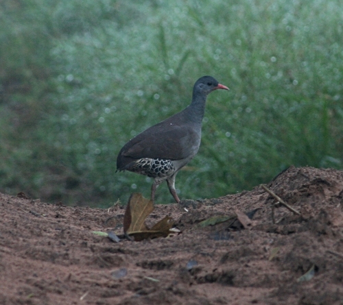
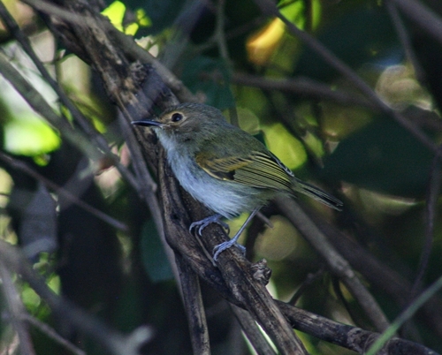
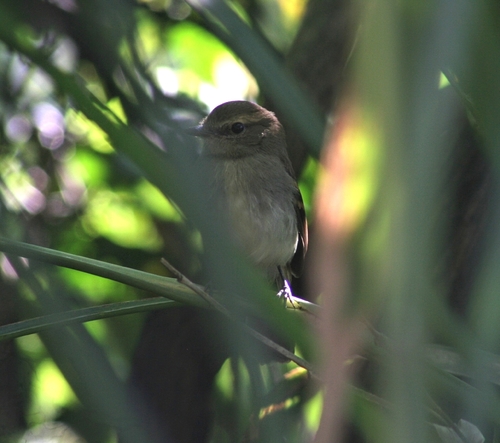
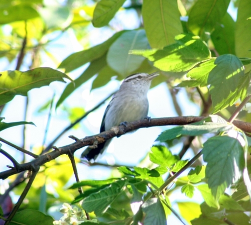
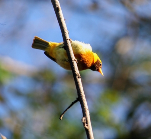
Research-grade observations from iNaturalist (within ~15 mi).
Events
Gallery
Sources
- • Wikidata
- • Open-Meteo Air Quality (CAMS)
- • USGS Earthquake Catalog (global feed)
- • GBIF (Global Biodiversity Information Facility)
- • iNaturalist
- • Open-Meteo / sunrise-sunset.org