Browse / Brazil / Espírito Santo / Vila Velha
Vila Velha
Espírito Santocity

Vila Velha
Total population
467,722
Founded
1535
Demographic figures from IBGE. Overview below cites Wikipedia and may reference a different year.
City facts
Sister cities
Facts from Wikidata (CC0).
Overview
Vila Velha is a Brazilian municipality situated on the coast of the state of Espírito Santo, in the Southeast Region of Brazil. It is part of the Greater Vitória Metropolitan Area and covers an area of 209.965 km2 (81.068 sq mi), of which 54.57 km2 (21.07 sq mi) is within the urban area. According to estimates by the Brazilian Institute of Geography and Statistics (IBGE) in 2024, its population was 502,899 inhabitants, making it the second most populous municipality in Espírito Santo, surpassed only by Serra.
Read more on WikipediaHistory & geography
History
In the 16th century, when Portuguese colonizers first arrived in the region now known as Vila Velha, the area was contested by three distinct indigenous groups: the Goitacá (from the south), the Aimoré (from the interior), and the Tupiniquim (from the north). The Portuguese grantee of the Captaincy of Espírito Santo, Vasco Fernandes Coutinho, landed at the present-day Prainha (then called Piratininga by the indigenous people) aboard the caravel Glória with 60 men on 23 May 1535. He founded the "Vila do Espírito Santo" (now Vila Velha), named so because it was the Sunday of Pentecost. The settlement became the captaincy’s capital. Due to frequent attacks by indigenous groups, French, and Dutch forces, the Portuguese relocated the captaincy’s capital in 1551 to the present-day city of Vitória, on Santo Antônio Island in Vitória Bay. Little is known about Vila Velha’s history from the 16th to the 19th centuries. During this period, notable events include the completion of the Penha Convent and Dutch attacks on sugar plantations in the 17th century. sustained by slave labor of indigenous and Black individuals. In the area now known as the Aribiri neighborhood, a quilombo of escaped slaves existed, which, in the early 20th century, gave rise to a settlement and later the neighborhood. In 1890, the municipality was formally established under the Espírito Santo Constitution, changing its name from "Vila do Espírito Santo" to "Vila Velha." In the following decade, a city plan was drafted, followed by street expansions and other infrastructure projects, which began attracting commercial investors. However, significant economic growth occurred only after the construction of the Florentino Ávidos Bridge in the late 1920s, connecting Vila Velha to Vitória. The city also boasts…
Geography
According to the Brazilian Institute of Geography and Statistics, the municipality spans , with in the urban area and the remaining in the rural area. Under the regional division effective since 2017, established by the IBGE, the municipality belongs to the Intermediate and Immediate Geographic Regions of Vitória. Previously, under the division into microregions and mesoregions, it was part of the Vitória microregion, within the Central Espírito-Santense mesoregion. The ongoing conurbation process in the region is forming a metropolis centered in Vitória, extending to the municipalities of Cariacica, Fundão, Guarapari, Serra, Viana, and Vila Velha. The Greater Vitória Metropolitan Area (RMV) was established by State Complementary Law No. 58 on 21 February 1995, and is currently the 14th largest urban agglomeration in Brazil, with over 1.68 million inhabitants. It is the most dynamic economic region in Espírito Santo, accounting for 58% of the state’s wealth and housing 46% of its population and 57% of its urban population. Vila Velha encompasses two hydrographic basins: the Guarapari River and Jucu River basins, with areas of and , respectively. The Jucu River is the main river flowing through the municipality, originating in the mountainous region of Domingos Martins and emptying into the Atlantic Ocean within Vila Velha’s territory. It supplies water to 60% of the Greater Vitória Metropolitan Area’s population. The river’s confluence with the sea occasionally forms small tidal bores during certain periods of the year. The climate of Vila Velha is classified by the Brazilian Institute of Geography and Statistics as tropical hot super-humid (type Aw per the Köppen classification), characterized by dry, mild winters and rainy summers. Winds are consistent…
Excerpted from the corresponding Wikipedia article (CC BY-SA).
Geography
Coordinates & boundaries from the US Census TIGER/Line shapefiles.
Climate
Air quality
Walkability
Amenities nearby
Wildlife & biodiversity
Most-observed species
- Great KiskadeePitangus sulphuratus (Linnaeus, 1766) · Aves1,253
- Black VultureCoragyps atratus (Bechstein, 1793) · Aves1,142
- Saffron FinchSicalis flaveola (Linnaeus, 1766) · Aves933
- Tropical KingbirdTyrannus melancholicus Vieillot, 1819 · Aves801
- Picazuro PigeonPatagioenas picazuro (Temminck, 1813) · Aves798
- Ruddy Ground-DoveColumbina talpacoti (Temminck, 1810) · Aves795
- Pale-breasted ThrushTurdus leucomelas Vieillot, 1818 · Aves678
- Palm TanagerThraupis palmarum (Wied-Neuwied, 1821) · Aves592
Citizen-science & research observations from the Global Biodiversity Information Facility (GBIF).
Earthquake history
Events from the USGS Earthquake Catalog (global) (FDSN Event Web Service).
Photos
Sights & places nearby
Notable people from here


People born within ~10 km, from Wikidata (CC0). Click any name for their Wikipedia article.
Nearby places in Espírito Santo
Geography & sun
Elevation, sunrise/sunset and daylight from Open-Meteo. Solar climatology from NASA POWER.
Nearby airports
Public attention
Pageview totals from the Wikimedia Pageviews API.
Books about Vila Velha
Search results from Open Library.
Recent natural events nearby
Ground air-quality sensors
Recently spotted species

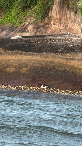
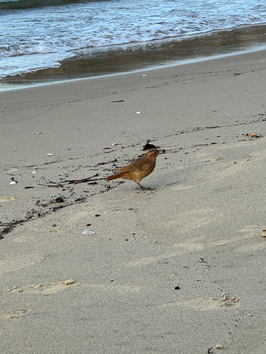
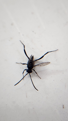
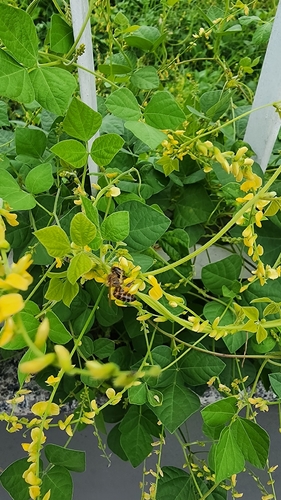
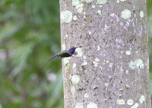
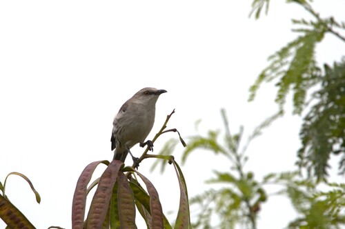
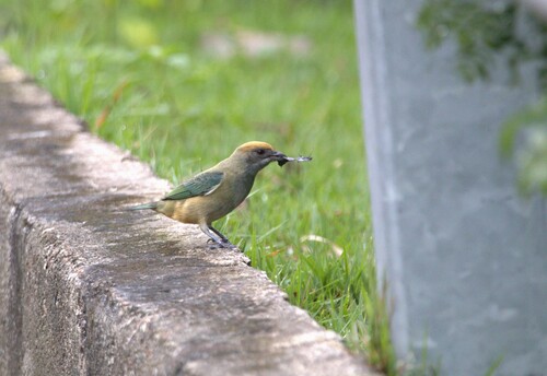
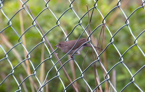
Research-grade observations from iNaturalist (within ~15 mi).
Events
Gallery
Official Identifiers
IBGE — Brazilian Institute of Geography and Statistics
- IBGE code
- 3205200
- UF
- ES
- Mesorregião
- Central Espírito-santense
- Microrregião
- Vitória
servicodados.ibge.gov.br
Sources
- • Wikipedia
- • Wikidata
- • USGS Earthquake Catalog (global feed)
- • GBIF (Global Biodiversity Information Facility)
- • iNaturalist
- • Open-Meteo / sunrise-sunset.org
- • Wikipedia Pageviews API
- • Open Library
- • Wikidata SPARQL (CC0) — population, area, elevation, inception, head of government, Commons image
- • IBGE — Brazilian national statistics, via servicodados.ibge.gov.br (official municipal code, UF, mesorregião, microrregião, region)
- • IBGE — Brazilian Institute of Geography and Statistics — servicodados.ibge.gov.br