Browse / Brazil / Rio de Janeiro / Werneck
Werneck
Rio de Janeirovillage
Demographic figures from IBGE. Overview below cites Wikipedia and may reference a different year.
City facts
Facts from Wikidata (CC0).
Overview
Werneck sits in Rio de Janeiro, Brazil and is identified as a village. Its coordinates of -22.213°, -43.317° place it in the tropical zone of the southern hemisphere. Up-to-date population figures for this locality are not available in the open datasets we monitor. The location receives about 1,720 kWh/m² of solar irradiance per year and sunshine for roughly 67% of daylight hours. Climatically, locations at this latitude tend to experience warm temperatures throughout the year with pronounced wet and dry seasons. Read on for charts and tables covering demographics, climate, hazards, schools, wildlife and other open-data indicators for Werneck.
Summary composed automatically from structured open data on this page. See our Terms for details.
History & geography
History
The first written record of Werneck is dated 10 August 1223, as a fief granted by Bodo of Ravensburg, confirmed by the Pope on 9 April 1223. Between 1224 and 1250, possession of the fief was shared between first the Teutonic Knights and later Conrad of Reichenberg and Conrad of Schmiedefeld, until it finally passed to the Bishopric of Würzburg. A fort located there was sacked in the Peasants' War in 1525 and then seized and burnt down by Albert Alcibiades, Margrave of Brandenburg-Kulmbach in 1553. It was rebuilt in 1601 under Prince-Bishop Julius Echter von Mespelbrunn, but was again destroyed by fire in 1723 and merely patched up in 1724. The current baroque palace, Schloss Werneck, designed by Balthasar Neumann, was built in 1733–45 by Prince Bishop Friedrich Karl von Schönborn. For half a century it was, with Veitshöchheim, a summer residence of the Bishops of Würzburg. On 28 November 1802, the last Prince-Bishop of Würzburg, Georg Karl von Fechenbach, released his vassals there from their oaths of service and recommended them to the new regional overlord, Maximilian, Prince-Elector of Bavaria. In 1803, following secularisation, Werneck became a Bavarian possession. In 1805 it was transferred to Ferdinand III, Grand Duke of Tuscany as part of the formation of the Grand Duchy of Würzburg. The Treaty of Paris in 1814 returned it to Bavaria. Beginning in 1853, the palace was converted into a hospital for the mentally ill, the Unterfränkische Landes-Irrenanstalt (Lower Franconian State Asylum), which opened on 1 October 1855. Its first director was Bernhard von Gudden (who later wrote the clinical assessment which justified deposing King Ludwig II and who drowned with him in Lake Starnberg). The hospital is thus one of the oldest psychiatric institutions in…
Geography
Werneck lies in the Lower Franconia region of Bavaria, approximately 12 km from Schweinfurt and 25 km from Würzburg. It is located on a bend in the Wern, a tributary of the Main, on the edge of the plateau above the river. Its highest point is at 337.20 m of elevation, its lowest at 212.50 m. The total area of the municipality is 73.65 km², of which approximately 9 km² are wooded. Werneck has the following Ortsteile: * Eckartshausen * Egenhausen * Ettleben * Eßleben * Mühlhausen * Rundelshausen * Schleerieth * Schnackenwerth * Schraudenbach * Stettbach * Vasbühl * Werneck * Zeuzleben
Excerpted from the corresponding Wikipedia article (CC BY-SA).
Geography
Coordinates & boundaries from the US Census TIGER/Line shapefiles.
Climate
Air quality
Walkability
Amenities nearby
Wildlife & biodiversity
Earthquake history
Photos
Sights & places nearby
Notable people from here


People born within ~10 km, from Wikidata (CC0). Click any name for their Wikipedia article.
Nearby places in Rio de Janeiro
Geography & sun
Elevation, sunrise/sunset and daylight from Open-Meteo. Solar climatology from NASA POWER.
Nearby airports
Public attention
Pageview totals from the Wikimedia Pageviews API.
Books about Werneck


Search results from Open Library.
Recent natural events nearby
Ground air-quality sensors
Recently spotted species
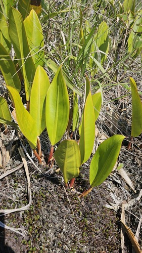
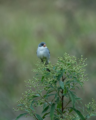
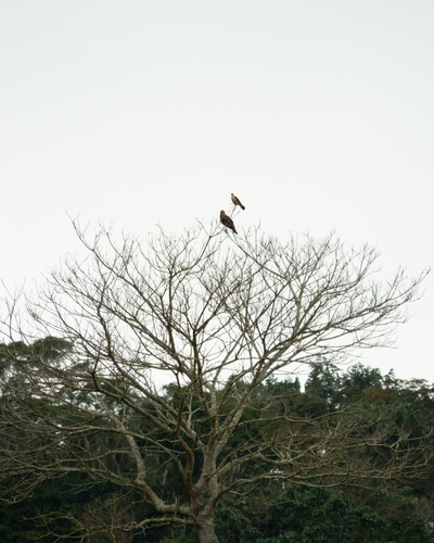
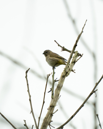
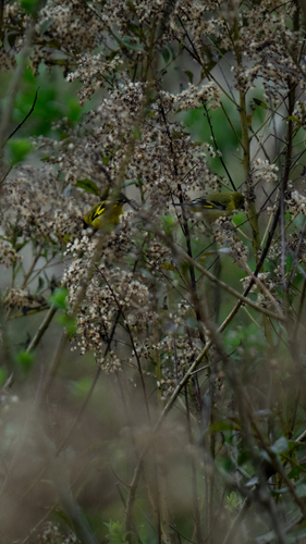
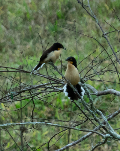
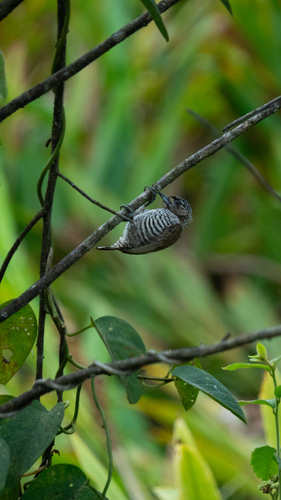
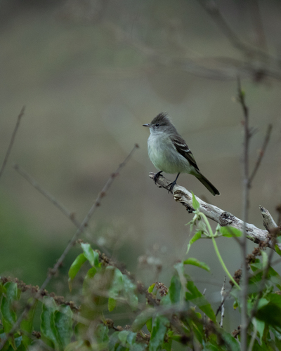
Research-grade observations from iNaturalist (within ~15 mi).
Events
Gallery
Sources
- • Wikipedia
- • Wikidata
- • iNaturalist
- • Open-Meteo / sunrise-sunset.org
- • Wikipedia Pageviews API
- • Open Library