Browse / Botswana / Ghanzi / Makunda
Makunda
Ghanzivillage
Demographic figures from Statistics Botswana. Overview below cites Wikipedia and may reference a different year.
City facts
Overview
Makunda is a village in Ghanzi District of Botswana. It is located close to the Namibian border. The population was 331 in 2001 census.
Read more on WikipediaHistory & geography
Geography
Coordinates & boundaries from the US Census TIGER/Line shapefiles.
Climate
Air quality
Walkability
Amenities nearby
Wildlife & biodiversity
Most-observed species
- Caper BushBoscia albitrunca (Burch.) Gilg & Gilg-Ben. · Magnoliopsida17
- hookthornSenegalia mellifera (Vahl) Seigler & Ebinger · Magnoliopsida17
- Fork-tailed DrongoDicrurus adsimilis (Bechstein, 1794) · Aves15
- House SparrowPasser domesticus (Linnaeus, 1758) · Aves12
- Pale Chanting-GoshawkMelierax canorus (Thunberg, 1799) · Aves11
- Speckled PigeonColumba guinea Linnaeus, 1758 · Aves11
- Lilac-breasted RollerCoracias caudatus Linnaeus, 1766 · Aves10
- Black-fronted BulbulPycnonotus nigricans (Vieillot, 1818) · Aves10
Citizen-science & research observations from the Global Biodiversity Information Facility (GBIF).
Earthquake history
Events from the USGS Earthquake Catalog (global) (FDSN Event Web Service).
Photos
Sights & places nearby
Notable people from here
Nearby places in Ghanzi
Geography & sun
Elevation, sunrise/sunset and daylight from Open-Meteo. Solar climatology from NASA POWER.
Nearby airports
Public attention
Pageview totals from the Wikimedia Pageviews API.
Books about this place
Recent natural events nearby
Ground air-quality sensors
Recently spotted species
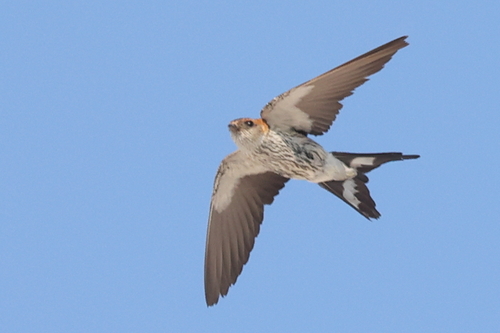
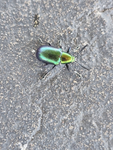
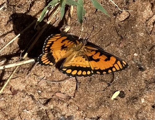
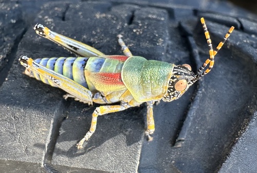
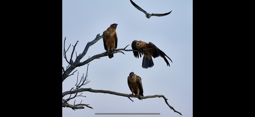
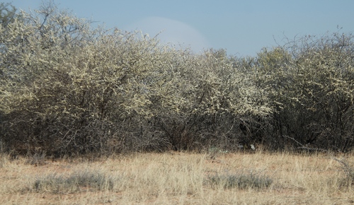
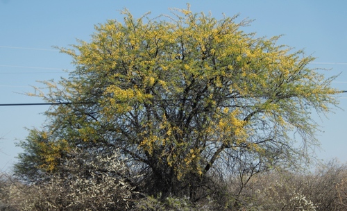
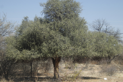
Research-grade observations from iNaturalist (within ~15 mi).
Events
Gallery
Sources
- • Wikipedia
- • Wikidata
- • USGS Earthquake Catalog (global feed)
- • GBIF (Global Biodiversity Information Facility)
- • iNaturalist
- • Open-Meteo / sunrise-sunset.org
- • Wikipedia Pageviews API
- • Wikidata SPARQL (CC0) — population, area, elevation, inception, head of government, Commons image