Browse / Botswana / South East / Mogobane
Mogobane
South Eastvillage
Demographic figures from Statistics Botswana. Overview below cites Wikipedia and may reference a different year.
City facts
Facts from Wikidata (CC0).
Overview
Mogobane is a village in South-East District of Botswana. It is located 55 km south of Gaborone and 40 km east of Kanye. The village is located near the Mogobane Dam, and plans for a waterpark at the dam have been proposed.
Read more on WikipediaHistory & geography
Geography
Coordinates & boundaries from the US Census TIGER/Line shapefiles.
Climate
Air quality
Walkability
Amenities nearby
Wildlife & biodiversity
Earthquake history
Photos
Sights & places nearby
Notable people from here
People born within ~10 km, from Wikidata (CC0). Click any name for their Wikipedia article.
Nearby places in South East
- Cabeço4173.1 mi away
- Saramém4175 mi away
- Carapitanga4178.4 mi away
- Brejão dos Negros4179 mi away
- Bolivar4183.5 mi away
- Serrão4184.8 mi away
- Ladeirinhas B4194.9 mi away
- Pirambu4195 mi away · pop. 7,913
- Areinhas4196.3 mi away
- Canal de São Sebastião4196.3 mi away
- Ladeirinhas A4196.4 mi away
- Catinguinhas4196.5 mi away
Geography & sun
Elevation, sunrise/sunset and daylight from Open-Meteo. Solar climatology from NASA POWER.
Nearby airports
Public attention
Pageview totals from the Wikimedia Pageviews API.
Books about this place
Recent natural events nearby
Ground air-quality sensors
Recently spotted species
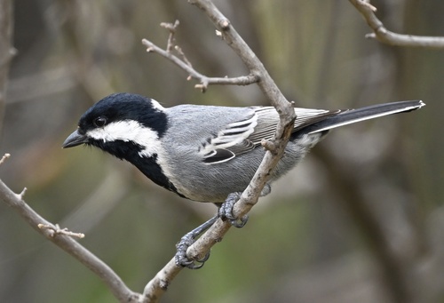
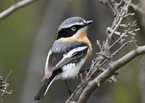
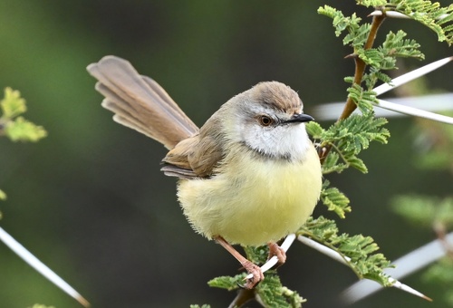
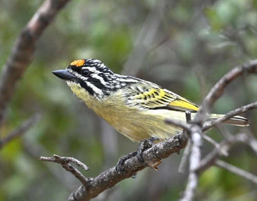
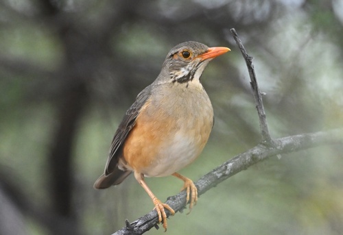
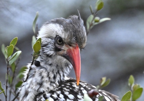
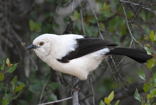
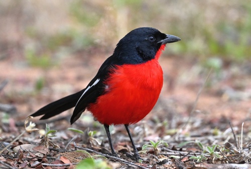
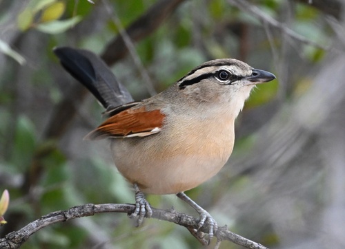
Research-grade observations from iNaturalist (within ~15 mi).
Events
Gallery
Sources
- • Wikipedia
- • Wikidata
- • iNaturalist
- • Open-Meteo / sunrise-sunset.org
- • Wikipedia Pageviews API
- • Wikidata SPARQL (CC0) — population, area, elevation, inception, head of government, Commons image