Browse / Botswana / South East / Otse
Otse
South Eastvillage
Total population
7,636
Demographic figures from Statistics Botswana. Overview below cites Wikipedia and may reference a different year.
City facts
Overview
Otse is a village in the South-East District of Botswana. It is located 60 km south of Gaborone, along the Gaborone–Lobatse road and close to the border with South Africa. This village is home to the Balete people who are related to those in Ramotswa, Gabane and Mogobane. The population was 7,636 in 2011 census. Otse is surrounded by hills, most notably the ancestral Baratani hill.
Read more on WikipediaHistory & geography
Geography
Otse is surrounded by hills, most notably the ancestral Baratani hill.
Excerpted from the corresponding Wikipedia article (CC BY-SA).
Geography
Coordinates & boundaries from the US Census TIGER/Line shapefiles.
Climate
Air quality
Walkability
Amenities nearby
Wildlife & biodiversity
Earthquake history
Photos
Sights & places nearby
Notable people from here
Nearby places in South East
- Cabeço4176.5 mi away
- Saramém4178.5 mi away
- Carapitanga4181.8 mi away
- Brejão dos Negros4182.5 mi away
- Bolivar4186.9 mi away
- Serrão4188.3 mi away
- Ladeirinhas B4198.3 mi away
- Pirambu4198.4 mi away · pop. 7,913
- Areinhas4199.7 mi away
- Canal de São Sebastião4199.7 mi away
- Ladeirinhas A4199.8 mi away
- Ladeiras4201 mi away
Geography & sun
Elevation, sunrise/sunset and daylight from Open-Meteo. Solar climatology from NASA POWER.
Nearby airports
Public attention
Pageview totals from the Wikimedia Pageviews API.
Books about this place
Recent natural events nearby
Ground air-quality sensors
Recently spotted species
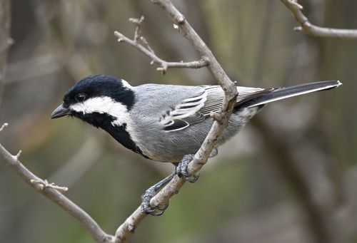
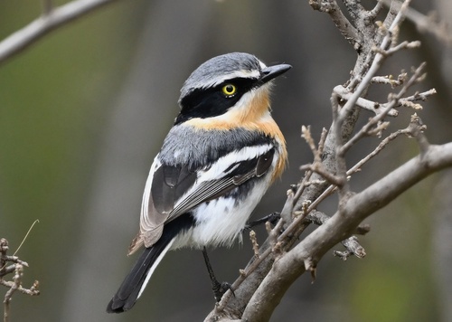
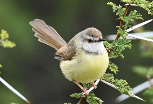
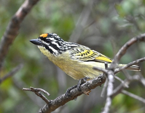
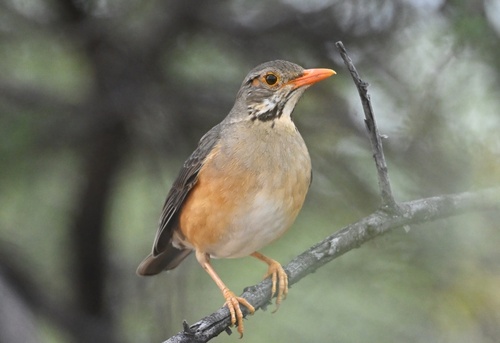
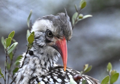
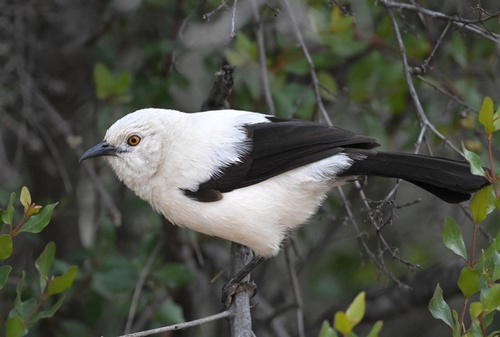
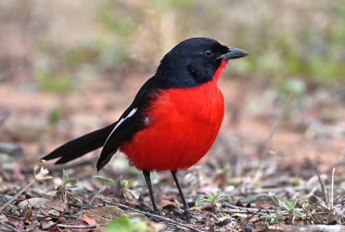
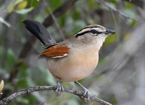
Research-grade observations from iNaturalist (within ~15 mi).
Events
Gallery
Sources
- • Wikipedia
- • iNaturalist
- • Open-Meteo / sunrise-sunset.org
- • Wikipedia Pageviews API
- • Wikidata SPARQL (CC0) — population, area, elevation, inception, head of government, Commons image