Browse / Botswana / Central / Palapye
Palapye
Centraltown

Palapye
Total population
26,000
Demographic figures from Statistics Botswana. Overview below cites Wikipedia and may reference a different year.
City facts
Facts from Wikidata (CC0).
Overview
Palapye is a growing town in Botswana, situated about halfway between Francistown and Gaborone. Over the years its position has made it a convenient stopover on one of Southern Africa's principal north–south rail and road routes.
Read more on WikipediaHistory & geography
History
The Bamangwato people, under Kgosi Khama III, are widely believed to be the first people to have settled near present-day Palapye. Their capital was the settlement of Phalatswe, also called Old Palapye, and was situated at the western end of the Tswapong Hills. Palapye was originally spelled as Phalatswe, which meant the place for impalas. It existed up to 1902, and the ruins of its church, built in 1892, are still to be seen a few kilometres from Palapye's town centre. Chief Khama contributed some 3,000 pounds to its construction and took a keen interest in church affairs. The Bamangwato people's houses were initially clustered around the church, but finding its vicinity too rocky, they moved from Gaborone and away. The name Palapye, formerly rendered as Palachwe or Palapye, refers to the Impala antilope.
Geography
Palapye is situated nearly north of the Tropic of Capricorn, by the Lotsane River, towards the central-eastern edge of Botswana. {| class="wikitable" |- ! Kgotla !! Population |- | Serorome|| 10000 |- | Boikago|| 5000 |- | Madiba|| 6000 |- | Lotsane|| 8000 |- | Thomaditshotse|| 11000 |- | Khurumela|| 13000 |- | Boseja|| 3000 |- | Morupule|| 2000 |- | Mmaphula|| 15000 |- | Rebaeng|| 2500 |- | Kgaswe|| 900 |- | Extension 1|| |- | Extension 2|| |- | Extension 3|| |- | Extension 4|| |- | Extension 5|| |- | Extension 6|| |- | Extension 7|| |- | Extension 8|| |- | Extension 9|| |- | Extension 10|| |- | Extension 11|| |} Summer months are from mid-September to mid-April. Summers are very hot in Palapye, with daytime temperatures reaching up to 40 °C. Thunderstorms are plentiful in the summer. Rainfall levels reach usually a minimum of 300 mm annually. Winters in Palapye are mild and dry.
Excerpted from the corresponding Wikipedia article (CC BY-SA).
Geography
Coordinates & boundaries from the US Census TIGER/Line shapefiles.
Climate
Air quality
Walkability
Amenities nearby
Wildlife & biodiversity
Earthquake history
Photos
Sights & places nearby
Notable people from here

People born within ~10 km, from Wikidata (CC0). Click any name for their Wikipedia article.
Geography & sun
Elevation, sunrise/sunset and daylight from Open-Meteo. Solar climatology from NASA POWER.
Nearby airports
Public attention
Pageview totals from the Wikimedia Pageviews API.
Books about Palapye
Search results from Open Library.
Recent natural events nearby
Ground air-quality sensors
Recently spotted species
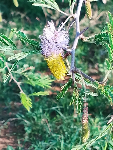
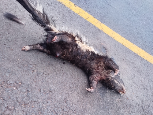
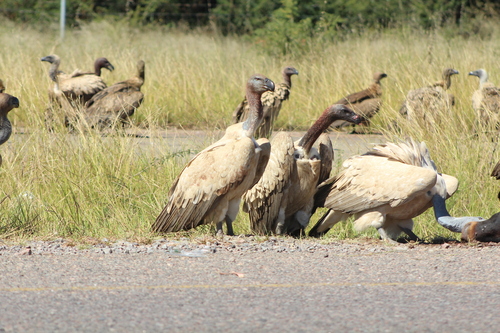
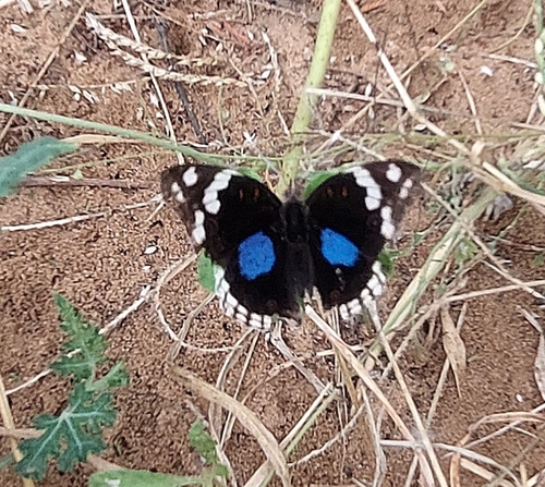
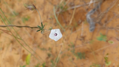
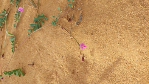
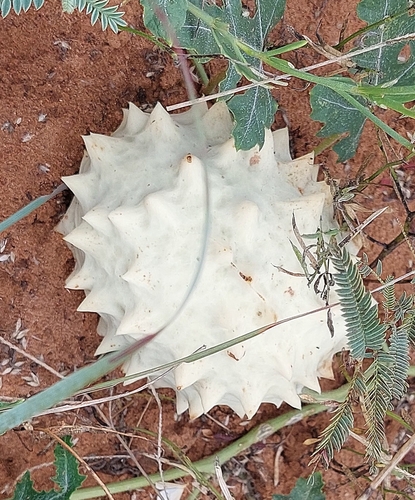
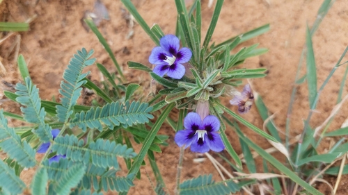
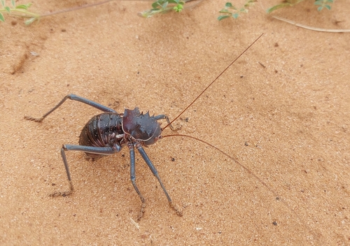
Research-grade observations from iNaturalist (within ~15 mi).
Events
Gallery
Sources
- • Wikipedia
- • Wikidata
- • iNaturalist
- • Open-Meteo / sunrise-sunset.org
- • Wikipedia Pageviews API
- • Open Library
- • Wikidata SPARQL (CC0) — population, area, elevation, inception, head of government, Commons image