Browse / Botswana / Central / Shoshong
Shoshong
Centralvillage

Shoshong
Demographic figures from Statistics Botswana. Overview below cites Wikipedia and may reference a different year.
City facts
Facts from Wikidata (CC0).
Overview
Shoshong is a town in Botswana, formerly the chief settlement of the eastern Bamangwato.
Read more on WikipediaHistory & geography
History
Shoshong was initially inhabited by BaPhaleng, who were later joined by Bakaa, and later BaNgwato under King Sekgoma I. Oral traditions from the village points that the Baphaleng chief invited Bangwato from Mosu where they were continuously harassed and vulnerable to Matebele attacks. The site of Shoshong was chosen as being easily defensible against the Matabele. In 1875, King Sekgoma was overthrown here by his Christian son Khama (later Khama III or Khama the Great). In 1885 (at the time of the declaration of the British protectorate of Bechuanaland) Shoshong had 20,000 to 30,000 inhabitants, including about twenty Europeans. However, by 1898, Phalatswe was also running short of water, and Khama ordered some of his people back to Shoshong. The BaPhaleng returned in 1900 and the Bakaa in 1902, while the capital relocated to Serowe. At the publication of the 1911 Encyclopædia Britannica, Shoshong had a population of about 800. According to Botswana 2022 Population and Housing Census, Preliminary results volume 2, Shoshong has registered a population growth decline of 0.9%. The village has a boarding school, therefore the decline could be attributed to the fact that students were enumerated at their usual place of residence even when they were not present during enumeration. Currently, Shoshong has 8,827 population compared to 9,678 of 2011. In 2012, Kgosi Sediegeng Kgamane's decision to install his son as chief created controversy. Kgamane is described as "a prominent Mongwato royal and uncle to president Ian Khama". Historically Shoshong's chieftainship had been held by three tribes from three different wards of the Bakaa, BaPhaleng and Bagwato simultaneously sitting at the Kgotla to deliberate the issues of the people.
Excerpted from the corresponding Wikipedia article (CC BY-SA).
Geography
Coordinates & boundaries from the US Census TIGER/Line shapefiles.
Climate
Air quality
Walkability
Amenities nearby
Wildlife & biodiversity
Earthquake history
Photos
Sights & places nearby
Notable people from here

People born within ~10 km, from Wikidata (CC0). Click any name for their Wikipedia article.
Geography & sun
Elevation, sunrise/sunset and daylight from Open-Meteo. Solar climatology from NASA POWER.
Nearby airports
Public attention
Pageview totals from the Wikimedia Pageviews API.
Books about Shoshong
Search results from Open Library.
Recent natural events nearby
Ground air-quality sensors
Recently spotted species
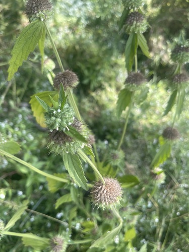
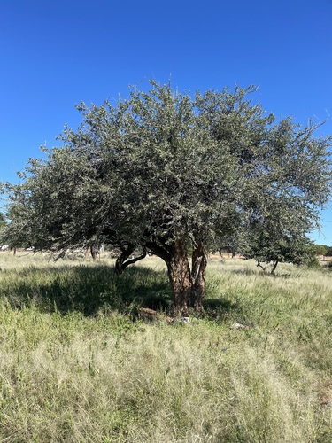
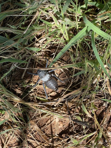
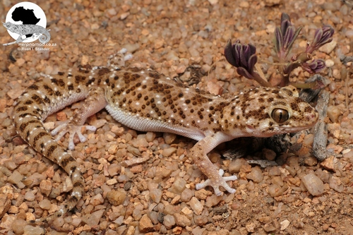
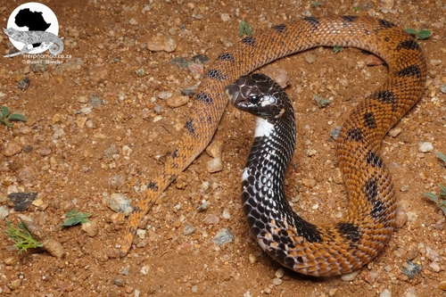
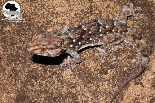
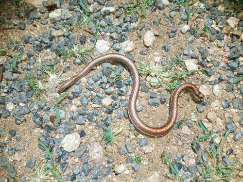
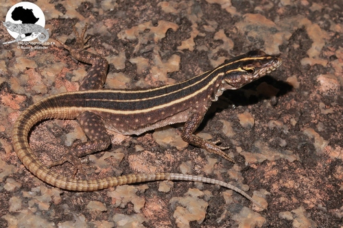
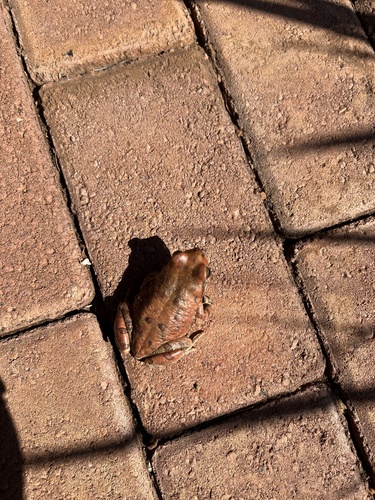
Research-grade observations from iNaturalist (within ~15 mi).
Events
Gallery
Sources
- • Wikipedia
- • Wikidata
- • iNaturalist
- • Open-Meteo / sunrise-sunset.org
- • Wikipedia Pageviews API
- • Open Library
- • Wikidata SPARQL (CC0) — population, area, elevation, inception, head of government, Commons image