Browse / Belize / Belize / Grace Bank
Grace Bank
Belizehamlet

Grace Bank
Total population
32
Demographic figures from Statistical Institute of Belize. Overview below cites Wikipedia and may reference a different year.
City facts
Overview
Grace Bank, formerly Barcadares, is an unincorporated hamlet 33 miles up the Belize River. It was the second settlement founded by the first English settlers of present-day Belize. It was settled in the 1650s, relocated in 1760, and resettled in 1853.
Read more on WikipediaHistory & geography
History
Grace Bank's immediate surroundings were likely first settled by nomadic Paleo-Indians prior to the 8th millennium BC, during the Lithic period in Mesoamerica. Mayan farmers founded permanent settlements in the area by the 2nd millennium BC, during the Archaic period in Mesoamerica. By the 16th century, the region formed part of Dzuluinicob, a Postclassic Mayan state. Sixteenth century residents of the area first became aware of Spaniards in 1502, with the 30 July landing of Christopher Columbus in Guanaja. On 8 December 1526, Francisco de Montejo was named adelantado of the Yucatán Peninsula (including the territory of ). The Spanish conquest reached the area in the third quarter of 1528, during Montejo's southern entrada. Said conquest lasted until the first or second quarter of 1544, upon Melchor and Alonso Pacheco's defeat of Chetumal and , and their subsequent founding of Bacalar. Some or most of the area's surviving residents were (forcibly) relocated to towns closer to Bacalar, and (forcibly) converted to Roman Catholicism. A secular parish was (belatedly) established at Bacalar in 1565 by Pedro de la Costa. In the latter three quarters of 1568, an and by Juan de Garzón and the of Bacalar resulted in the further disintegration of Postclassic Mayan society in the area, thereby cementing Spanish dominion from Bacalar. Bacalar began to lose control over its district in , as were forced to re-establish towns near Tipu in 1615, to conduct a in 1620. In 1638, Tipu led the area into general revolt against Bacalar, resulting in the collapse of Spanish power over the region by 1642, and the relocation of a majority of the area's residents to Tipu. Pirates are first thought to have arrived near Grace Bank in 1617, during a raid of Bacalar by English pirates or…
Geography
Grace Bank is not known to have been settled by Mayans. The area is thought to have formed part of Dzuluinicob from the 10th or 12th century to . It was a part of the or district of Bacalar, in Yucatan, a province of New Spain, until 15 September 1821. It was a part of the English settlement in the Bay of Honduras from the 1650s to 11 February 1862, and thereafter a and part of British Honduras. It is presently part of the Belize District of Belize. Grace Bank lies on the northern bank of the Belize River, near its confluence with Francisco Creek, some eight or nine miles inland (as the crow flies) from the Caribbean Sea. It is 33 miles up the river, past Davis Bank, just before Lime Walk. It lies just south of Jones Lagoon, and west of Potts Creek Lagoon. Grace Bank has a tropical monsoon climate (Köppen climate classification Am), with a MayNovember wet and a DecemberApril dry season.
Excerpted from the corresponding Wikipedia article (CC BY-SA).
Geography
Coordinates & boundaries from the US Census TIGER/Line shapefiles.
Climate
Air quality
Walkability
Amenities nearby
Wildlife & biodiversity
Most-observed species
- Tropical MockingbirdMimus gilvus (Vieillot, 1808) · Aves9,147
- Great-tailed GrackleQuiscalus mexicanus (Gmelin, 1788) · Aves8,867
- Great KiskadeePitangus sulphuratus (Linnaeus, 1766) · Aves7,913
- Social FlycatcherMyiozetetes similis (Spix, 1825) · Aves7,160
- Morelet's SeedeaterSporophila morelleti (Bonaparte, 1850) · Aves6,954
- Tropical KingbirdTyrannus melancholicus Vieillot, 1819 · Aves6,546
- Vermilion FlycatcherPyrocephalus rubinus (Boddaert, 1783) · Aves6,323
- Ruddy Ground-DoveColumbina talpacoti (Temminck, 1810) · Aves6,240
Citizen-science & research observations from the Global Biodiversity Information Facility (GBIF).
Earthquake history
Events from the USGS Earthquake Catalog (global) (FDSN Event Web Service).
Photos
Sights & places nearby
Notable people from here
Nearby places in Belize
- Bazargan7457.4 mi away · pop. 9,000
- Tazeh Shahr7526.3 mi away · pop. 8,629
- Bonab-e-Jadid7562.5 mi away · pop. 4,430
- Khamaneh7562.7 mi away · pop. 3,056
- Parsabad7580 mi away · pop. 81,782
- Tabriz7594.7 mi away · pop. 1,558,693
- Shinabad7614.7 mi away
- Bostanabad7626.7 mi away · pop. 16,592
- Sarab7649.3 mi away · pop. 45,000
- Sareyn7659.7 mi away · pop. 5,459
- Ardabil7663.5 mi away · pop. 482,632
- Shahindezh7672 mi away · pop. 38,396
Geography & sun
Elevation, sunrise/sunset and daylight from Open-Meteo. Solar climatology from NASA POWER.
Nearby airports
Public attention
Pageview totals from the Wikimedia Pageviews API.
Books about Grace Bank

Search results from Open Library.
Recent natural events nearby
Ground air-quality sensors
Recently spotted species
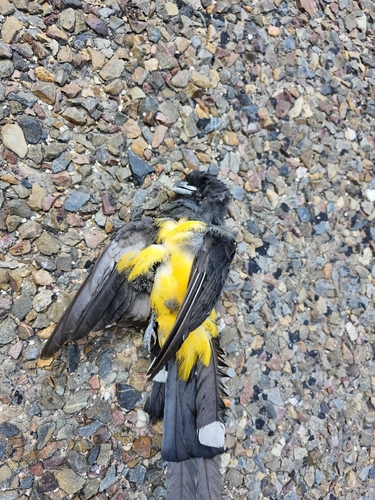
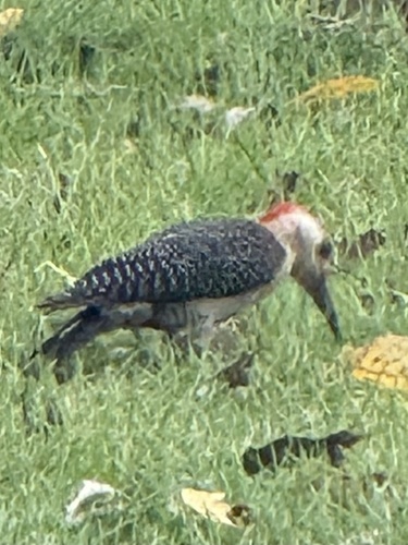
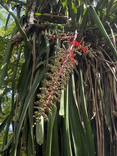
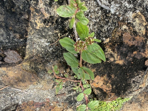
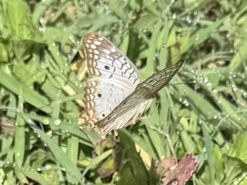
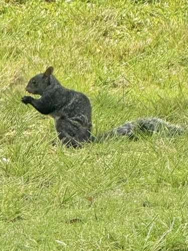
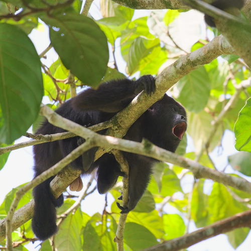
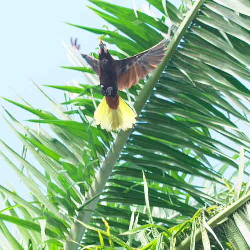
Research-grade observations from iNaturalist (within ~15 mi).
Events
Gallery
Sources
- • Wikipedia
- • USGS Earthquake Catalog (global feed)
- • GBIF (Global Biodiversity Information Facility)
- • iNaturalist
- • Open-Meteo / sunrise-sunset.org
- • Wikipedia Pageviews API
- • Open Library