Browse / Canada / Alberta / Aden
Aden
Albertahamlet
Demographic figures from Statistics Canada. Overview below cites Wikipedia and may reference a different year.
City facts
Facts from Wikidata (CC0).
Overview
Situated in Alberta, Canada, Aden is a hamlet. Its coordinates of 49.025°, -111.299° place it in the temperate zone of the northern hemisphere. Detailed population figures are not currently catalogued in the open data sources we track. The latitude suggests four distinct seasons with warm summers and cold winters. Open solar datasets indicate about 1,422 kWh/m² of solar irradiance per year, combined with sunshine for roughly 56% of daylight hours. Continue scrolling for population, climate, environmental and points-of-interest data drawn from public sources.
Summary composed automatically from structured open data on this page. See our Terms for details.
History & geography
History
Aden is an ancient port and was mentioned by the Greeks under the name (), which means an Arabic trade port. The port's convenient position on the sea route between India and Europe has made Aden desirable to rulers who sought to possess it at various times throughout history. Known as Eudaemon (, meaning "blissful, prosperous") in the 1st century BC, it was a transshipping point for the Red Sea trade, but fell on hard times when new shipping practices by-passed it and made the daring direct crossing to India in the 1st century AD, according to the Periplus of the Erythraean Sea. The same work describes Aden as "a village by the shore", which would well describe the town of Crater while it was still little developed. There is no mention of fortification at this stage. Aden was more an island than a peninsula, as the isthmus (a tombolo) was not then so developed as it is today. Aden was explicitly mentioned by this name in the Book of Ezekiel, which talks about Jerusalem, and it says:"The merchants of Sheba and Raamah are your merchants. They set up your markets with the finest perfumes and every precious stone and gold. Harran, Qena, and Aden are the merchants of Sheba, and Assyria and Kilmud are your merchants."At its beginning, the city was a small peninsula with no significant natural resources, but its location between Egypt and India made it important in the ancient Indian Ocean trade route. The city was the home of the ancient Kingdom of Awsan from the eighth to seventh centuries BC. In the beginning of the seventh century BC, Karibʾil Watar I, king of the Kingdom of Sheba, launched a campaign against Awsan during which, according to the Sabaean texts, sixteen thousand people were killed, forty thousand people were enslaved, and the kings of Awsan made offerings…
Geography
Aden is located on the coast of the Gulf of Aden, and is about 363 kilometres from the capital, Sanaa. It is located between latitudes 47 and 12 north of the equator, and at an altitude of 6 metres above sea level. It is surrounded by Lahj Governorate to the north and east, and the Governorate of Abyan is to the northwest. Aden has an airport (Aden International Airport), a seaport (the port of Aden), and has land routes from the north linking it to Hajj, Abyan and Taiz. Aden is a coastal city; it overlooks the Gulf of Aden, which opens to the Indian Ocean. The shape of the city of Aden in the form of two peninsulas helped this factor to make the city of Aden unique in this particularity, which clearly affected the occurrence of the phenomenon of land and sea breezes. Which occurs due to air exchange between land and water during the day and night. Its location on the water surface also affects the daily and annual temperature range. This does not mean that there are no significant differences in temperatures in summer and winter. The surface of the city of Aden slopes south, and the highlands appear in the southern part of Aden, represented by the highlands of Jabal Shamsan, whose highest peaks exceed 500 metres, and the highlands of Jabal Ihsan and Jabal Al-Muzalqim in Little Aden, which are lower in height than Jabal Shamsan, and the highlands of Aden do not differ from the rest of the highlands of Yemen in terms of In terms of composition, it is of volcanic origin, and although the mountain highlands occupy large areas of the city, their influence is weak and limited on the climate of the city of Aden. Aden has a hot desert climate (BWh) in the Köppen-Geiger climate classification system. Although Aden sees next-to-no precipitation year-round, it is humid…
Excerpted from the corresponding Wikipedia article (CC BY-SA).
Geography
Coordinates & boundaries from the US Census TIGER/Line shapefiles.
Climate
Air quality
Walkability
Amenities nearby
Wildlife & biodiversity
Most-observed species
- Western MeadowlarkSturnella neglecta Audubon, 1844 · Aves53
- Swainson's HawkButeo swainsoni Bonaparte, 1838 · Aves40
- Vesper SparrowPooecetes gramineus (J.F.Gmelin, 1789) · Aves40
- Ferruginous HawkButeo regalis (G.R.Gray, 1844) · Aves38
- Horned LarkEremophila alpestris (Linnaeus, 1758) · Aves36
- Golden EagleAquila chrysaetos (Linnaeus, 1758) · Aves31
- Mourning DoveZenaida macroura (Linnaeus, 1758) · Aves30
- Black-billed MagpiePica hudsonia (Sabine, 1823) · Aves28
Citizen-science & research observations from the Global Biodiversity Information Facility (GBIF).
Earthquake history
Most recent
- M 2.7 — 2024-04-1017 km NNW of Santa Rita, Montana
- M 3.1 — 2018-10-2226 km NNW of Santa Rita, Montana
- M 2.8 — 2015-11-1813 km NNW of Santa Rita, Montana
- M 3.4 — 2014-09-0736 km SSE of Magrath, Canada
- M 3.1 — 2014-04-0213 km NNW of Conrad, Montana
- M 2.5 — 2013-02-2528 km WSW of Chester, Montana
Events from the USGS Earthquake Catalog (global) (FDSN Event Web Service).
Photos
Sights & places nearby
Notable people from here
Nearby places in Alberta
- Rosedale Hutterite Colony22 mi away
- Pendant d’Oreille23 mi away
- Starbrite Hutterite Colony23.3 mi away
- River Road Hutterite Colony25 mi away
- Baker Hutterite Colony26.1 mi away
- Sunrise Hutterite Colony27.1 mi away
- Gold Spring Hutterite Colony27.4 mi away
- Coutts30.2 mi away
- Miltow Hutterite Colony31.7 mi away
- Kings Lake Hutterite Colony31.9 mi away
- Etzikom32.4 mi away
- Mayfield Hutterite Colony35 mi away
Geography & sun
Elevation, sunrise/sunset and daylight from Open-Meteo. Solar climatology from NASA POWER.
Nearby airports
Public attention
Pageview totals from the Wikimedia Pageviews API.
Books about Aden

Search results from Open Library.
Recent natural events nearby
- Wildfire Middle Coulee, Chouteau, MontanaWildfires · 2026-08-02 · 90 mi
- Wildfire Camp Creek, Powell, MontanaWildfires · 2026-08-21 · 138 mi
- Wildfire Ant Park, Meagher, MontanaWildfires · 2026-07-31 · 161 mi
- Wildfire Skillet, Lincoln, MontanaWildfires · 2026-07-29 · 167 mi
- Wildfire Deer Creek, Lincoln, MontanaWildfires · 2026-08-20 · 183 mi
- Wildfire Black Bear, Ravalli, MontanaWildfires · 2026-08-01 · 231 mi
- Wildfire Moose, Granite, MontanaWildfires · 2026-07-26 · 232 mi
- Wildfire Nature Grove, Ravalli, MontanaWildfires · 2026-08-23 · 233 mi
Wildfires, storms and other events from NASA EONET (last 12 months, within 250 mi).
Ground air-quality sensors
Recently spotted species
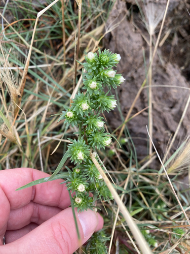
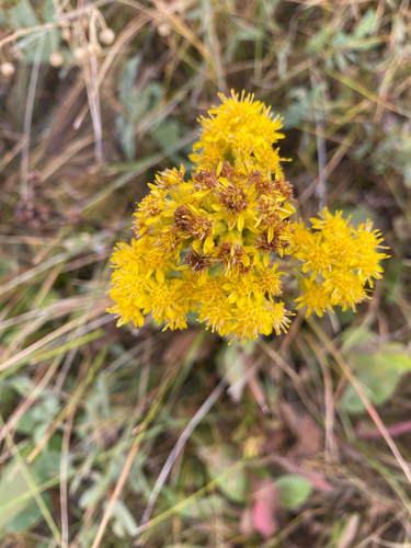
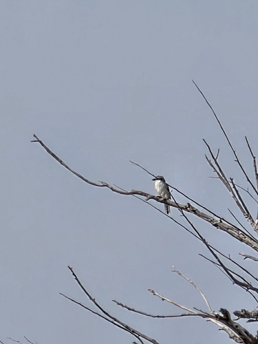
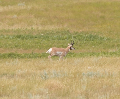
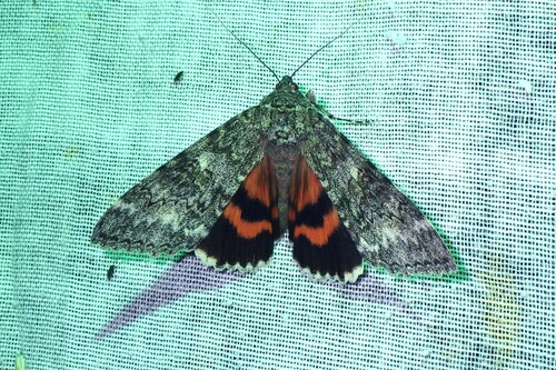
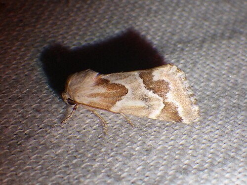
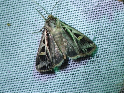

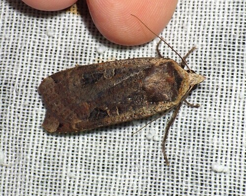
Research-grade observations from iNaturalist (within ~15 mi).
Events
Gallery
Sources
- • Wikipedia
- • Wikidata
- • USGS Earthquake Catalog (global feed)
- • GBIF (Global Biodiversity Information Facility)
- • iNaturalist
- • Open-Meteo / sunrise-sunset.org
- • Wikipedia Pageviews API
- • Open Library
- • NASA EONET