Browse / Canada / Alberta / Airdrie
Airdrie
Albertacity

Airdrie
Total population
54,891
Founded
1899
Demographic figures from Statistics Canada. Overview below cites Wikipedia and may reference a different year.
City facts
Facts from Wikidata (CC0).
Overview
Airdrie is a city in Alberta, Canada, located north of Calgary within the Calgary–Edmonton Corridor at the intersection of Queen Elizabeth II Highway and Highway 567. The city is part of the Calgary census metropolitan area and is surrounded by Rocky View County. Airdrie has a population of around 93,957 people, making it the fifth largest city in Alberta, after Calgary, Edmonton, Lethbridge, and Red Deer.
Read more on WikipediaHistory & geography
History
Airdrie was first established in 1889 during the construction of the Calgary and Edmonton Railway, named for Airdrie, Scotland. Airdrie originated as a whistle stop for trains next to Nose Creek, allowing for easy replenishment of water for steam locomotives. Only railway buildings existed until 1901, when the first farmhouse and barn were built followed by a post office and store in that same year. The village of Airdrie was incorporated in 1909.
Geography
The annexation of 12,640 acres of land by Airdrie from Rocky View County in 2012 is designed to accommodate anticipated growth until 2062. Airdrie's southern and Calgary's northern city boundaries are within a few kilometres of each other. Airdrie is divided into four civic addressing quadrants. As of 2023, the City of Airdrie recognized the following neighbourhoods, not including rural and annexation land. * Airdrie Meadows * Bayside/Baysprings/Bayview * Big Springs * Buffalo Rub * Canals * Chinook Gate * Cobblestone Creek * Coopers Crossing * Davy Creek * Downtown * East Lake Industrial * Edgewater * Edmonton Trail * Fairways * Gateway Commercial * Highland * Hillcrest * Jensen * Key Ranch * King's Heights * Lanark * Luxstone * Meadowbrook * Midtown * Morningside * Old Town * Prairie Springs * Ravenswood * Reunion * Reynolds * Ridgegate * Sagewood * Sawgrass Park * Sierra Springs Commercial * Silver Creek * South Pointe Commercial * Southwinds * Stonegate * Summerhill * Sun Ridge * The Village * Thorburn * Vantage Rise * Waterstone * Wildflower * Williamstown * Willow Brook * Windsong * Woodside * Yankee Valley Crossing * Yankee Valley Estates
Excerpted from the corresponding Wikipedia article (CC BY-SA).
Geography
Coordinates & boundaries from the US Census TIGER/Line shapefiles.
Climate
Air quality
Walkability
Amenities nearby
Wildlife & biodiversity
Most-observed species
- Black-billed MagpiePica hudsonia (Sabine, 1823) · Aves7,975
- House SparrowPasser domesticus (Linnaeus, 1758) · Aves6,481
- MallardAnas platyrhynchos Linnaeus, 1758 · Aves4,594
- House FinchHaemorhous mexicanus (P.L.Statius Müller, 1776) · Aves4,381
- Black-capped ChickadeePoecile atricapillus (Linnaeus, 1766) · Aves4,221
- Northern FlickerColaptes auratus (Linnaeus, 1758) · Aves3,764
- American RobinTurdus migratorius Linnaeus, 1766 · Aves3,735
- American CrowCorvus brachyrhynchos C.L.Brehm, 1822 · Aves3,453
Citizen-science & research observations from the Global Biodiversity Information Facility (GBIF).
Earthquake history
Most recent
- M 3.6 — 2002-07-2829 km SSE of Canmore, Canada
Events from the USGS Earthquake Catalog (global) (FDSN Event Web Service).
Photos
Sights & places nearby
Notable people from here


People born within ~10 km, from Wikidata (CC0). Click any name for their Wikipedia article.
Nearby places in Alberta
- CrossIron5.8 mi away
- Fairview Hutterite Colony11.3 mi away
- Delacour13.8 mi away
- Kathyrn14 mi away
- Madden15.4 mi away
- Beiseker Hutterite Colony15.8 mi away
- Neudorf Hutterite Colony16 mi away
- Keoma16.3 mi away
- Mountain View Hutterite Colony23.3 mi away
- Sandhills Hutterite Colony27.7 mi away
- Cheadle27.8 mi away · pop. 300
- Redwood Meadows29.6 mi away
Geography & sun
Elevation, sunrise/sunset and daylight from Open-Meteo. Solar climatology from NASA POWER.
Nearby airports
Public attention
Pageview totals from the Wikimedia Pageviews API.
Books about Airdrie


Search results from Open Library.
Recent natural events nearby
- Wildfire Skillet, Lincoln, MontanaWildfires · 2026-07-29 · 197 mi
- Wildfire Parker Lake, Boundary, IdahoWildfires · 2026-08-23 · 203 mi
- Wildfire Silver, Boundary, IdahoWildfires · 2026-08-23 · 218 mi
- Wildfire Deer Creek, Lincoln, MontanaWildfires · 2026-08-20 · 221 mi
Wildfires, storms and other events from NASA EONET (last 12 months, within 250 mi).
Ground air-quality sensors
Recently spotted species
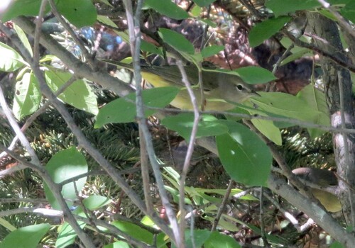
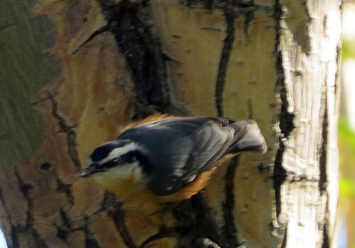
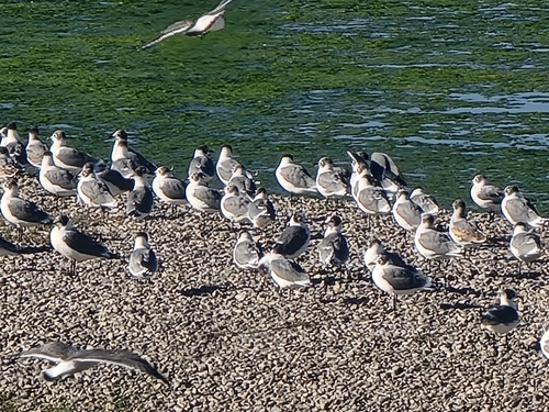
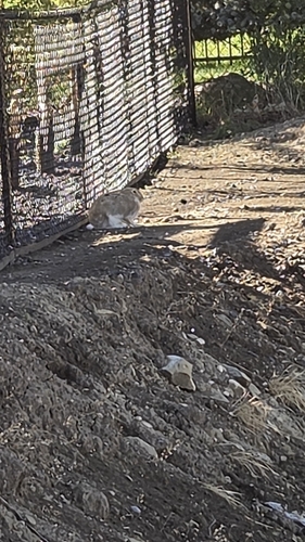
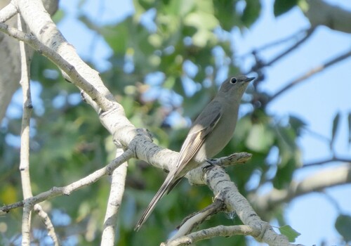
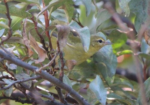
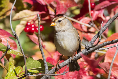
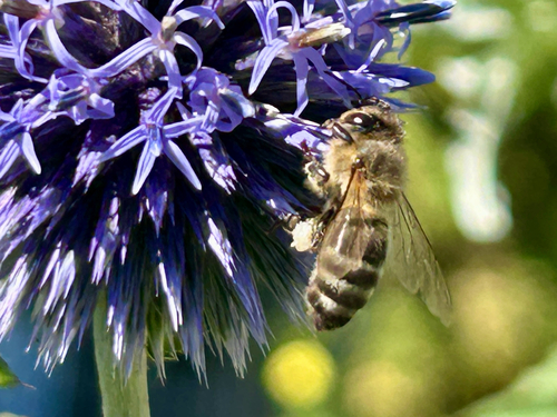
Research-grade observations from iNaturalist (within ~15 mi).
Events
Gallery
Official Identifiers
StatCan — Statistics Canada
- SGC code
- 4806021
- Population (Wikidata)
- 61,581
- Wikidata
- Q408537
Standard Geographical Classification (SGC) via Wikidata P3012
Sources
- • Wikipedia
- • Wikidata
- • USGS Earthquake Catalog (global feed)
- • GBIF (Global Biodiversity Information Facility)
- • iNaturalist
- • Open-Meteo / sunrise-sunset.org
- • Wikipedia Pageviews API
- • Open Library
- • NASA EONET
- • StatCan — Statistics Canada — Standard Geographical Classification (SGC) via Wikidata P3012