Browse / United States / California / Alamo
Alamo
CaliforniaCDP

Alamo
Total population
14,488
Median home value
$2,000,001
Bachelor's+
Median income
$250,001
Air quality index
Demographic figures from US Census Bureau · ACS 5-year estimates. Overview below cites Wikipedia and may reference a different year.
- Heat Advisory · ModerateHeat Advisory issued October 1 at 9:43AM PDT until October 4 at 10:00PM PDT by NWS San Francisco CA
Source: NOAA National Weather Service.
City facts
Facts from Wikidata (CC0).
Overview
Alamo is an unincorporated community and census-designated place (CDP) in Contra Costa County, California, United States. It is a suburb located in the San Francisco Bay Area's East Bay region, approximately 28 miles (45 km) east of San Francisco. Alamo is equidistant from the city of Walnut Creek and the incorporated town of Danville. As of the 2020 census, the population was 15,314.
Read more on WikipediaHistory & geography
History
Alamo was first inhabited by the Tatcan Indians over 5000 years ago. The Tatcan Indians, a Bay Miwok tribe closely connected to the Saclans of Walnut Creek, lived in Alamo in the eighteenth century. After Mission San José was founded in 1797, its grazing area stretched throughout the San Ramon Valley. The Mexican land grant Rancho San Ramon was deeded to Mariano Castro and his uncle Bartolo Pacheco in 1833. It covered modern-day Danville and Alamo. Castro owned the northern half, which included Alamo. In 1843 much of the Alamo, Las Trampas and Tice Valley areas were granted to brothers Inocencio and José Romero. It was called Rancho El Sobrante de San Ramon. Because of missing title papers, the brothers lost their ranch in American courts in 1857. Pioneers Mary Ann and John Jones traveled through Alamo in 1847. She provided the earliest English description of the area in her diary. Her husband stopped the wagon saying, "Mary, look! Did you ever see anything so beautiful?" She wrote later: On every side, the valley and surrounding hills were covered with thick, velvety clover, and with wild oats standing waist high waving and rippling in the summer breeze, like the bosom of a lake. The Jones family returned to Alamo in 1851, after California had become a state. John became the first postmaster in 1852 and she applied her considerable energies to schooling children and beginning a Cumberland Presbyterian church. Other early Alamo founders included David Glass, George Engelmeyer, Silas and Susanna Stone, Captain Wall, Joshua Bollinger, and James Foster. The area was named Alamo, which comes from the Spanish word álamo, meaning "poplar" or "cottonwood." Alamo was named after the Alamo Mission in San Antonio. Because of its location and climate, Alamo grew quickly. An…
Geography
Alamo is located in Contra Costa County, at the northern end of the -long San Ramon Valley between two Coast Ranges − the Las Trampas Ridge to the west and the Diablo Range to the east. The city of San Ramon and the town of Danville are also located in this valley. Just to the north of Alamo lies the city of Walnut Creek. San Francisco and San Jose lie to the west and to the south, respectively. A few miles to the east of Alamo stands the -tall Mount Diablo. According to the United States Census Bureau, the CDP has a total area of , all land. Alamo experiences a warm-summer Mediterranean climate with hot, dry summers and cool, rainy winters. Summer high temperatures are hot, but due to the high degree of seasonal diurnal temperature variation, the mean temperature remains low enough to qualify as a warm-summer Mediterranean climate, staying below . Temperatures occasionally reach or higher in the warmest months, and frost occurs on some clear mornings during the coldest months. There are, on average 42 days per annum with at least of rain (days when it is considered useful to carry an umbrella). During cold winter storms, snow can fall on top of nearby Mount Diablo, but very seldom falls in the Valley. Located at the corner of Danville Blvd. & Jackson Way, this 1 acre park is named in memory of Alamo resident Andrew H. Young, who served as chairman of the county Planning Commission in 1980. Located at the corner of Livorna Road & Miranda Avenue, this 4.4-acre neighborhood park features a large open-air gazebo, a bocce ball court, a multi-use sports court, playground structures, large play areas, drinking fountain, restrooms, two barbecue areas, ample grassed area and off-street parking. The park typically hosts a children's Easter egg hunt each year on Easter…
Excerpted from the corresponding Wikipedia article (CC BY-SA).
Demographics & economy
Race & ethnicity
Source: US Census Bureau — American Community Survey, 5-year estimates.
Geography
Coordinates & boundaries from the US Census TIGER/Line shapefiles.
Climate
Current forecast
Forecast for Alamo, CA from NOAA NWS API.
Air quality
Current readings from Open-Meteo Air Quality API (Copernicus CAMS European reanalysis).
Industrial & pollution facilities
Natural hazard risk
Health (adults)
Walkability
Amenities nearby
Wildlife & biodiversity
Most-observed species
- Anna's HummingbirdCalypte anna (R.Lesson, 1829) · Aves42,120
- California/Woodhouse's Scrub-JayAphelocoma californica (Vigors, 1839) · Aves35,967
- House FinchHaemorhous mexicanus (P.L.Statius Müller, 1776) · Aves35,500
- Dark-eyed JuncoJunco hyemalis (Linnaeus, 1758) · Aves32,617
- California TowheeMelozone crissalis (Vigors, 1839) · Aves32,424
- Lesser GoldfinchSpinus psaltria (Say, 1822) · Aves32,103
- Oak TitmouseBaeolophus inornatus (Gambel, 1845) · Aves31,831
- American CrowCorvus brachyrhynchos C.L.Brehm, 1822 · Aves31,582
Citizen-science & research observations from the Global Biodiversity Information Facility (GBIF).
Schools
Earthquake history
Most recent
- M 2.5 — 2026-09-1910 km ENE of Milpitas, CA
- M 2.62 — 2026-09-1721 km E of Alum Rock, CA
- M 2.67 — 2026-09-163 km ESE of Santa Rosa, CA
- M 2.99 — 2026-09-149 km SW of Brentwood, CA
- M 2.55 — 2026-09-139 km SW of Brentwood, CA
- M 3.36 — 2026-09-129 km SW of Brentwood, CA
Events from the USGS Earthquake Catalog (global) (FDSN Event Web Service).
Photos
Sights & places nearby
Notable people from here


People born within ~10 km, from Wikidata (CC0). Click any name for their Wikipedia article.
Nearby places in California
- North Gate3.6 mi away
- Contra Costa Centre5.4 mi away · pop. 6,893
- Moraga6 mi away
- Norris Canyon7.7 mi away
- Camino Tassajara8.3 mi away
- Orinda8.7 mi away
- Pacheco9.7 mi away
- Alhambra Valley10.2 mi away · pop. 979
- Piedmont12 mi away
- Fairview12.4 mi away · pop. 10,745
- Port Costa16.1 mi away
- East Richmond Heights17.5 mi away
Geography & sun
Elevation, sunrise/sunset and daylight from Open-Meteo. Solar climatology from NASA POWER.
Nearby airports
Public attention
Pageview totals from the Wikimedia Pageviews API.
Books about Alamo



Search results from Open Library.
Recent natural events nearby
- Wildfire GANN, Calaveras, CaliforniaWildfires · 2026-08-03 · 70 mi
- Wildfire FELIZ, Mendocino, CaliforniaWildfires · 2026-08-01 · 100 mi
- Wildfire LUCAS, Lake, CaliforniaWildfires · 2026-09-10 · 109 mi
- Wildfire LUCAS, Lake, CaliforniaWildfires · 2026-09-10 · 109 mi
- Wildfire Timber, Monterey, CaliforniaWildfires · 2026-08-09 · 114 mi
- Wildfire DOME, Mariposa, CaliforniaWildfires · 2026-09-15 · 133 mi
- Wildfire Plaskett, Monterey, CaliforniaWildfires · 2026-08-26 · 139 mi
- Wildfire FLORISTON, Nevada, CaliforniaWildfires · 2026-09-16 · 151 mi
Wildfires, storms and other events from NASA EONET (last 12 months, within 250 mi).
Ground air-quality sensors
Recently spotted species
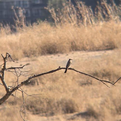
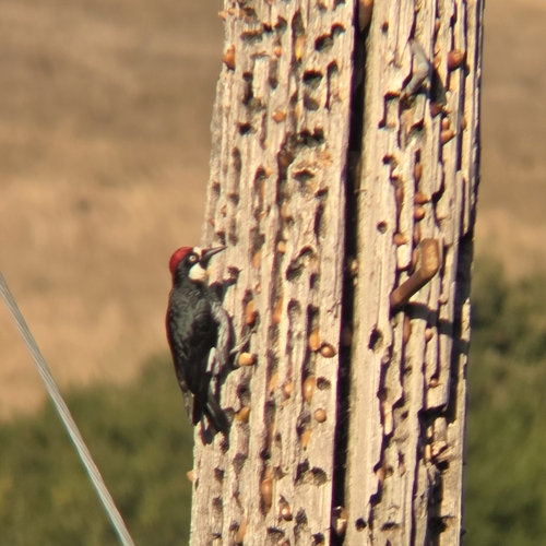
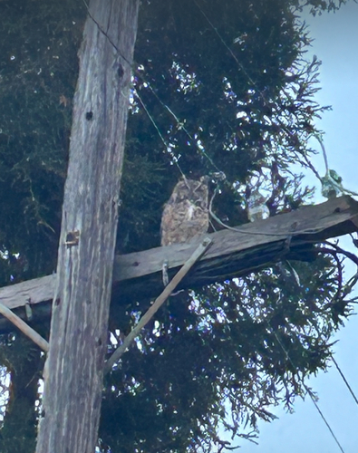
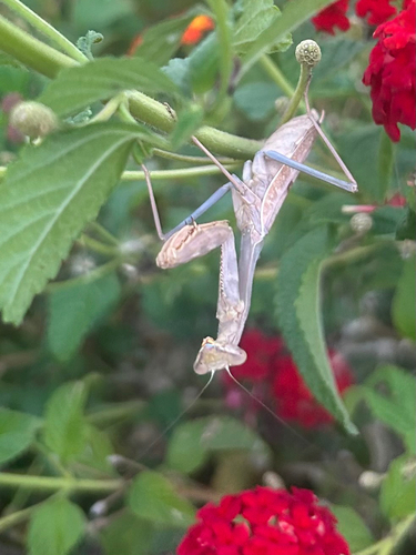
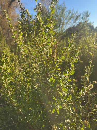
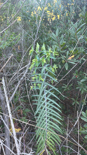
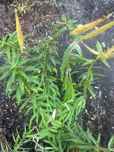
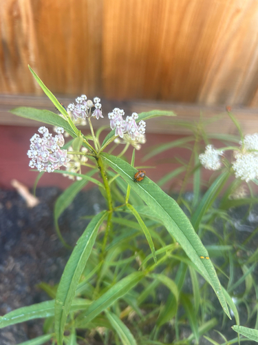
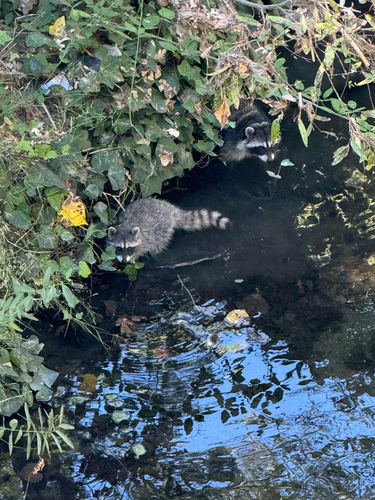
Research-grade observations from iNaturalist (within ~15 mi).
Nearest stream gauge
Events
Gallery
Geotagged photos within ~6 miles of Alamo, from Wikimedia Commons contributors.
 0.3 mi
 0.9 mi
.jpg) 0.9 mi
0.9 mi.jpg) 1 mi
1 mi.jpg) 1 mi
1 mi_(5749249001).jpg) 1 mi
1 mi_-_Flickr_-_John-Morgan.jpg) 1 mi
1 mi.jpg) 1 mi
1 mi 1.1 mi
 1.1 mi
 1.1 mi
 1.1 mi
 1.1 mi
 1.1 mi
 1.1 mi
 1.1 mi
 1.2 mi
 1.2 mi
 1.3 mi
 1.3 mi
 1.3 mi
 1.4 mi
 1.4 mi
.jpg) 1.5 mi
1.5 miPhotos via Wikimedia Commons — see each image page for license & attribution.
Sources
- • Wikipedia
- • US Census Bureau (ACS 5-year estimates)
- • NOAA National Weather Service
- • Wikimedia Commons
- • Wikidata
- • Open-Meteo Air Quality (CAMS)
- • USGS Earthquake Catalog (global feed)
- • GBIF (Global Biodiversity Information Facility)
- • iNaturalist
- • Open-Meteo / sunrise-sunset.org
- • Wikipedia Pageviews API
- • Open Library
- • NASA EONET