Browse / Canada / Ontario / Alma
Alma
Ontariovillage
Demographic figures from Statistics Canada. Overview below cites Wikipedia and may reference a different year.
City facts
Facts from Wikidata (CC0).
Overview
Set in Ontario, Canada, Alma is recorded in open geodata as a village. Detailed population figures are not currently catalogued in the open data sources we track. On the world map it falls within the Western Hemisphere, specifically at 43.730°, -80.502°. Based on its temperate position, residents likely encounter four distinct seasons with warm summers and cold winters. Additional figures on demographics, climate, geography and points of interest appear in the sections that follow, all drawn from open public datasets.
Summary composed automatically from structured open data on this page. See our Terms for details.
History & geography
History
The settlement, known as Salmon River Settlement, began in earnest as the lumbering trade took root with the exchange of land-grant title, and construction of a sawmill on the Upper Salmon River by its new owners. Prior to this, Loyalist John Coffin, who held the land grant, caused frustration for would-be settlers because of his absence. Thus began the most vibrant period in the community's history. The Parish of Alma was created surrounding the community in 1856, commemorating the then-recent Battle of Alma during the Crimean War. The Village municipality incorporated in 1966 following sweeping changes that disbanded county councils. 18 years earlier, the federal government had expropriated land in the village and parish west of the Upper Salmon River for the creation of Fundy National Park. Many homes were relocated east of the river as lumber barons gave way to the new land managers, the Parks Canada Agency. In addition to tourism related to the park, lobster and scallop fishing are an important industry based out of Alma's tidal harbour. On 1 January 2023, Alma was amalgamated with the villages of Hillsborough and Riverside-Albert and parts of nine local service districts to form the municipal area called Fundy Albert. "Alma" continues to be the name of the former Village of Alma community.
Excerpted from the corresponding Wikipedia article (CC BY-SA).
Geography
Coordinates & boundaries from the US Census TIGER/Line shapefiles.
Climate
Air quality
Walkability
Amenities nearby
Wildlife & biodiversity
Earthquake history
Photos
Sights & places nearby
Notable people from here


People born within ~10 km, from Wikidata (CC0). Click any name for their Wikipedia article.
Nearby places in Ontario
Geography & sun
Nearby airports
Public attention
Books about this place
Recent natural events nearby
Ground air-quality sensors
Recently spotted species
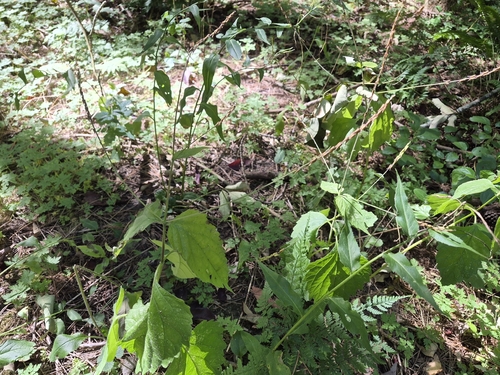
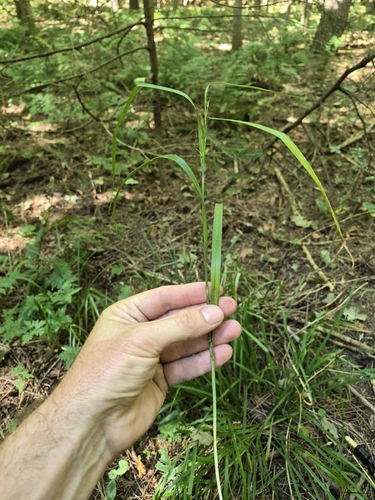
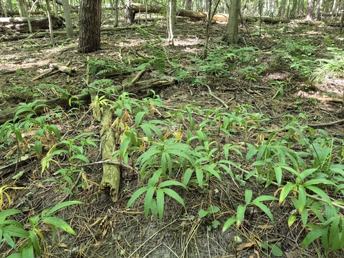
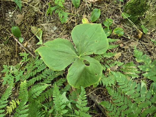
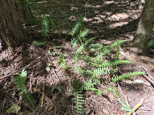
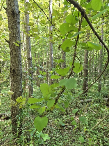
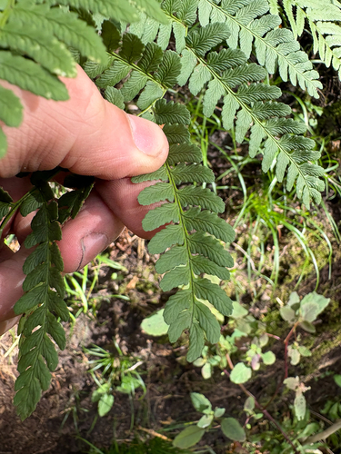
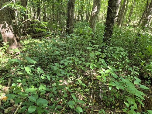
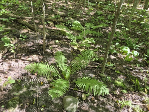
Research-grade observations from iNaturalist (within ~15 mi).
Events
Gallery
Sources
- • Wikipedia
- • Wikidata
- • iNaturalist