Browse / Canada / Alberta / Amesbury
Amesbury
Albertavillage
Demographic figures from Statistics Canada. Overview below cites Wikipedia and may reference a different year.
City facts
Facts from Wikidata (CC0).
Overview
Situated in Alberta, Canada, Amesbury is a village. Its coordinates of 55.082°, -112.497° place it in the cool-temperate zone of the northern hemisphere. No reliable population estimate is published for this entry in the open data we rely on. Open solar datasets indicate about 1,157 kWh/m² of solar irradiance per year, combined with sunshine for roughly 45% of daylight hours. Its latitude implies a climate characterised by long cool seasons and short, mild summers. Additional figures on demographics, climate, geography and points of interest appear in the sections that follow, all drawn from open public datasets.
Summary composed automatically from structured open data on this page. See our Terms for details.
History & geography
History
The land around Amesbury has been settled since prehistoric times, evidenced by the monument of Stonehenge. In 2014, archaeologists from the University of Buckingham found Amesbury had been continually occupied since 8,820BC, causing The Guardian to write that Amesbury was "in effect where British history began". Other finds in the parish point to large-scale prehistoric structures and settlements in the area, including Bluestonehenge at West Amesbury, the numerous other monuments around Stonehenge, and the discovery of a Neolithic village in the neighbouring parish of Durrington by the Stonehenge Riverside Project. Excavations in 2002 and 2003 at Boscombe Down by Wessex Archaeology found the Amesbury Archer and Boscombe Bowmen. It is likely that there was a large Romano-British settlement overlooking the River Avon at this point. It is possible that an order of monks established a monastery in the area, that was destroyed by the Saxons before they settled the area in the 7th century. King Alfred the Great left Amesbury in his will, a copy of which is in the British Library, to his youngest son Aethelweard (–922). In 1086, Domesday Book recorded a settlement named Amblesberie or Ambresberie with 111 households and eight mills. The largest estate was held by Wilton Abbey, and other land was held by Edward of Salisbury. In 979 AD, a Benedictine abbey, the Abbey of St Mary and St Melor, was founded on what may have been the site of a previous monastery, by Dowager Queen Ælfthryth. In 1177 the abbey was dissolved by Henry II Henry III visited the priory several times, and his widow Eleanor of Provence retired there in 1286, leading to visits by her son, Edward I; his daughter Mary of Woodstock and niece Eleanor of Brittany had already entered the convent when…
Geography
Amesbury is located in southern Wiltshire, north-northeast of Salisbury on the A345. It sits in the River Avon valley on the southern fringes of Salisbury Plain and has historically been considered an important river crossing area on the road from London to Warminster and Exeter. This has continued into the present with the building of the A303 road across the Avon next to the town. Originally the town developed around the water meadows next to several bends in the river, but in time has spread onto the valley hillsides and absorbed part of the military airfield at Boscombe Down.
Excerpted from the corresponding Wikipedia article (CC BY-SA).
Geography
Coordinates & boundaries from the US Census TIGER/Line shapefiles.
Climate
Air quality
Walkability
Amenities nearby
Wildlife & biodiversity
Most-observed species
- Common RavenCorvus corax Linnaeus, 1758 · Aves30
- Bald EagleHaliaeetus leucocephalus (Linnaeus, 1766) · Aves22
- Red-eyed VireoVireo olivaceus (Linnaeus, 1766) · Aves19
- American CrowCorvus brachyrhynchos C.L.Brehm, 1822 · Aves18
- Red-winged BlackbirdAgelaius phoeniceus (Linnaeus, 1766) · Aves17
- American RobinTurdus migratorius Linnaeus, 1766 · Aves15
- Red-tailed HawkButeo jamaicensis (Gmelin, 1788) · Aves14
- Canada Goose (canadensis Group)Branta canadensis (Linnaeus, 1758) · Aves14
Citizen-science & research observations from the Global Biodiversity Information Facility (GBIF).
Earthquake history
Events from the USGS Earthquake Catalog (global) (FDSN Event Web Service).
Photos
Sights & places nearby
Notable people from here
Nearby places in Alberta
Geography & sun
Elevation, sunrise/sunset and daylight from Open-Meteo. Solar climatology from NASA POWER.
Nearby airports
Public attention
Pageview totals from the Wikimedia Pageviews API.
Books about this place
Recent natural events nearby
Ground air-quality sensors
Recently spotted species
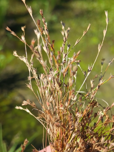
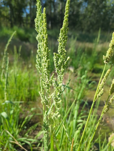
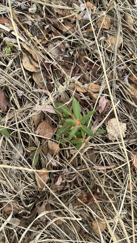
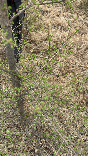


Research-grade observations from iNaturalist (within ~15 mi).
Events
Gallery
Sources
- • Wikipedia
- • Wikidata
- • USGS Earthquake Catalog (global feed)
- • GBIF (Global Biodiversity Information Facility)
- • iNaturalist
- • Open-Meteo / sunrise-sunset.org
- • Wikipedia Pageviews API