Browse / Canada / Quebec / Amqui
Amqui
Quebectown

Amqui
Total population
5,999
Founded
1906
Demographic figures from Statistics Canada. Overview below cites Wikipedia and may reference a different year.
City facts
Facts from Wikidata (CC0).
Overview
Amqui is a town in eastern Quebec, Canada, at the base of the Gaspé peninsula in Bas-Saint-Laurent. Located at the confluence of the Humqui and Matapédia Rivers, it is the seat of La Matapédia Regional County Municipality. The main access road is Quebec Route 132.
Read more on WikipediaHistory & geography
History
Originally Mi'kmaq territory, the area was granted as a seignory by Louis de Buade de Frontenac to Charles-Nicolas-Joseph D'Amours in 1694. D'Amours died in 1728 and none of his descendants claimed the rights to the seigneury. So it remained a remote and undeveloped land until the 19th century. In 1830 construction began on the Kempt Road, a strategic military road between Quebec and the Maritimes, completed in 1833, that opened the area to colonization. But it was the construction of the Intercolonial Railway in the 1870s that brought real development. In 1879, the post office opened under the name Amqui. In 1881, the Mission of Saint-Benoît-Joseph-Labre was established, named after Benedict Joseph Labre. By 1884, the town became known as a great destination for salmon and trout fishing. In 1889, the mission became a parish and the following year it was incorporated as the Parish Municipality of Saint-Benoît-Joseph-Labre.
Geography
Amqui is located to the south of the Saint Lawrence River in the Matapédia Valley, which was formed by the Chic-Choc Mountains. The valley is of glacial origin and was formed during the Paleozoic era millions of years ago. The region is characterized by gentle slopes through which the Matapédia river snakes from the northwest to the southeast. The city is located at the confluence of the Humqui and Matapédia rivers. The city is situated 415 km northeast of Quebec City, 345 km west of Gaspé and 80 km north of New Brunswick. Neighbouring urban centres include Rimouski and Mont-Joli, at 105 km and 70 km to the west, respectively, and Matane, 65 km to the north. Amqui is located 25 km east of Sayabec and 20 km northwest of Causapscal, the two largest municipalities of La Matapédia after Amqui. The city borders Saint-Vianney and Saint-Tharcisius to the north, Saint-Alexandre-des-Lacs to the east, Lac-au-Saumon and Saint-Léon-le-Grand to the south, as well as Sainte-Irène and Val-Brillant to the west. The Couturval hamlet is part of Amqui. Amqui has a humid continental climate (Dfb). Being surrounded by the Chic-Chocs creates unique climatic conditions in the region: a long and snowy winter and a hot and humid summer.
Excerpted from the corresponding Wikipedia article (CC BY-SA).
Geography
Coordinates & boundaries from the US Census TIGER/Line shapefiles.
Climate
Air quality
Walkability
Amenities nearby
Wildlife & biodiversity
Earthquake history
Photos
Sights & places nearby
Notable people from here


People born within ~10 km, from Wikidata (CC0). Click any name for their Wikipedia article.
Nearby places in Quebec
- Saint-Luc-de-Matane22.9 mi away
- Petit-Matane27.8 mi away
- Les Méchins42.1 mi away
- Sainte-Luce-sur-Mer44 mi away
- Saint-Narcisse-de-Rimouski47.7 mi away
- Sainte-Blandine47.7 mi away
- Sainte-Odile-sur-Rimouski50.6 mi away
- Nouvelle56.4 mi away
- Les Buissons61.7 mi away
- Chute-aux-Outardes63.2 mi away
- Carleton-sur-Mer65.6 mi away · pop. 4,081
- Saint-Fabien67 mi away
Geography & sun
Elevation, sunrise/sunset and daylight from Open-Meteo. Solar climatology from NASA POWER.
Nearby airports
Public attention
Pageview totals from the Wikimedia Pageviews API.
Books about Amqui
Search results from Open Library.
Recent natural events nearby
Ground air-quality sensors
Recently spotted species
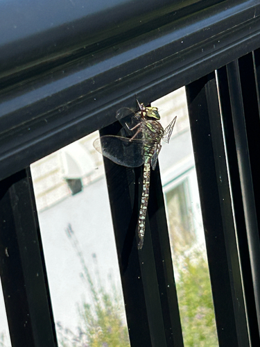
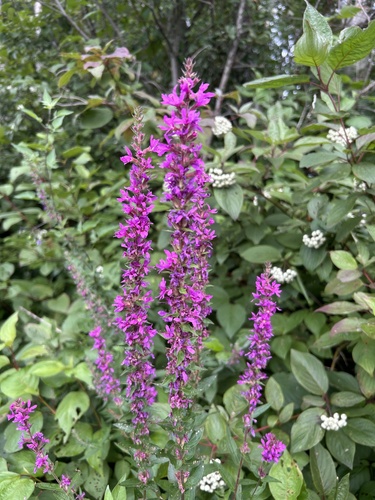
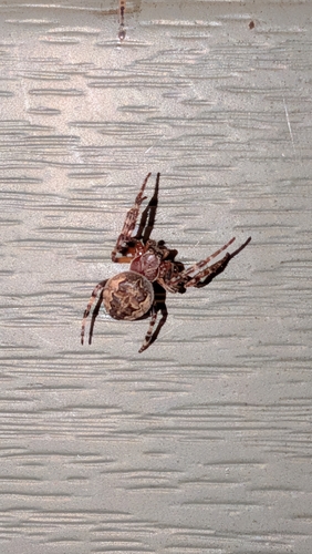
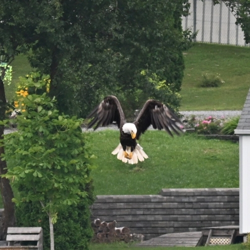
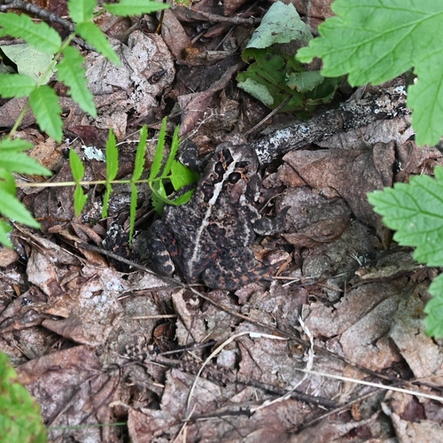
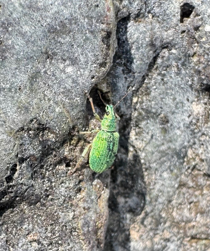
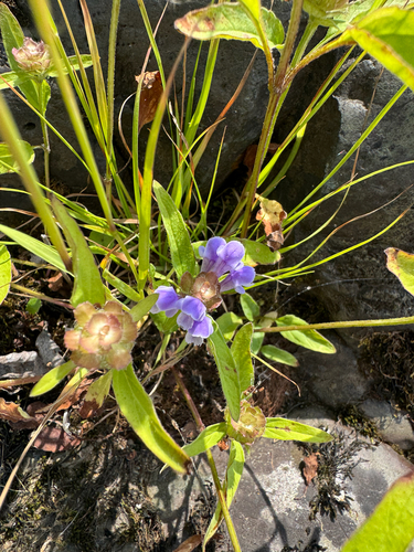
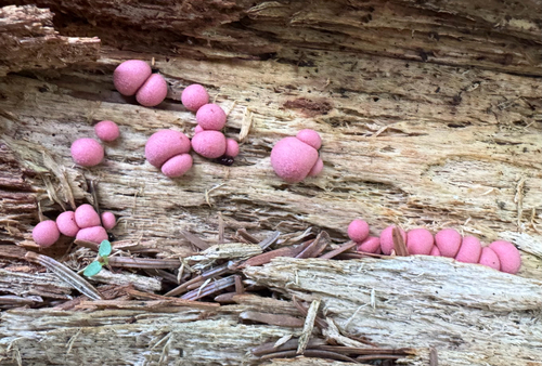
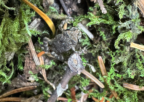
Research-grade observations from iNaturalist (within ~15 mi).
Events
Gallery
Official Identifiers
StatCan — Statistics Canada
- SGC code
- 2407047
- Population (Wikidata)
- 5,999
- Wikidata
- Q139714
Standard Geographical Classification (SGC) via Wikidata P3012
Sources
- • Wikipedia
- • Wikidata
- • iNaturalist
- • Open-Meteo / sunrise-sunset.org
- • Wikipedia Pageviews API
- • Open Library
- • StatCan — Statistics Canada — Standard Geographical Classification (SGC) via Wikidata P3012