Browse / Canada / Newfoundland and Labrador / Anchor Point
Anchor Point
Newfoundland and Labradortown

Anchor Point
Total population
314
Demographic figures from Statistics Canada. Overview below cites Wikipedia and may reference a different year.
City facts
Overview
Anchor Point is a town located in St. Barbe Bay, south of Flower's Cove on the west side of the Great Northern Peninsula, in Newfoundland and Labrador, Canada. It was the first English settlement on what is called the 'French Shore' of Newfoundland.
Read more on WikipediaHistory & geography
History
Anchor Point was first settled by Robert Bartlett, a British seaman, and his nephew Robert Genge, both from Yeovil, Somerset, England in 1740. They used the cove as a base for fishing and fur hunting from Anchor Point to Bartlett's Harbour in the late 18th century. Robert Bartlett eventually returned to England while Robert Genge was joined by his brother Abram, who employed men from England seasonally to sell his furs and fish to American vessels. Trapping, salmon fishing and sealing were very important industries of Anchor Point in the 19th century. His descendant, William Genge, was the first Waymaster in 1885. By the 1850s, Anchor Point was established as a commercial center for fur trading and fishing on the St. Barbe coast. The land around Anchor Point was also very productive with excellent pasture which led to extensive cultivation of the land and the raising of livestock. In 1848, an English Bishop visited the Northern Peninsula. It was at this time that the first cemetery on the Strait of Belle Isle was consecrated in Anchor Point. By 1849, a schoolhouse was built. However, because of its isolation, Anchor Point had difficulty retaining teachers. Therefore, from the 1850s to the 1950s, educational facilities remained relatively poor. By 1960, there was a larger elementary school and high school available in neighbouring Flower's Cove so that students could be bused to it. By the 1970s, all students attended school there. Also in the 1970s, the first Anglican church at Anchor Point was built. Seal hunting, salmon fishing and fur trapping would eventually become less profitable. By the 1920s, cod, lobster and herring fishing had become increasingly important. The population grew steadily from 51 people in 1911, 160 people in 1951, 208 in 1956, and 329 by…
Excerpted from the corresponding Wikipedia article (CC BY-SA).
Geography
Coordinates & boundaries from the US Census TIGER/Line shapefiles.
Climate
Air quality
Walkability
Amenities nearby
Wildlife & biodiversity
Earthquake history
Photos
Sights & places nearby
Notable people from here
Nearby places in Newfoundland and Labrador
- Pigeon Cove2.4 mi away
- Forresters Point3.9 mi away
- Flower's Cove4.9 mi away · pop. 270
- Pond Cove7.2 mi away
- Pond Cove8 mi away
- Brig Bay13.3 mi away
- Brig Bay14 mi away
- L'Anse-au-Clair17.7 mi away · pop. 216
- Bartletts Harbour22.6 mi away
- Capstan Island23.1 mi away
- Eddies Cove West37.5 mi away
- Red Bay37.7 mi away
Geography & sun
Elevation, sunrise/sunset and daylight from Open-Meteo. Solar climatology from NASA POWER.
Nearby airports
Public attention
Pageview totals from the Wikimedia Pageviews API.
Books about this place
Recent natural events nearby
Ground air-quality sensors
Recently spotted species
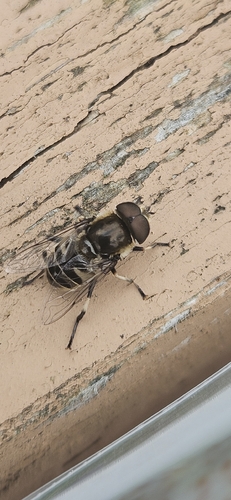
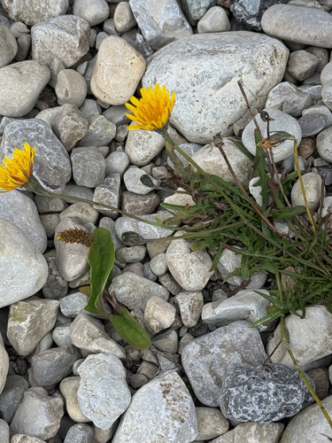
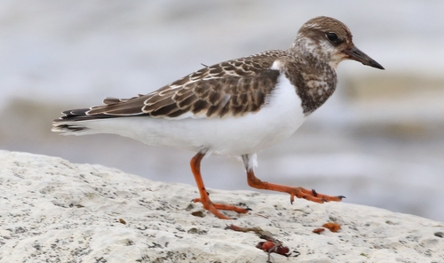
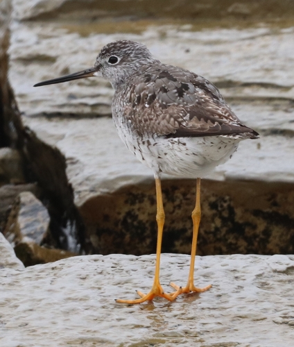
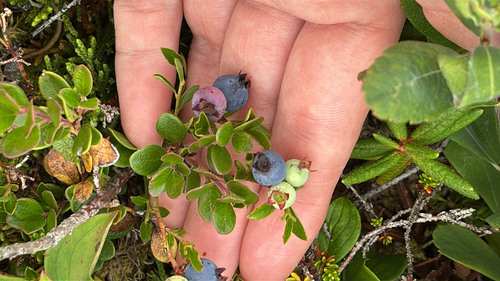
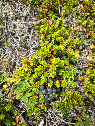
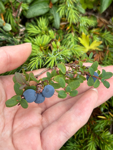
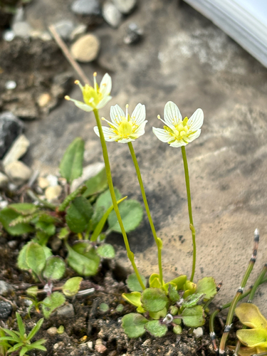
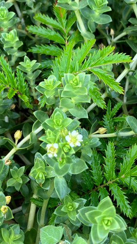
Research-grade observations from iNaturalist (within ~15 mi).
Events
Gallery
Official Identifiers
StatCan — Statistics Canada
- SGC code
- 1009023
- Population (Wikidata)
- 309
- Wikidata
- Q2845747
Standard Geographical Classification (SGC) via Wikidata P3012
Sources
- • Wikipedia
- • iNaturalist
- • Open-Meteo / sunrise-sunset.org
- • Wikipedia Pageviews API
- • StatCan — Statistics Canada — Standard Geographical Classification (SGC) via Wikidata P3012