Browse / United States / California / Angwin
Angwin
CaliforniaCDP

Angwin
Total population
2,931
Median home value
$708,100
Bachelor's+
Median income
$117,500
Founded
1874
Demographic figures from US Census Bureau · ACS 5-year estimates. Overview below cites Wikipedia and may reference a different year.
City facts
Facts from Wikidata (CC0).
Overview
Angwin is a census-designated place (CDP) in Napa County, California, United States, best known as the site of Pacific Union College. It is part of the northern San Francisco Bay Area. The population was 2,633 at the 2020 census. Its area code is 707. Its two ZIP codes are 94508 and 94576. It is in the Pacific time zone.
Read more on WikipediaHistory & geography
History
The town of Angwin is named for Edwin Angwin (1841–1919), a native of St. Agnes, Cornwall, who in 1875 purchased a parcel within the Rancho La Jota on Howell Mountain and established the Angwin Resort. By the 1900s, Mr. Angwin owned almost of land in the area. Prior to 1875, Rancho La Jota was held in its entirety by William Campbell Watson, husband of Elizabeth Anne Davis, the granddaughter of George C. Yount. Mr. Watson began to sell off portions of the Rancho in 1875, Mr. Angwin's being among the first parcels. Soon after a community began to emerge with the success of, and in support of, the Angwin Resort. In 1909, Healdsburg College (formerly Healdsburg Academy), a Seventh-day Adventist college, moved from its location in Healdsburg when it purchased the Angwin Resort for $60,000 to open Pacific Union College. According to a 1985 KRON-TV news report, more than 80 percent of the population of Angwin belonged to the Seventh-day Adventist Church. In August 2020, Angwin was evacuated due to the Hennessey Fire.
Geography
According to the United States Census Bureau, the CDP has a total area of , of which 99.14% is land and 0.86% is water. Angwin is located within the Howell Mountain AVA. Angwin's Pacific Union College has maintained a National Weather Service cooperative weather station since 1940. Average January temperatures are a maximum of and a minimum of . There are an average of 35.3 days with highs of or higher and 25.1 days with lows of or lower. The record high temperature was on July 15, 1972. The record low temperature was on December 9, 1972. Average annual precipitation is . The wettest year was 1983 with and the driest year was 2020 with . The most precipitation in one month was in January 2017. The most precipitation in 24 hours was on October 24, 2021. Average annual snowfall is . The most snow in one year was in 1952, including in January.
Excerpted from the corresponding Wikipedia article (CC BY-SA).
Demographics & economy
Race & ethnicity
Source: US Census Bureau — American Community Survey, 5-year estimates.
Geography
Coordinates & boundaries from the US Census TIGER/Line shapefiles.
Climate
Current forecast
Forecast for Angwin, CA from NOAA NWS API.
Air quality
Industrial & pollution facilities
Natural hazard risk
Health (adults)
Walkability
Amenities nearby
Wildlife & biodiversity
Schools
Earthquake history
Photos
Sights & places nearby
Notable people from here


People born within ~10 km, from Wikidata (CC0). Click any name for their Wikipedia article.
Geography & sun
Elevation, sunrise/sunset and daylight from Open-Meteo. Solar climatology from NASA POWER.
Nearby airports
Public attention
Pageview totals from the Wikimedia Pageviews API.
Books about Angwin
Search results from Open Library.
Recent natural events nearby
- Wildfire FELIZ, Mendocino, CaliforniaWildfires · 2026-08-01 · 48 mi
- Wildfire LUCAS, Lake, CaliforniaWildfires · 2026-09-10 · 54 mi
- Wildfire LUCAS, Lake, CaliforniaWildfires · 2026-09-10 · 54 mi
- Wildfire GANN, Calaveras, CaliforniaWildfires · 2026-08-03 · 96 mi
- Wildfire FLORISTON, Nevada, CaliforniaWildfires · 2026-09-16 · 142 mi
- Wildfire Hawk, Washoe, NevadaWildfires · 2026-08-22 · 150 mi
- Wildfire Hawk, Washoe, NevadaWildfires · 2026-08-22 · 150 mi
- Wildfire Bug, Lassen, CaliforniaWildfires · 2026-08-08 · 152 mi
Wildfires, storms and other events from NASA EONET (last 12 months, within 250 mi).
Ground air-quality sensors
Recently spotted species
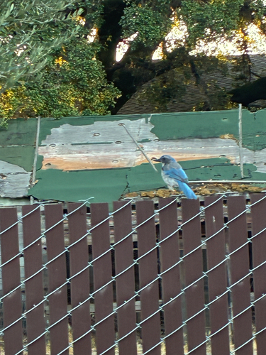
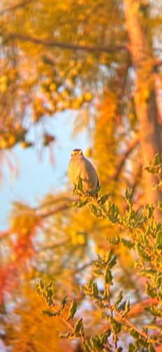
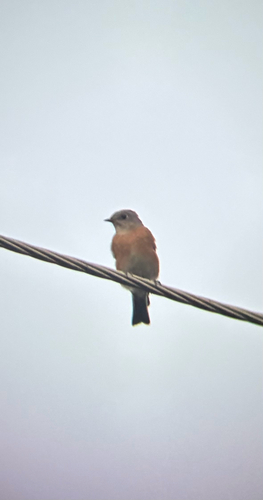
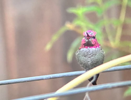
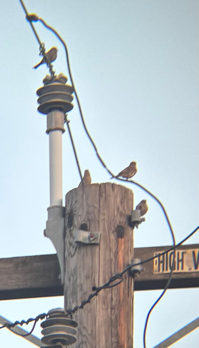
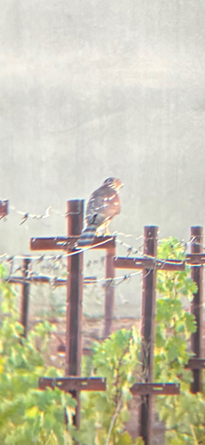
Research-grade observations from iNaturalist (within ~15 mi).
Nearest stream gauge
Events
Gallery
Sources
- • Wikipedia
- • US Census Bureau (ACS 5-year estimates)
- • NOAA National Weather Service
- • Wikidata
- • iNaturalist
- • Open-Meteo / sunrise-sunset.org
- • Wikipedia Pageviews API
- • Open Library
- • NASA EONET