Browse / Canada / Manitoba / Anola
Anola
Manitobavillage

Anola
Demographic figures from Statistics Canada. Overview below cites Wikipedia and may reference a different year.
City facts
Facts from Wikidata (CC0).
Overview
Anola is an unincorporated community in the Canadian province of Manitoba. It is located 24 kilometres east of Winnipeg and 40 kilometres north of Steinbach in the Rural Municipality of Springfield. The community has a population of approximately 200 people.
Read more on WikipediaHistory & geography
History
The Anola area is part of the traditional territory of Anishnaabe and Swampy Cree First Nations. In 1870, the area became part of the new province of Manitoba. In 1871, the area was covered under Treaty 1 between the British Crown and the First Nations. The treaty facilitated the settlement of southern Manitoba including agricultural settlements in the Anola area. In 1907, when the Grand Trunk Pacific Railway expressed an interest in the district, the land was sold, and the village of Free Port was born. The name changed in 1912 to Anola. According to the Department of the Interior, the name Anola is an "invented name," and the place was formerly known as Richland Post Office. A 1905 letter from M. Holloway, who ran the Richland Post Office which served the area, may have prompted this conclusion. In his correspondence to the Geographic Board of Canada, it was indicated that residents were unaware of why it was so named except "as a more convenient means of referring to it than Township 10-7E."
Excerpted from the corresponding Wikipedia article (CC BY-SA).
Geography
Coordinates & boundaries from the US Census TIGER/Line shapefiles.
Climate
Air quality
Walkability
Amenities nearby
Wildlife & biodiversity
Earthquake history
Photos
Sights & places nearby
Notable people from here


People born within ~10 km, from Wikidata (CC0). Click any name for their Wikipedia article.
Geography & sun
Nearby airports
Public attention
Books about this place
Recent natural events nearby
Ground air-quality sensors
Recently spotted species
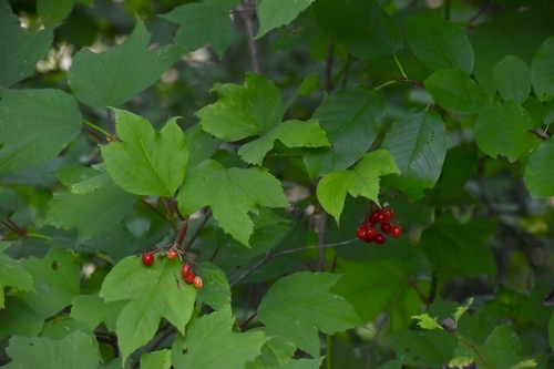
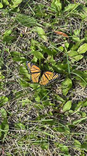
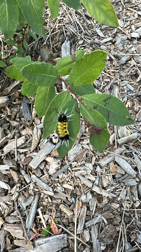
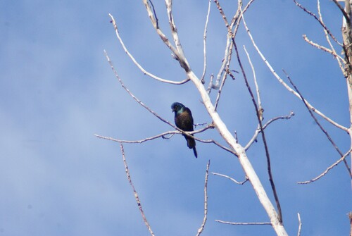
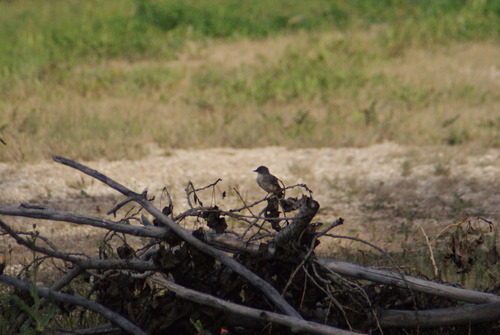
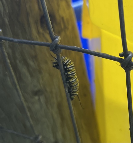
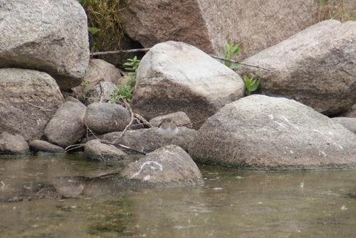
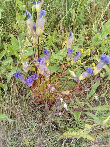
Research-grade observations from iNaturalist (within ~15 mi).
Events
Gallery
Sources
- • Wikipedia
- • Wikidata
- • iNaturalist