Browse / United States / California / Antelope
Antelope
CaliforniaCDP

Antelope
Total population
48,301
Median home value
$489,800
Bachelor's+
Median income
$99,067
Demographic figures from US Census Bureau · ACS 5-year estimates. Overview below cites Wikipedia and may reference a different year.
- Heat Advisory · ModerateHeat Advisory issued October 1 at 9:34AM PDT until October 5 at 10:00PM PDT by NWS Sacramento CA
Source: NOAA National Weather Service.
City facts
Facts from Wikidata (CC0).
Overview
Antelope is a census-designated place in Sacramento County, California, United States located approximately 15 miles (24 km) northeast of downtown Sacramento and 5 miles (8 km) southwest of Roseville. The population was 48,733 at the 2020 census.
Read more on WikipediaHistory & geography
History
In the late 1800s, Antelope was the only significant settlement in the Center Township, an area bounded on the North by the Placer county line, on the East by what is now Sunrise Blvd., on the South by the American River, and on the West by the line along 20th St in Rio Linda south to Ethan Way in the Arden-Arcade area. The population of the entire township in 1880 was about 400 people. Many of the railroad workers made their homes here and eventually stayed permanently. Gradually, workers left the area and Antelope became just another small community with little business. On April 28, 1973, Antelope consisted of a post office, general store and a half-dozen homes. However, at 8:03 a.m., a rail car loaded with aircraft bombs exploded in the southern part of the Southern Pacific's Roseville Yard, destroying the general store and damaging most of the homes. This event changed Antelope forever - it basically was blown away. What is known as Antelope today mostly began as a planned community in the late 1980s. It consisted of mainly single-family homes and apartments. Due to the relative newness of the community, most homes are new and the area is well planned out. The proposed and ultimate closure of nearby McClellan Air Force Base between the years 1993-2001 did have a slowing-down economic impact upon this area (the “North Watt Avenue corridor”). Antelope received its own postmark and recognition as a community by the U.S. Postal Service on 1 July 1994.
Geography
According to the United States Census Bureau, the community has a total area of , all land. Antelope is mostly flat, with very few hills and no major bodies of water. The northern border of Antelope falls directly onto the line between Sacramento and Placer counties. The eastern border first follows Roseville Road south from the county line to Butternut Drive, then continues in the same general direction to Antelope Road, so that parcels on Adagio Way, Andante Drive and Katella Way are within Antelope CDP. The southern border follows Antelope Road. The western border has two parts. The first part extends from Antelope Road northwards toward Elverta Road along 28th St. The second part extends from Elverta Road towards the Placer County line, along Dry Creek. The boundaries were drawn and the town name established by a vote in 1993 to establish the community's identity. The Antelope town designation began July 1, 1994. The ZIP code for Antelope: 95843
Excerpted from the corresponding Wikipedia article (CC BY-SA).
Demographics & economy
Race & ethnicity
Source: US Census Bureau — American Community Survey, 5-year estimates.
Geography
Coordinates & boundaries from the US Census TIGER/Line shapefiles.
Climate
Current forecast
Forecast for Antelope, CA from NOAA NWS API.
Air quality
Industrial & pollution facilities
Natural hazard risk
Health (adults)
Age-adjusted prevalence estimates from CDC PLACES (latest release).
Walkability
Amenities nearby
Wildlife & biodiversity
Most-observed species
- California/Woodhouse's Scrub-JayAphelocoma californica (Vigors, 1839) · Aves37,462
- Mourning DoveZenaida macroura (Linnaeus, 1758) · Aves36,034
- House FinchHaemorhous mexicanus (P.L.Statius Müller, 1776) · Aves35,380
- Anna's HummingbirdCalypte anna (R.Lesson, 1829) · Aves34,083
- Black PhoebeSayornis nigricans (Swainson, 1827) · Aves31,733
- Oak TitmouseBaeolophus inornatus (Gambel, 1845) · Aves30,110
- Lesser GoldfinchSpinus psaltria (Say, 1822) · Aves28,226
- Canada Goose (canadensis Group)Branta canadensis (Linnaeus, 1758) · Aves27,392
Citizen-science & research observations from the Global Biodiversity Information Facility (GBIF).
Schools
Largest nearby schools
- Highlands Community CharterOther · Sacramento · 6,749 students · 71:1 ratio
- Visions In EducationOther · Carmichael · 6,591 students · 25.9:1 ratio
- Inderkum HighHigh · Sacramento · 2,266 students · 24.9:1 ratio
- California Innovative Career AcademyOther · Sacramento · 2,202 students · 41.5:1 ratio
- Grant Union HighHigh · Sacramento · 2,040 students · 21.5:1 ratio
- Cordova HighHigh · Rancho Cordova · 1,931 students · 20.1:1 ratio
- Bella Vista HighHigh · Fair Oaks · 1,924 students · 24.7:1 ratio
- Rio Americano HighHigh · Sacramento · 1,884 students · 24.8:1 ratio
Public K–12 schools within ~10 mi from Urban Institute Education Data Portal (NCES Common Core of Data, 2022).
Earthquake history
Most recent
- M 2.51 — 2026-09-295 km W of Yountville, CA
- M 2.61 — 2026-08-0412 km SE of Middletown, CA
- M 2.53 — 2026-07-070 km NNW of Angwin, CA
- M 3.62 — 2026-07-070 km W of Angwin, CA
- M 2.64 — 2026-04-292 km NW of Granite Bay, CA
- M 3.11 — 2026-03-179 km ENE of Colusa, CA
Events from the USGS Earthquake Catalog (global) (FDSN Event Web Service).
Photos
Sights & places nearby
Notable people from here


People born within ~10 km, from Wikidata (CC0). Click any name for their Wikipedia article.
Nearby places in California
Geography & sun
Elevation, sunrise/sunset and daylight from Open-Meteo. Solar climatology from NASA POWER.
Nearby airports
Public attention
Pageview totals from the Wikimedia Pageviews API.
Books about Antelope


Search results from Open Library.
Recent natural events nearby
- Wildfire GANN, Calaveras, CaliforniaWildfires · 2026-08-03 · 52 mi
- Wildfire FLORISTON, Nevada, CaliforniaWildfires · 2026-09-16 · 86 mi
- Wildfire Bull, Washoe, NevadaWildfires · 2026-10-02 · 93 mi
- Wildfire LUCAS, Lake, CaliforniaWildfires · 2026-09-10 · 95 mi
- Wildfire LUCAS, Lake, CaliforniaWildfires · 2026-09-10 · 95 mi
- Wildfire Hawk, Washoe, NevadaWildfires · 2026-08-22 · 95 mi
- Wildfire Hawk, Washoe, NevadaWildfires · 2026-08-22 · 95 mi
- Wildfire Bug, Lassen, CaliforniaWildfires · 2026-08-08 · 100 mi
Wildfires, storms and other events from NASA EONET (last 12 months, within 250 mi).
Ground air-quality sensors
Recently spotted species
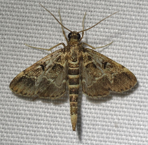
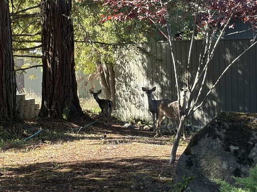
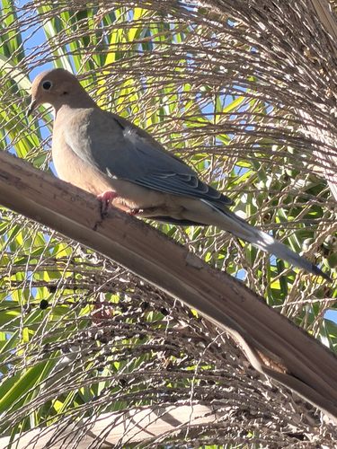
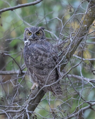
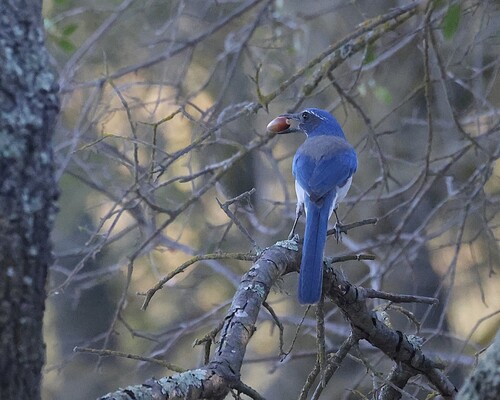
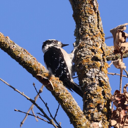
Research-grade observations from iNaturalist (within ~15 mi).
Nearest stream gauge
Live readings from USGS NWIS · measured 2026-10-06 08:00 UTC.
Events
Gallery
Sources
- • Wikipedia
- • US Census Bureau (ACS 5-year estimates)
- • NOAA National Weather Service
- • Wikidata
- • USGS Earthquake Catalog (global feed)
- • USGS NWIS (water data)
- • NCES via Urban Institute Education Data Portal
- • GBIF (Global Biodiversity Information Facility)
- • iNaturalist
- • CDC PLACES
- • Open-Meteo / sunrise-sunset.org
- • Wikipedia Pageviews API
- • Open Library
- • NASA EONET