Browse / United States / California / Aptos
Aptos
CaliforniaCDP

Aptos
Total population
6,404
Median home value
$1,093,300
Bachelor's+
Median income
$134,048
Demographic figures from US Census Bureau · ACS 5-year estimates. Overview below cites Wikipedia and may reference a different year.
City facts
Facts from Wikidata (CC0).
Overview
Aptos is an unincorporated community in Santa Cruz County, California, United States. The town is made up of several small villages, which together form Aptos: Aptos Hills-Larkin Valley, Aptos Village, Cabrillo, Seacliff, Rio del Mar, and Seascape. As of the 2020 census, Aptos had a population of 6,664.
Read more on WikipediaHistory & geography
History
Aptos was traditionally inhabited by the Awaswas tribe of Ohlone people. The name is one of only three native words that have survived (in Hispanicized form) as place names in Santa Cruz County (the others are Soquel and Zayante). In the Awaswas Ohlone language, Aptos may mean "the people" according to Golla (2011). The first European land exploration of Alta California, the Spanish Portolá expedition, passed through the area on its way north, camping at one of the creeks on October 16, 1769. The expedition diaries don't provide enough information to be sure which creek it was, but the direction of travel was northwest, parallel to the coast. Franciscan missionary Juan Crespi, traveling with the expedition, noted in his diary that, "We stopped on the bank of a small stream, which has about four varas of deep running water. It has on its banks a good growth of cottonwoods and alders; on account of the depth at which it runs it may be that it cannot be utilized to water some plains through which it runs." Crespi diary translator Herbert Bolton speculated that the location was Soquel Creek, but it could have been Aptos Creek. In 1833 the government of Mexico granted Rafael Castro the Rancho Aptos. Initially Castro raised cattle for their hides, but after California became a state in 1850, Castro leased his land to Americans who built a wharf, general store, and lumber mill. The original town was located where Aptos Village Square is now. In 1853 a leather tannery was built, and the main building is a bed & breakfast inn . In 1875, Frederick A. Hihn and Claus Spreckels partnered to build the Santa Cruz Railroad, and routed it through Aptos where they both had development interests - Hihn with the Loma Prieta Lumber Company, and Spreckels with his Aptos Hotel resort.…
Geography
For statistical purposes, the United States Census Bureau has defined Aptos as a census-designated place (CDP). The census definition of the area is limited in contrast to the local understanding of the area with the same name. The population of the CDP was 6,664 at the 2020 census. The CDP has a total area of , all land. The southwestern geographical boundary is Monterey Bay, while the northeast boundary is the Santa Cruz Mountains. Aptos is bisected northwest-to-southeast by the State Route 1 freeway and includes the ZIP codes 95001 and 95003.
Excerpted from the corresponding Wikipedia article (CC BY-SA).
Demographics & economy
Race & ethnicity
Source: US Census Bureau — American Community Survey, 5-year estimates.
Geography
Coordinates & boundaries from the US Census TIGER/Line shapefiles.
Climate
Current forecast
Forecast for Aptos, CA from NOAA NWS API.
Air quality
Industrial & pollution facilities
Natural hazard risk
Health (adults)
Walkability
Amenities nearby
Wildlife & biodiversity
Schools
Earthquake history
Photos
Sights & places nearby
Notable people from here


People born within ~10 km, from Wikidata (CC0). Click any name for their Wikipedia article.
Nearby places in California
Geography & sun
Elevation, sunrise/sunset and daylight from Open-Meteo. Solar climatology from NASA POWER.
Nearby airports
Public attention
Pageview totals from the Wikimedia Pageviews API.
Books about Aptos


Search results from Open Library.
Recent natural events nearby
- Wildfire Timber, Monterey, CaliforniaWildfires · 2026-08-09 · 54 mi
- Wildfire Plaskett, Monterey, CaliforniaWildfires · 2026-08-26 · 80 mi
- Wildfire GANN, Calaveras, CaliforniaWildfires · 2026-08-03 · 99 mi
- Wildfire DOME, Mariposa, CaliforniaWildfires · 2026-09-15 · 131 mi
- Wildfire PLAINS, San Luis Obispo, CaliforniaWildfires · 2026-08-12 · 152 mi
- Wildfire FELIZ, Mendocino, CaliforniaWildfires · 2026-08-01 · 155 mi
- Prescribed Fire CRAWFORD CORRAL RX, Tulare, CaliforniaWildfires · 2026-09-19 · 164 mi
- Wildfire LUCAS, Lake, CaliforniaWildfires · 2026-09-10 · 166 mi
Wildfires, storms and other events from NASA EONET (last 12 months, within 250 mi).
Ground air-quality sensors
Recently spotted species
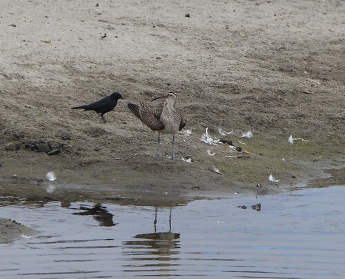
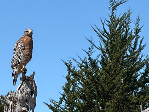



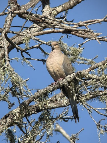
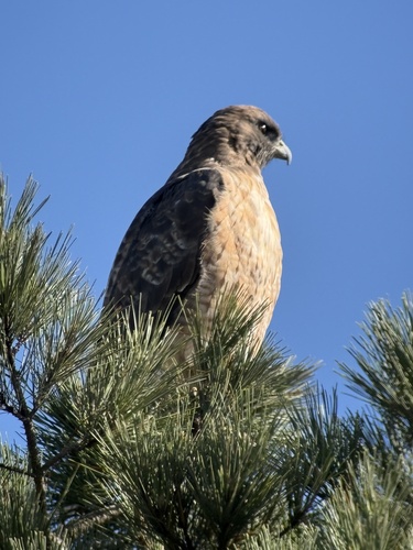

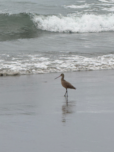
Research-grade observations from iNaturalist (within ~15 mi).
Nearest stream gauge
Live readings from USGS NWIS · measured 2026-10-01 16:15 UTC.
Events
Gallery
Sources
- • Wikipedia
- • US Census Bureau (ACS 5-year estimates)
- • NOAA National Weather Service
- • Wikidata
- • USGS NWIS (water data)
- • iNaturalist
- • Open-Meteo / sunrise-sunset.org
- • Wikipedia Pageviews API
- • Open Library
- • NASA EONET