Browse / United States / California / Arcadia
Arcadia
Californiacity

Arcadia
Total population
55,170
Median home value
$1,441,800
Bachelor's+
Median income
$113,516
Air quality index
Demographic figures from US Census Bureau · ACS 5-year estimates. Overview below cites Wikipedia and may reference a different year.
City facts
Facts from Wikidata (CC0).
Overview
Arcadia is a city in Los Angeles County, California, United States, located about 13 miles (21 km) northeast of downtown Los Angeles in the San Gabriel Valley and at the base of the San Gabriel Mountains. It contains a series of adjacent parks consisting of the Santa Anita Park racetrack, the Los Angeles County Arboretum and Botanic Garden, and Arcadia County Park. The city had a population of 56,681 at the 2020 census. The city is named after Arcadia, Greece.
Read more on WikipediaHistory & geography
History
For over 8,000 years, the site of Arcadia was part of the homeland of the Tongva people ("Gabrieleño" tribe), a Californian Native American tribe whose territory spanned the greater Los Angeles Basin, and the San Gabriel and San Fernando Valleys. Their fluid borders stretched between the Santa Susana Mountains, San Bernardino Mountains, and San Gabriel Mountains in the north; the Santa Monica Mountains and Simi Hills in the west; the San Jacinto Mountains and Santa Ana Mountains in the east; and the coast and Catalina Island (Pimu) in the south. A Tongva settlement site within present-day Arcadia was known as Alyeupkigna (or Aluupkenga). The town's site became part of the Spanish Mission San Gabriel Arcángel lands in 1771. After Indian Reductions to become Mission Indians, the Tongva were known as the Gabrieleños, after the name of the Mission under whose control they worked during the mission period in California. Currently there are 1,700 people self-identifying as members of the Tongva or Gabrieleño tribe. The Mexican land grant for Rancho Santa Anita was issued to Perfecto Hugo Reid and his Tongva wife, Victoria Bartolomea Comicrabit, in 1845. It was named after a family relation, Anita Cota, on his wife's side. Reid documented the Gabrieleño Native Americans in a series of letters written in 1852, and served as a delegate to the 1849 California Constitutional Convention. In 1847, Reid sold Rancho Santa Anita to his Rancho Azusa neighbor, Henry Dalton. The rancho changed owners several times before being acquired by Gold Rush immigrant, businessman, and major regional land owner Elias Jackson "Lucky" Baldwin in 1875. Baldwin purchased of Rancho Santa Anita for $200,000. Upon seeing the area, he gasped "By Gads! This is paradise!" Upon buying the land, Baldwin…
Geography
According to the United States Census Bureau, the city has a total area of . of it is land and of it (1.87%) is water.
Excerpted from the corresponding Wikipedia article (CC BY-SA).
Demographics & economy
Race & ethnicity
Source: US Census Bureau — American Community Survey, 5-year estimates.
Geography
Coordinates & boundaries from the US Census TIGER/Line shapefiles.
Climate
Air quality
Current readings from Open-Meteo Air Quality API (Copernicus CAMS European reanalysis).
Industrial & pollution facilities
Natural hazard risk
Health (adults)
Age-adjusted prevalence estimates from CDC PLACES (latest release).
Walkability
Amenities nearby
Wildlife & biodiversity
Most-observed species
- House FinchHaemorhous mexicanus (P.L.Statius Müller, 1776) · Aves55,736
- Mourning DoveZenaida macroura (Linnaeus, 1758) · Aves49,697
- California TowheeMelozone crissalis (Vigors, 1839) · Aves45,117
- Lesser GoldfinchSpinus psaltria (Say, 1822) · Aves42,482
- Black PhoebeSayornis nigricans (Swainson, 1827) · Aves39,817
- Northern MockingbirdMimus polyglottos (Linnaeus, 1758) · Aves38,650
- Common RavenCorvus corax Linnaeus, 1758 · Aves37,930
- Anna's HummingbirdCalypte anna (R.Lesson, 1829) · Aves36,399
Citizen-science & research observations from the Global Biodiversity Information Facility (GBIF).
Schools
Largest nearby schools
- Arcadia HighHigh · Arcadia · 3,022 students · 25:1 ratio
- Options For Youth - Duarte IncHigh · City Of Industry · 2,354 students · 28:1 ratio
- Schurr HighHigh · Montebello · 2,224 students · 20.2:1 ratio
- Mark Keppel HighHigh · Alhambra · 2,205 students · 26.3:1 ratio
- Alhambra HighHigh · Alhambra · 2,160 students · 22.7:1 ratio
- Eagle Rock HighHigh · Los Angeles · 2,069 students · 19.9:1 ratio
- Montebello HighHigh · Montebello · 2,054 students · 19.9:1 ratio
- La Canada HighHigh · La Canada · 1,993 students · 24.3:1 ratio
Public K–12 schools within ~10 mi from Urban Institute Education Data Portal (NCES Common Core of Data, 2022).
Earthquake history
Most recent
- M 3.16 — 2026-10-092 km SW of Signal Hill, CA
- M 2.7 — 2026-10-082 km WNW of Fontana, CA
- M 2.51 — 2026-10-0531 km SW of Dana Point, CA
- M 2.81 — 2026-10-0532 km SW of Dana Point, CA
- M 3.48 — 2026-10-0531 km SW of Dana Point, CA
- M 3.81008714964485 — 2026-09-304 km SE of Piru, CA
Events from the USGS Earthquake Catalog (global) (FDSN Event Web Service).
Photos
Sights & places nearby
Notable people from here


People born within ~10 km, from Wikidata (CC0). Click any name for their Wikipedia article.
Geography & sun
Elevation, sunrise/sunset and daylight from Open-Meteo. Solar climatology from NASA POWER.
Nearby airports
Public attention
Pageview totals from the Wikimedia Pageviews API.
Books about Arcadia


Search results from Open Library.
Recent natural events nearby
- Wildfire RIDGE, Los Angeles, CaliforniaWildfires · 2026-08-07 · 64 mi
- Wildfire BUZZARD, Kern, CaliforniaWildfires · 2026-08-05 · 73 mi
- Wildfire PLAINS, San Luis Obispo, CaliforniaWildfires · 2026-08-12 · 143 mi
- Prescribed Fire CRAWFORD CORRAL RX, Tulare, CaliforniaWildfires · 2026-09-19 · 179 mi
- Wildfire Plaskett, Monterey, CaliforniaWildfires · 2026-08-26 · 227 mi
Wildfires, storms and other events from NASA EONET (last 12 months, within 250 mi).
Ground air-quality sensors
Recently spotted species
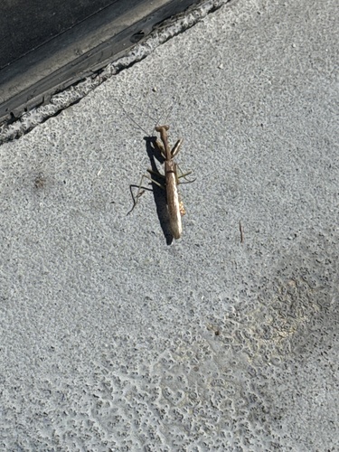
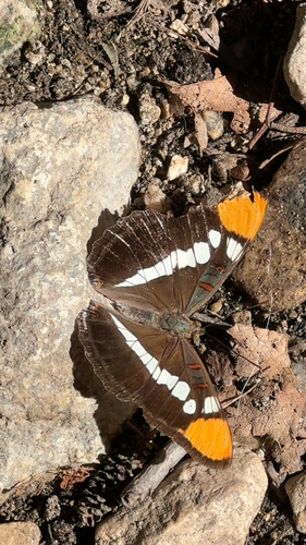
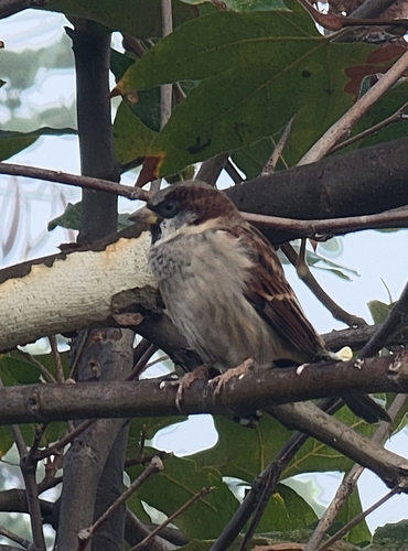
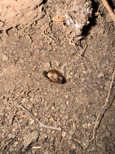
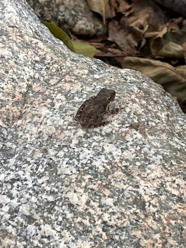
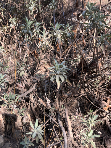
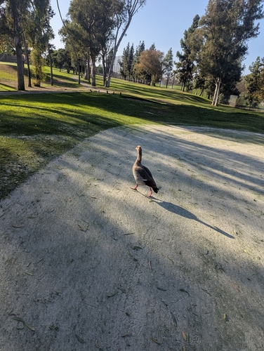
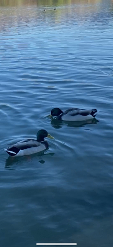
Research-grade observations from iNaturalist (within ~15 mi).
Nearest stream gauge
Events
Gallery
Sources
- • Wikipedia
- • US Census Bureau (ACS 5-year estimates)
- • Wikidata
- • Open-Meteo Air Quality (CAMS)
- • USGS Earthquake Catalog (global feed)
- • NCES via Urban Institute Education Data Portal
- • GBIF (Global Biodiversity Information Facility)
- • iNaturalist
- • CDC PLACES
- • Open-Meteo / sunrise-sunset.org
- • Wikipedia Pageviews API
- • Open Library
- • NASA EONET