Browse / Canada / Nunavut / ᐃᒃᐱᐊᕐᔪᒃ Arctic Bay
ᐃᒃᐱᐊᕐᔪᒃ Arctic Bay
Nunavuttown

ᐃᒃᐱᐊᕐᔪᒃ Arctic Bay
Total population
690
Demographic figures from Statistics Canada. Overview below cites Wikipedia and may reference a different year.
City facts
Facts from Wikidata (CC0).
Overview
Arctic Bay is an Inuit hamlet located in the northern part of the Borden Peninsula on Baffin Island in the Qikiqtaaluk Region of Nunavut, Canada. Arctic Bay is located in the Eastern Time Zone although it is quite close to the time zone boundary. The predominant languages are Inuktitut and English. Arctic Bay is notable for being the birthplace of the former Premier of Nunavut and, as of 2021, the Commissioner of Nunavut, Eva Aariak. It is the northernmost public community in Canada not formed from forced relocation.
Read more on WikipediaHistory & geography
History
The Arctic Bay area has been occupied for nearly 5000 years by Inuit migrating from the west. In 1872, a European whaling ship, the Arctic, captained by Willie Adams, passed through and gave the area its English name. In September 1926, the Hudson's Bay Company (HBC) established a fur trade post at Arctic Bay, originally called Tukik, but closed the next year. In 1931, the Tukik post was reopened and renamed to Arctic Bay in 1936. In 1959, the HBC post became part of its Northern Stores Department. HBC divested this department in 1987 to The North West Company, which still operates a Northern Store at Arctic Bay. When the nearby mining town of Nanisivik closed in 2006, residents of Arctic Bay had hoped to boost their housing and public facilities with buildings relocated from Nanisivik, but those hopes were dashed due to lead-zinc contamination. However, a church was relocated from Nanisivik to Arctic Bay in April 2007. On 10 August 2007, Prime Minister Stephen Harper announced the creation of Nanisivik Naval Facility, to reinforce Canadian presence in the Arctic. The original plans have been downgraded after geotechnical problems increased the cost; it will now operate for four months a year as a refuelling station, primarily for the Harry DeWolf-class Arctic patrol ships. Construction began in August 2014 and the facility is planned to be fully operational by 2025. In October 2020, clothing manufacturer Canada Goose and Canadian actor Ryan Reynolds announced the donation of over 300 repurposed parkas and boots to K–12 students at the Inuujaq School in Arctic Bay. The donation came after a tweet from activist Koonoo Han, who had grown up in the community, drawing attention to the needs of the community.
Geography
The hamlet is located in the western part of the Borden Peninsula, on the small namesake bay. The Inuktitut name for Arctic Bay is Ikpiarjuk which means "the pocket" in English. This name describes the high hills that surround the almost landlocked bay. To the southeast, the flat-topped King George V Mountain, at nearly high, dominates the landscape of the hamlet. Arctic Bay experiences a tundra climate (Köppen: ET) like most northern Canadian territories at low elevations, with long, very cold winters and short, cool to cold summers. July is the only month with an average low temperature above freezing. Its climate does not differ from the more severe subarctic climates except for the practically non-existent summer (even Svalbard, an island to the north, has much warmer summers). Even in summer, the average temperature at dawn can be below freezing. The amount of precipitation is of a desert climate, below , and the days of snow is comparable to a coastal city of a lake or sea in the middle latitudes, but low for the location. Most precipitation is between summer and early fall.
Excerpted from the corresponding Wikipedia article (CC BY-SA).
Geography
Coordinates & boundaries from the US Census TIGER/Line shapefiles.
Climate
Air quality
Walkability
Amenities nearby
Wildlife & biodiversity
Earthquake history
Photos
Sights & places nearby
Notable people from here
People born within ~10 km, from Wikidata (CC0). Click any name for their Wikipedia article.
Geography & sun
Elevation, sunrise/sunset and daylight from Open-Meteo. Solar climatology from NASA POWER.
Nearby airports
Public attention
Pageview totals from the Wikimedia Pageviews API.
Books about this place
Recent natural events nearby
Ground air-quality sensors
Recently spotted species
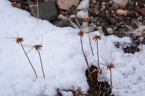
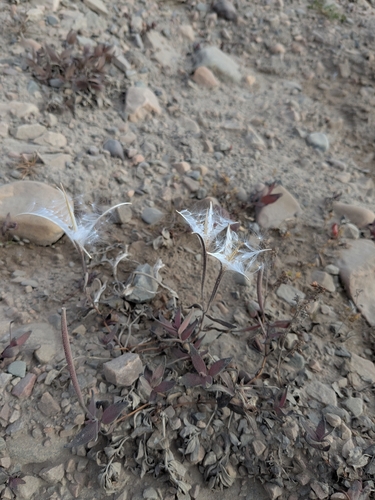
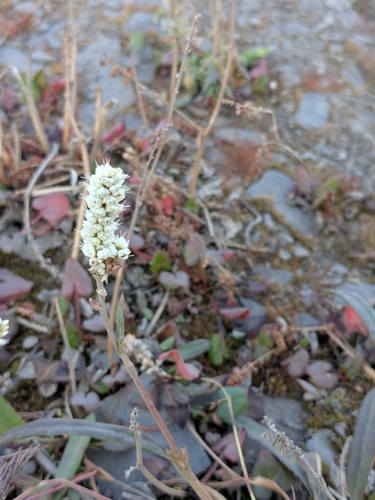
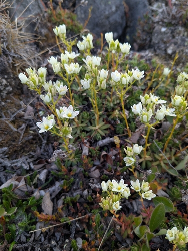
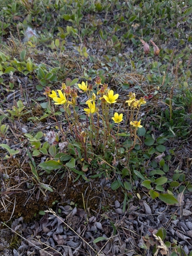
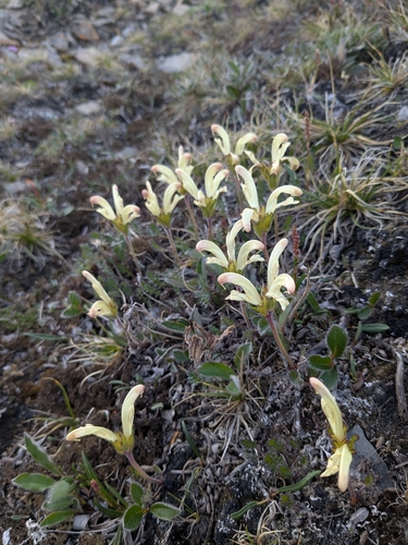
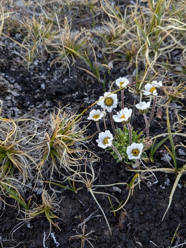
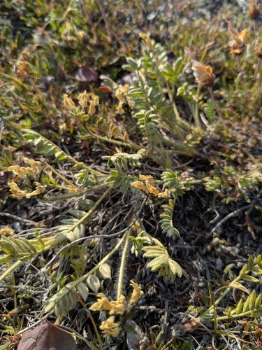
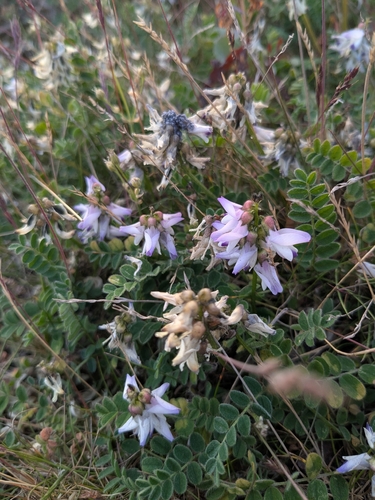
Research-grade observations from iNaturalist (within ~15 mi).
Events
Gallery
Official Identifiers
StatCan — Statistics Canada
- SGC code
- 6204018
- Population (Wikidata)
- 817
- Wikidata
- Q638017
Standard Geographical Classification (SGC) via Wikidata P3012
Sources
- • Wikipedia
- • Wikidata
- • iNaturalist
- • Open-Meteo / sunrise-sunset.org
- • Wikipedia Pageviews API
- • StatCan — Statistics Canada — Standard Geographical Classification (SGC) via Wikidata P3012