Browse / Canada / Alberta / Ardmore
Ardmore
Albertahamlet
Demographic figures from Statistics Canada. Overview below cites Wikipedia and may reference a different year.
City facts
Overview
Ardmore sits in Alberta, Canada and is identified as a hamlet. Coordinates of 54.332°, -110.477° situate Ardmore in the cool-temperate zone of the northern hemisphere. Up-to-date population figures for this locality are not available in the open datasets we monitor. Its latitude implies a climate characterised by long cool seasons and short, mild summers. The location receives about 1,199 kWh/m² of solar irradiance per year and sunshine for roughly 47% of daylight hours. The remainder of this page draws on open public data to describe the area's demographics, climate, environment and nearby amenities.
Summary composed automatically from structured open data on this page. See our Terms for details.
History & geography
Geography
Coordinates & boundaries from the US Census TIGER/Line shapefiles.
Climate
Air quality
Walkability
Amenities nearby
Wildlife & biodiversity
Most-observed species
- Canada Goose (canadensis Group)Branta canadensis (Linnaeus, 1758) · Aves997
- American CrowCorvus brachyrhynchos C.L.Brehm, 1822 · Aves950
- MallardAnas platyrhynchos Linnaeus, 1758 · Aves932
- Franklin's GullLeucophaeus pipixcan (Wagler, 1831) · Aves894
- Red-winged BlackbirdAgelaius phoeniceus (Linnaeus, 1766) · Aves880
- Blue-winged TealSpatula discors (Linnaeus, 1766) · Aves757
- Black-billed MagpiePica hudsonia (Sabine, 1823) · Aves698
- Song SparrowMelospiza melodia (A.Wilson, 1810) · Aves689
Citizen-science & research observations from the Global Biodiversity Information Facility (GBIF).
Earthquake history
Events from the USGS Earthquake Catalog (global) (FDSN Event Web Service).
Photos
Sights & places nearby
Notable people from here
People born within ~10 km, from Wikidata (CC0). Click any name for their Wikipedia article.
Nearby places in Alberta
- Durlingville7.7 mi away
- Beaver River8.7 mi away
- Beaver Crossing11.1 mi away
- Pine Meadows Hutterite Colony31.4 mi away
- Lindbergh32.4 mi away
- Mallaig36.8 mi away
- Boscombe40.4 mi away
- Ashmont46.2 mi away
- O.B. Hutterite Colony46.7 mi away
- Rich Lake47.5 mi away
- Stoney Creek Hutterite Colony47.9 mi away
- Clandonald53.5 mi away
Geography & sun
Elevation, sunrise/sunset and daylight from Open-Meteo. Solar climatology from NASA POWER.
Nearby airports
Public attention
Pageview totals from the Wikimedia Pageviews API.
Books about this place
Recent natural events nearby
Ground air-quality sensors
Recently spotted species
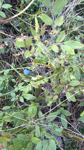
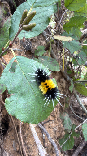
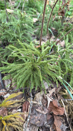
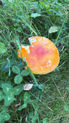
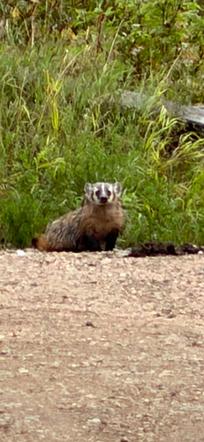
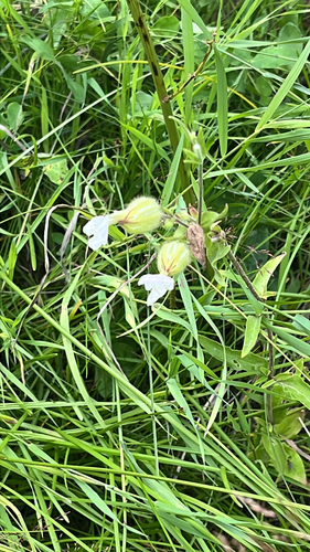
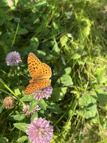
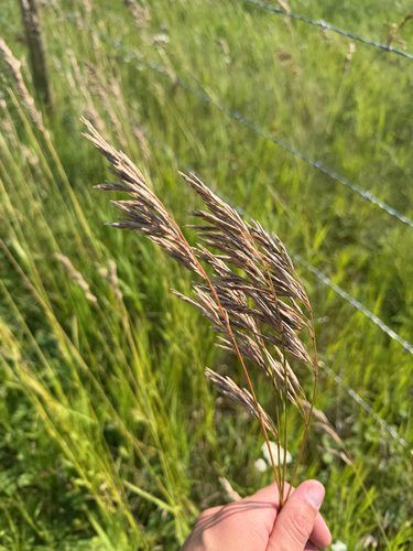
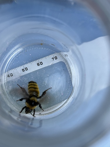
Research-grade observations from iNaturalist (within ~15 mi).
Events
Gallery
Sources
- • Wikidata
- • USGS Earthquake Catalog (global feed)
- • GBIF (Global Biodiversity Information Facility)
- • iNaturalist
- • Open-Meteo / sunrise-sunset.org
- • Wikipedia Pageviews API