Browse / Canada / Ontario / Astorville
Astorville
Ontariovillage

Featured view
Astorville
Land area155.17 km²
Coordinates46.18°, -79.28°
Demographic figures from Statistics Canada. Overview below cites Wikipedia and may reference a different year.
Loading additional data from public sources…0 / 11
CensusWikipediaWeatherPlacesPeopleEnvironmentHealth & SchoolsRelatedGeography & CultureLive MonitoringEvents & Gallery
0% completeCity facts
Area
155.17 km²
Official website
eastferris.caFacts from Wikidata (CC0).
Overview
East Ferris is a township in northeastern Ontario, Canada, located between Trout Lake and Lake Nosbonsing in Nipissing District.
Read more on WikipediaHistory & geography
Geography
Latitude
46.1839
Longitude
-79.2775
Water area
—
Coordinates & boundaries from the US Census TIGER/Line shapefiles.
Climate
Air quality
Walkability
Amenities nearby
Wildlife & biodiversity
Earthquake history
Photos
Sights & places nearby
Notable people from here
Geography & sun
Avg solar (kWh/m²/day)
3.46
Annual solar (kWh/m²)
1,262
Elevation, sunrise/sunset and daylight from Open-Meteo. Solar climatology from NASA POWER.
Nearby airports
Public attention
Wikipedia views (last 30 days)
174
Avg daily Wikipedia views
6
Attention level
Obscure
Pageview totals from the Wikimedia Pageviews API.
Books about Astorville
Peintures et souvenirs d'enfance
Bernard Rochefort · 2010
10e anniversaire de fondation de la paroisse Saint-Thomas d'Aquin, d'Astorville, Ontario
1952
Album-souvenir
1952
Pour un cinquantenaire
1952
Pour un cinquantenaire : monographies
1952
Documents historiques
1951
Search results from Open Library.
Recent natural events nearby
Ground air-quality sensors
Recently spotted species
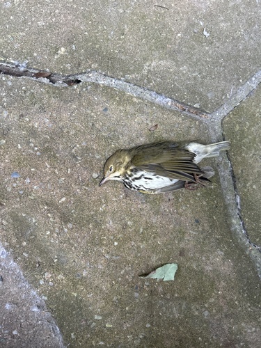
Ovenbird
Seiurus aurocapilla
Seen 2026-09-25
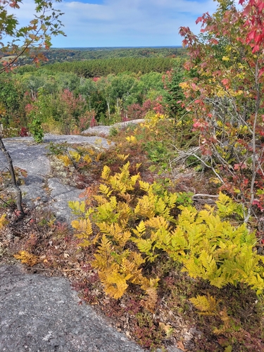
eagle fern
Pteridium aquilinum latiusculum
Seen 2026-09-25
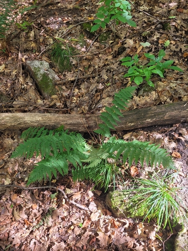
marginal wood fern
Dryopteris marginalis
Seen 2026-09-25
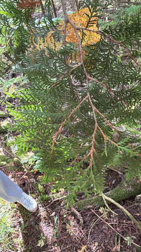
northern whitecedar
Thuja occidentalis
Seen 2026-09-25
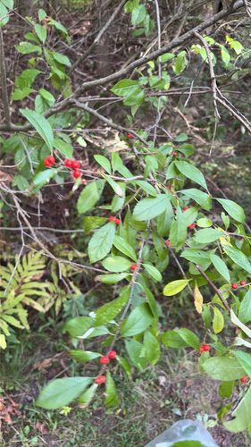
winterberry holly
Ilex verticillata
Seen 2026-09-25
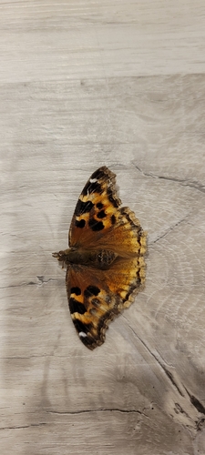
Compton Tortoiseshell
Nymphalis l-album
Seen 2026-09-24
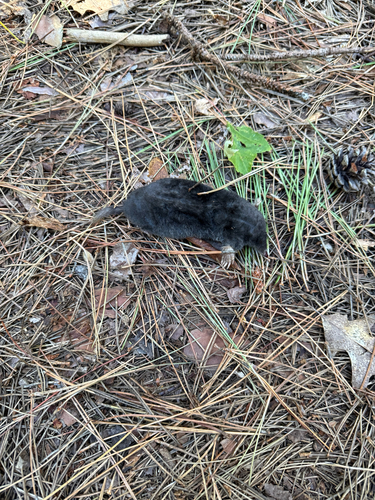
Hairy-tailed Mole
Parascalops breweri
Seen 2026-09-22
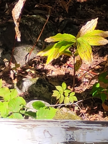
Eastern Chipmunk
Tamias striatus
Seen 2026-09-22
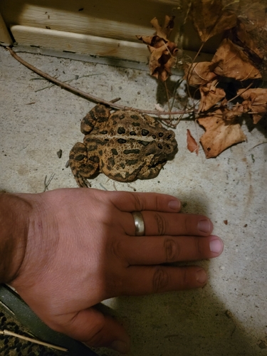
American Toad
Anaxyrus americanus
Seen 2026-09-19
Research-grade observations from iNaturalist (within ~15 mi).
Events
Gallery
Sources
- • Wikipedia
- • Wikidata
- • iNaturalist
- • Open-Meteo / sunrise-sunset.org
- • Wikipedia Pageviews API
- • Open Library