Browse / Canada / British Columbia / Atlin
Atlin
British Columbiatown

Atlin
Demographic figures from Statistics Canada. Overview below cites Wikipedia and may reference a different year.
City facts
Overview
Atlin is a community in northwestern British Columbia, Canada, located on the eastern shore of Atlin Lake. In addition to continued gold-mining activity, Atlin is a tourist destination for fishing, hiking and heliskiing. As of 2016, there are 477 permanent residents.
Read more on WikipediaHistory & geography
History
The exact time when prospectors arrived in Atlin is unknown. George Miller is supposed to be the first person to have learned of the presence of gold within the area surrounding Atlin. The two men most commonly referred to as the "founders" of Atlin are Frederick Miller and Kenneth McLaren, who staked claims along the nearby Pine Creek in 1898. The Atlin Gold Rush came to Atlin Lake country in 1898 and was one of the richest offshoots of the Klondike Gold Rush. By the end of the mining season of 1899, around 5,000 people had flocked to the region and Atlin became a busy and important settlement, centre of the Atlin Mining District, and one of the flash-points of the Alaska boundary dispute. "Although production was greatest in its early years, the Atlin field still produces today. Total placer gold production has exceeded $23,000,000." In the 1920s, Atlin was popular as an exotic tourist destination. There was no road to the settlement, requiring tourists to travel up the Inside Passage through the British Columbia Coast and the Alaska Panhandle and via passes through Alaska and a series of lakes in Yukon and British Columbia. The journey ended when the M.V. Tarahne (and other lake boats) took the tourists across the lake to stay at the large three storey Atlin Inn (built by the White Pass and Yukon Route company). It was during this time it was nicknamed the "Switzerland of the North" because it is surrounded by mountains in much the same way as Switzerland. During the Great Depression, tourism decreased and the White Pass and Yukon Route closed their transportation routes and hotel. Atlin was largely isolated from transportation and commerce until the Atlin Road was built in 1949.
Excerpted from the corresponding Wikipedia article (CC BY-SA).
Geography
Coordinates & boundaries from the US Census TIGER/Line shapefiles.
Climate
Air quality
Walkability
Amenities nearby
Wildlife & biodiversity
Earthquake history
Photos
Sights & places nearby
Notable people from here
People born within ~10 km, from Wikidata (CC0). Click any name for their Wikipedia article.
Nearby places in British Columbia
Geography & sun
Elevation, sunrise/sunset and daylight from Open-Meteo. Solar climatology from NASA POWER.
Nearby airports
Public attention
Pageview totals from the Wikimedia Pageviews API.
Books about Atlin

Search results from Open Library.
Recent natural events nearby
Ground air-quality sensors
Recently spotted species
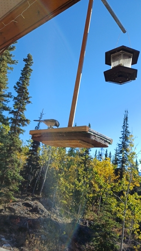
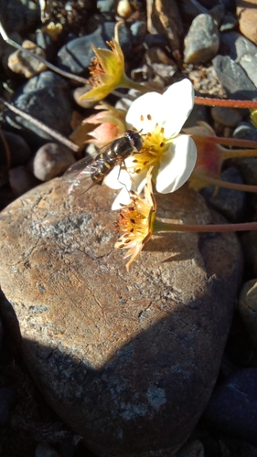
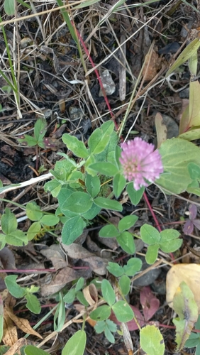
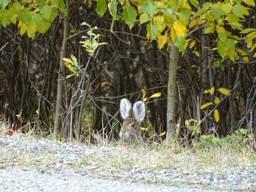
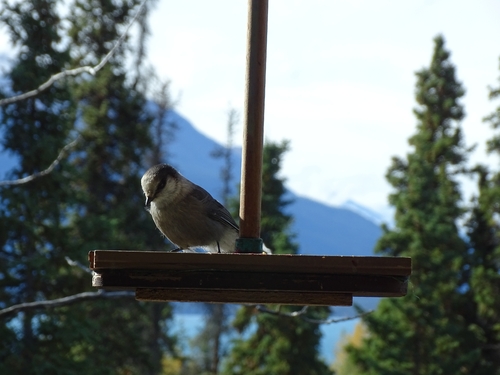
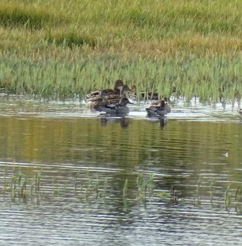
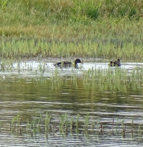
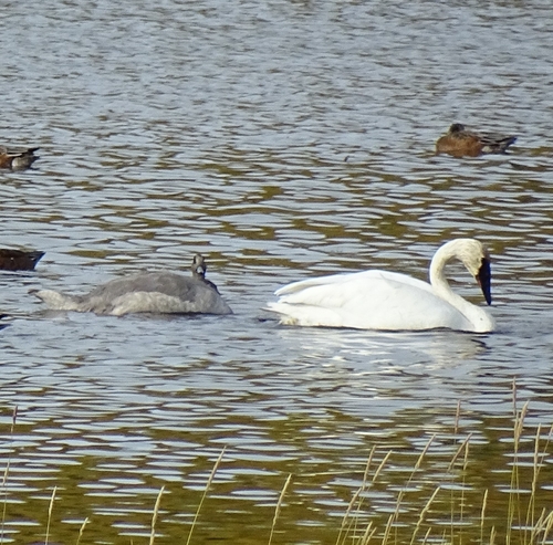
Research-grade observations from iNaturalist (within ~15 mi).
Events
Gallery
Sources
- • Wikipedia
- • Wikidata
- • iNaturalist
- • Open-Meteo / sunrise-sunset.org
- • Wikipedia Pageviews API
- • Open Library