Browse / Canada / Ontario / Ayr
Ayr
Ontariovillage

Ayr
Founded
1824
Demographic figures from Statistics Canada. Overview below cites Wikipedia and may reference a different year.
City facts
Facts from Wikidata (CC0).
Overview
Ayr is a community in Ontario, Canada that is located within the Township of North Dumfries in the Regional Municipality of Waterloo in Southwestern Ontario. Ayr is located south of Kitchener and west of Cambridge.
Read more on WikipediaHistory & geography
History
The village later to be called Ayr, on the Nith River, was originally a group of settlements, Mudge's Mills in the centre, Jedburgh to the east and Nithvale to the west, that eventually combined into one as they expanded. The name Ayr was first used in 1840 when it was assigned to the post office. The territory in this area, eventually to be the township of North Dumfries, consisting of 94,305 acres, had been sold to Philip Stedman in 1798 from Joseph Brant of the Six Nations. Ownership transferred to Thomas Clarke and then in 1816 to William Dickson a wealthy immigrant from Scotland. Absalom Shade was the only individual land owner in the area of the junction of Smith's Creek (now the Nith River) and Cedar Creek in 1822 and the first actual settler was Abel Mudge, initially as a squatter. He built a dam, a sawmill and a grist mill. The Nith River and Cedar Creek were useful for powering mills. The other two settlements were not a part of Ayr but received their mail at the single post office. The Smith's Canadian Gazetteer of 1846 describes Ayr, population 230, as containing two churches, a post office receiving mail once a week and businesses such as a grist mill, fulling mill and carding machine, a tannery, two stores, a blacksmith, two shoemakers, two tailors, one cooper and two carpenters. The Ayr Agricultural Works was founded in 1847 by John Watson from Scotland. It originally manufactured iron pots and stoves but expanded into agricultural machinery in the 1880s. In 1882, a new, four storey factory was built, making the company the largest agricultural works in Canada at that time. The company was renamed the John Watson Manufacturing Company in 1884. It ceased to operate in 1991. By 1848 the population of Ayr was 700. In the next few years a newspaper and…
Excerpted from the corresponding Wikipedia article (CC BY-SA).
Geography
Coordinates & boundaries from the US Census TIGER/Line shapefiles.
Climate
Air quality
Walkability
Amenities nearby
Wildlife & biodiversity
Earthquake history
Photos
Sights & places nearby
Notable people from here


People born within ~10 km, from Wikidata (CC0). Click any name for their Wikipedia article.
Nearby places in Ontario
Geography & sun
Elevation, sunrise/sunset and daylight from Open-Meteo. Solar climatology from NASA POWER.
Nearby airports
Public attention
Pageview totals from the Wikimedia Pageviews API.
Books about Ayr


Search results from Open Library.
Recent natural events nearby
Ground air-quality sensors
Recently spotted species
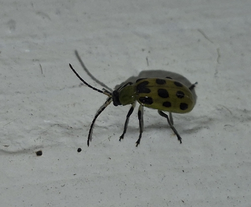
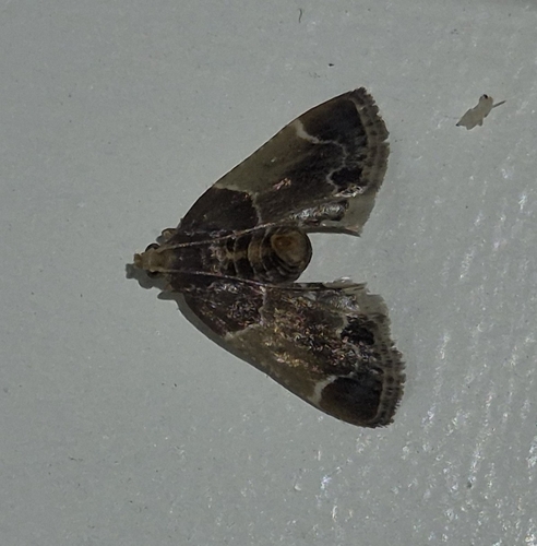
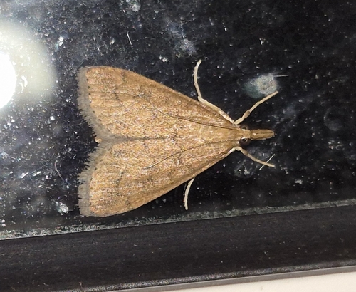
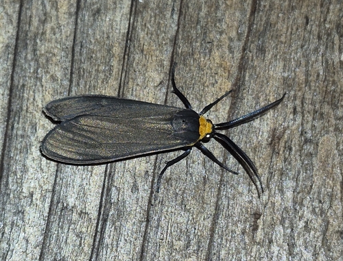
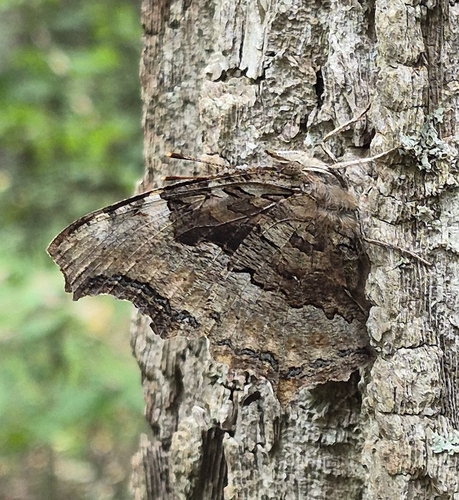
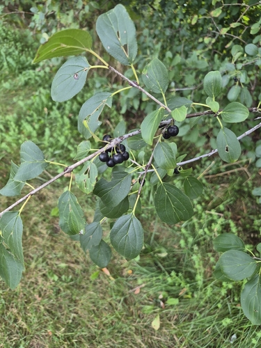
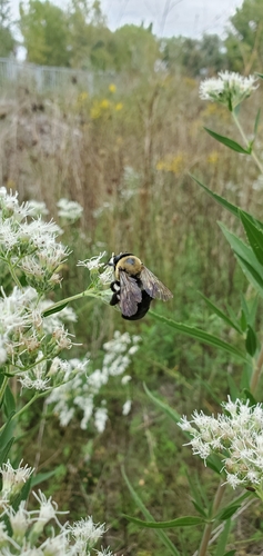
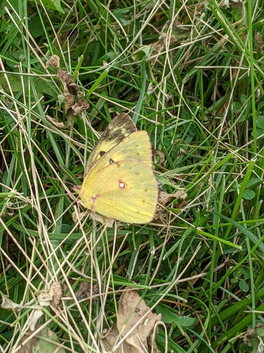
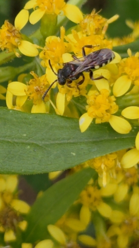
Research-grade observations from iNaturalist (within ~15 mi).
Events
Gallery
Sources
- • Wikipedia
- • Wikidata
- • iNaturalist
- • Open-Meteo / sunrise-sunset.org
- • Wikipedia Pageviews API
- • Open Library