Browse / Canada / British Columbia / Bamfield
Bamfield
British Columbiahamlet

Bamfield
Total population
179
Demographic figures from Statistics Canada. Overview below cites Wikipedia and may reference a different year.
City facts
Facts from Wikidata (CC0).
Overview
Bamfield is a community that is surrounded by Crown Land, First Nation Lands belonging to the Huu-ay-aht Nations, and portions of the Pacific Rim National Park, located on Barkley Sound, Vancouver Island in British Columbia, Canada. The community, with a population of 179 as of 2016, is divided by Bamfield Inlet.
Read more on WikipediaHistory & geography
History
Bamfield was populated by Huu-ay-aht of the Nuu-chah-nulth, the local Indigenous people. Europeans founded a small fishing community sometime in the late 1800s. Most of the Indigenous people now live in the neighbouring village of Anacla about 5 kilometres from Bamfield. Bamfield was named after the first government agent of the area, William Eddy Banfield. The name "Bamfield" with an "m" is said to have occurred either because of how the Huu-ay-aht had pronounced the agent's name, or it was a mistake made by the postal organization. In 1902, the Bamfield cable station was constructed as the western terminus of a worldwide undersea telegraph cable called the All Red Line by some, as it passed only through countries and territories controlled by the British Empire, which were coloured red on maps of the time. The cable initially went to Fanning Island, a tiny coral atoll in the mid-Pacific, and from there continued to Fiji, New Zealand, and Australia. On May 16, 1915, American newspapers reported that an enemy Demo team had tried to land at Bamfield but was scared off by the military guards. A second building, made of concrete, was built on the site in 1926 to replace the old wood structure. This building, designated a historic site in 1930, is now used by the Bamfield Marine Sciences Centre. During the early years of World War II, Cable & Wireless' cable station was shelled by an Imperial Japanese Navy submarine from nearby Barkley Sound without any major damage being inflicted, however the Canadian Government arranged for a company of troops to be based there until the end of that conflict. A Marine and Fisheries lifesaving station on the Pacific coast was established at Bamfield in 1907. It was the first lifesaving station on Canada's Pacific Coast. In 1953…
Excerpted from the corresponding Wikipedia article (CC BY-SA).
Geography
Coordinates & boundaries from the US Census TIGER/Line shapefiles.
Climate
Air quality
Walkability
Amenities nearby
Wildlife & biodiversity
Most-observed species
- ocean shrimpPandalus jordani M.J.Rathbun, 1902 · Malacostraca4,208
- sidestripe shrimpPandalus dispar (M.J.Rathbun, 1902) · Malacostraca1,385
- ochre starsPisaster ochraceus (Brandt, 1835) · Asteroidea1,233
- Bald EagleHaliaeetus leucocephalus (Linnaeus, 1766) · Aves777
- Glaucous-winged GullLarus glaucescens J.F.Naumann, 1840 · Aves673
- American CrowCorvus brachyrhynchos C.L.Brehm, 1822 · Aves601
- giant green anemoneAnthopleura xanthogrammica (Brandt, 1835) · Anthozoa579
- American RobinTurdus migratorius Linnaeus, 1766 · Aves523
Citizen-science & research observations from the Global Biodiversity Information Facility (GBIF).
Earthquake history
Most recent
- M 3.18 — 2026-09-1521 km SSW of Ucluelet, Canada
- M 3.7 — 2025-08-1917 km NNW of Sekiu, Washington
- M 3 — 2025-05-0119 km E of Ucluelet, Canada
- M 2.57 — 2024-10-2934 km WSW of Neah Bay, Washington
- M 2.58 — 2024-08-0726 km S of Ucluelet, Canada
- M 2.6 — 2024-01-2221 km WSW of Neah Bay, Washington
Events from the USGS Earthquake Catalog (global) (FDSN Event Web Service).
Photos
Sights & places nearby
Notable people from here
Nearby places in British Columbia
Geography & sun
Elevation, sunrise/sunset and daylight from Open-Meteo. Solar climatology from NASA POWER.
Nearby airports
Public attention
Pageview totals from the Wikimedia Pageviews API.
Books about Bamfield


Search results from Open Library.
Recent natural events nearby
- Wildfire Electric, Whatcom, WashingtonWildfires · 2026-08-22 · 169 mi
- Wildfire Thunder Creek, Skagit, WashingtonWildfires · 2026-08-22 · 189 mi
- Wildfire SISI, Chelan, WashingtonWildfires · 2026-08-14 · 200 mi
- Wildfire KING, Kittitas, WashingtonWildfires · 2026-08-19 · 202 mi
- Wildfire GOAT, Kittitas, WashingtonWildfires · 2026-08-22 · 211 mi
Wildfires, storms and other events from NASA EONET (last 12 months, within 250 mi).
Ground air-quality sensors
Recently spotted species
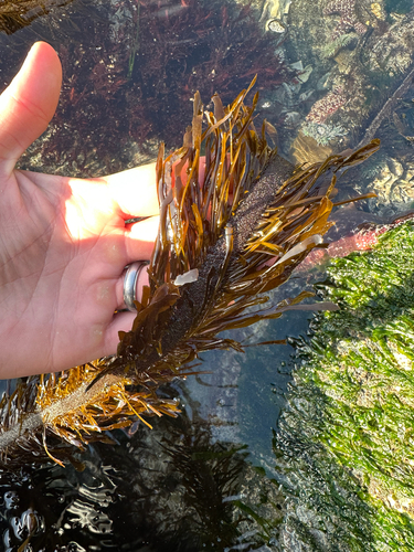
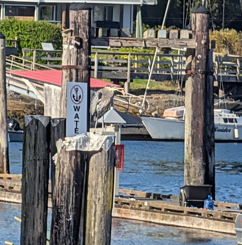
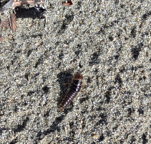
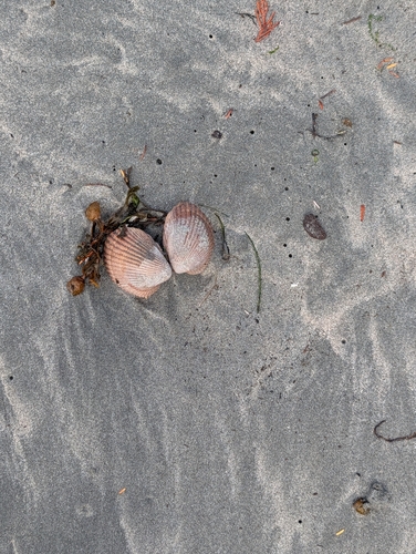
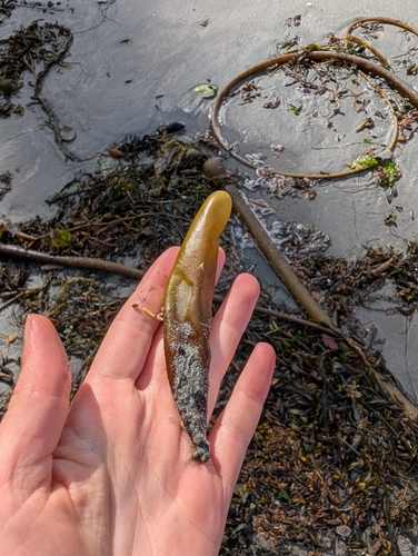
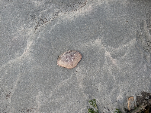
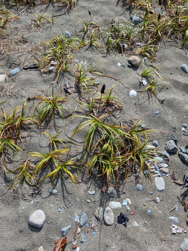
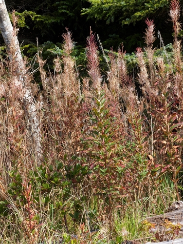
Research-grade observations from iNaturalist (within ~15 mi).
Events
Gallery
Sources
- • Wikipedia
- • Wikidata
- • USGS Earthquake Catalog (global feed)
- • GBIF (Global Biodiversity Information Facility)
- • iNaturalist
- • Open-Meteo / sunrise-sunset.org
- • Wikipedia Pageviews API
- • Open Library
- • NASA EONET