Browse / Canada / Alberta / Barrhead
Barrhead
Albertatown

Barrhead
Total population
4,320
Demographic figures from Statistics Canada. Overview below cites Wikipedia and may reference a different year.
City facts
Facts from Wikidata (CC0).
Overview
Barrhead is a town in central Alberta, Canada that is surrounded by the County of Barrhead No. 11. It is located along the Paddle River and at the intersection of Highway 33 and Highway 18, approximately 120 km (75 mi) northwest of the City of Edmonton. It is also located along the route of the Express Trail, used by the North West Company, which was originally a First Nations trail. The trail was later widened by George Simpson and John Rowand to save the North West Company over $5,000.
Read more on WikipediaHistory & geography
History
During the late 19th century and the early 20th century, Barrhead played an important role in the settlement of northwest Alberta. Highway 33, known as the Grizzly Trail, follows the original Klondike Trail, which was the shortest route to the Yukon during the Gold Rush years. Once established, this route was key to the settlement of the Peace River region. The old Barrhead town site, 3 km north of the present Town Centre, was a frequent stop over for the few Klondikers and others who needed supplies for the rigorous journey north. Originally established in 1906, Barrhead's position as a major trade centre on the historic Klondike Trail gave it a significant role in the settlement of north-western Alberta. It was a vital link in the trade route from Fort Edmonton to the Yukon. James McGuire, the child of one of the first settlers in the area, named Barrhead after his hometown in Scotland. Today, the community's rich history can be revisited through a collection of artifacts at the Barrhead and District Museum. The museum also houses a large display of African taxidermy, as well as the Barrhead Visitor Information Centre, which is open from May to September. The great blue heron is another prominent figure in local lore, is often spotted along the shores of the Paddle River and local lakes, and is the town's official animal. A statue of the bird is situated next to the Community Gazebo that marks the town centre and miniatures of the bird adorn the street posts. The area was a quiet land of rolling hills well covered with stands of poplar, birch, pine and spruce trees on the higher ground with the low areas filled with willow and tamarack. The area has always been sparsely populated, with Cree natives passing through the region for the last 5000 years mainly…
Geography
The area contains dense stands of spruce, birch, pine and poplar. It also has some of the most fertile farmland in the province and is located between two major rivers, the Athabasca River and Pembina River. The Paddle River, a tributary of the Pembina River, flows directly through the town Barrhead. If you go south and east of town there are low flatlands and river-lands, and to the west of town there is the area's main recreational area, Thunder Lake Provincial Park, approximately west of the town. Thunder Lake is very popular for boating, fishing and camping and is home to many residents from other areas of the province during the summer months. The northern parts of the Barrhead region contain thick stands of spruce, pine and tamarack. Throughout the county of Barrhead there are also numerous lakes besides just Thunder Lake Provincial Park that are great for camping and fishing. There is also a local ski hill with good elevation on the Athabasca River valley. Wildlife in the Barrhead area include deer, moose, coyote, black bear, grizzly bear, mountain lion, wolves and the county emblem the great blue heron. The town has a borderline humid continental (Köppen Dfb)/subarctic (Dfc) climate. Barrhead lies in USDA Plant Hardiness Zone 3a) and is characterised by pleasant summers and frigid winters. There are four distinct seasons. Temperatures reach upwards of during June, July, and August and can drop as low as , though like all of Alberta winters are extremely variable from year to year. Rainfall is moderate, with the majority falling during the summer months. The area is noticeably wetter than in surrounding regions, particularly to the south and east. Around a metre of snow falls on the region during winter. During the summer solstice, twilight extends…
Excerpted from the corresponding Wikipedia article (CC BY-SA).
Geography
Coordinates & boundaries from the US Census TIGER/Line shapefiles.
Climate
Air quality
Walkability
Amenities nearby
Wildlife & biodiversity
Earthquake history
Photos
Sights & places nearby
Notable people from here


People born within ~10 km, from Wikidata (CC0). Click any name for their Wikipedia article.
Geography & sun
Elevation, sunrise/sunset and daylight from Open-Meteo. Solar climatology from NASA POWER.
Nearby airports
Public attention
Pageview totals from the Wikimedia Pageviews API.
Books about Barrhead

Search results from Open Library.
Recent natural events nearby
Ground air-quality sensors
Recently spotted species
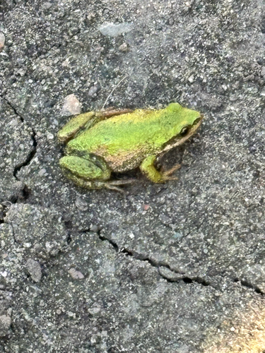
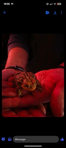
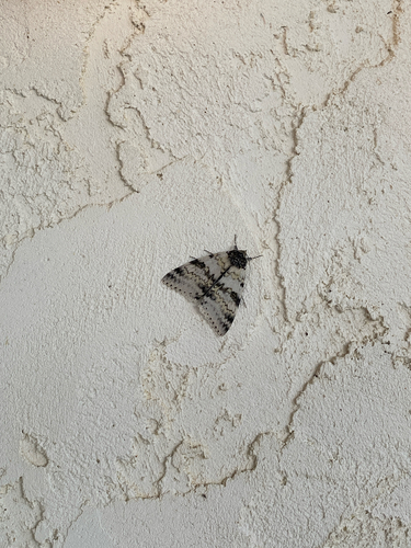
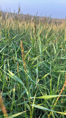
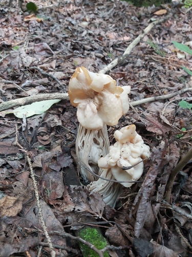
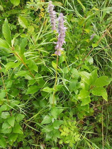
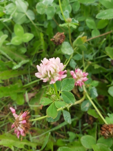
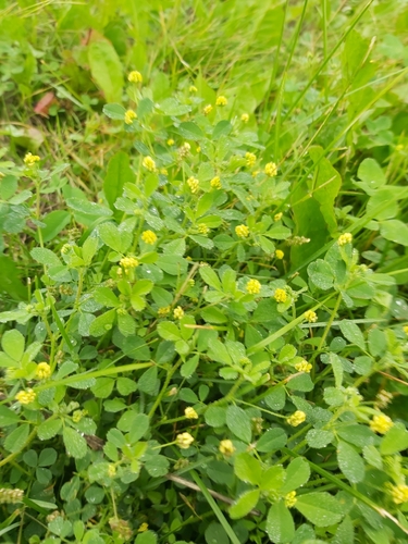
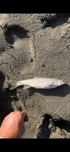
Research-grade observations from iNaturalist (within ~15 mi).
Events
Gallery
Geotagged photos within ~6 miles of Barrhead, from Wikimedia Commons contributors.


.jpg)


Photos via Wikimedia Commons — see each image page for license & attribution.
Official Identifiers
StatCan — Statistics Canada
- SGC code
- 4813019
- Population (Wikidata)
- 4,320
- Wikidata
- Q808905
Standard Geographical Classification (SGC) via Wikidata P3012
Sources
- • Wikipedia
- • Wikimedia Commons
- • Wikidata
- • iNaturalist
- • Open-Meteo / sunrise-sunset.org
- • Wikipedia Pageviews API
- • Open Library
- • StatCan — Statistics Canada — Standard Geographical Classification (SGC) via Wikidata P3012