Browse / Canada / New Brunswick / Bathurst
Bathurst
New Brunswickcity

Bathurst
Total population
12,157
Demographic figures from Statistics Canada. Overview below cites Wikipedia and may reference a different year.
City facts
Facts from Wikidata (CC0).
Overview
Bathurst is a city in northern New Brunswick with a population of 12,157 and the 4th largest metropolitan area in New Brunswick as defined by Census Canada with a population of 31,387 as of 2021. The City of Bathurst overlooks Nepisiguit Bay, which is part of Chaleur Bay, and is at the estuary of the Nepisiguit River.
Read more on WikipediaHistory & geography
History
Bathurst had been the location of the annual Mi'kmaq summer coastal community of Nepisiguit prior to European settlement. Europeans first reached the shores of the Baie des Chaleurs when in 1534 it was named by Jacques Cartier. Early settlers from France came to the area in the 17th century in what became part of the colony of Acadia. In 1607 Samuel de Champlain sailed into the Miramichi, Jean Jacques Enaud, who hailed from the French Basque Country, was granted in 1638 the seignory at the southeastern gap of the harbor later named Alston Point. Remark is made on William Francis Ganong's map of Bathurst Harbour, depicted here at left, of the residence of Nicolas Denys and the seignory of Gobin. Little is known about the region between the death of Nicholas Denys in 1688 and the Treaty of Utrecht (1713), whereby Louis XIV ceded the territory of Acadia to Anne, Queen of Great Britain. Although it was marked as an inlet, the Nepisiguit river was not noted in a British map dated 1744, although by 1755 Thomas Jefferys illustrates the "Nipisiki River" and "Nipisighit Bay". Historians remark the Battle of the Restigouche in June 1760 (one of the final events in the Seven Years' War) in the Baie des Chaleurs, and various other incidents as the colony of Nouvelle France expired. According to Gamaliel Smethurst, a trader who supposedly was permitted there by Governor Murray, the British attempted to remove the remaining scattered Acadians from the Nepisiguit basin and Caraquet in late October 1761. Following the formal fall of this part of Acadia to British control in 1763 by the Treaty of Paris, the region saw the arrival of numerous English and Scottish settlers, eager to exploit the region's natural resources. Some grants were rewards for good and loyal service with the…
Geography
Bathurst is on Nepisiguit Bay, which is part of Chaleur Bay, at the mouth of four rivers: the Nepisiguit River, Middle River, Little River, and the Tetagouche River. Two spits of land, Carron Point and Alston Point, form the enclosure for the harbour. Youghall Beach Park lies to the north of town. Bathurst is located 90 km southeast of Dalhousie, and 75 km north of Miramichi. Bathurst's waste management facility is located south of the city, in Allardville. The city's sewage treatment plant is located within the harbor, at the northern end of Riverside Drive, behind the Canadian Tire. City water comes from Middle River. Several of the salt marshes around Bathurst Harbour play host to a Chaleur Bay-specific butterfly: the Maritime Ringlet, which flies late July to late August.
Excerpted from the corresponding Wikipedia article (CC BY-SA).
Geography
Coordinates & boundaries from the US Census TIGER/Line shapefiles.
Climate
Air quality
Walkability
Amenities nearby
Wildlife & biodiversity
Earthquake history
Photos
Sights & places nearby
Notable people from here


People born within ~10 km, from Wikidata (CC0). Click any name for their Wikipedia article.
Nearby places in New Brunswick
- North Tetagouche4.6 mi away
- Oinpegitjoig Mi'kmaq / Première nation de Pabineau6.1 mi away
- Robertville7.6 mi away
- Janeville10.8 mi away
- Petit-Rocher11.5 mi away
- Allardville12.6 mi away
- Clifton14.2 mi away
- Brunswick Mines15 mi away
- Nepisiguit Falls16.2 mi away
- Notre-Dame-des-Érables19.3 mi away
- Val-Doucet21.1 mi away
- Saint-Léolin24.6 mi away
Geography & sun
Elevation, sunrise/sunset and daylight from Open-Meteo. Solar climatology from NASA POWER.
Nearby airports
Public attention
Pageview totals from the Wikimedia Pageviews API.
Books about Bathurst
Search results from Open Library.
Recent natural events nearby
Ground air-quality sensors
Recently spotted species
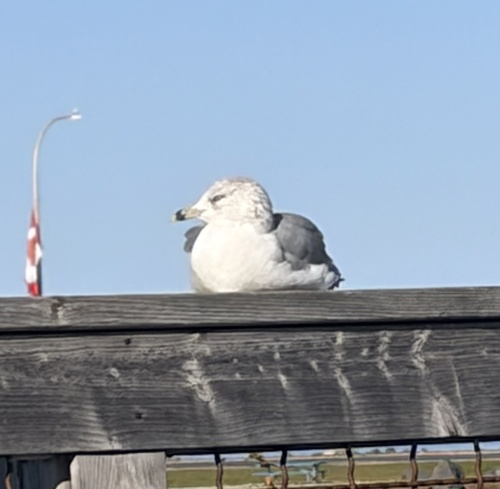
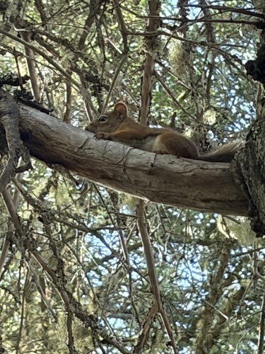
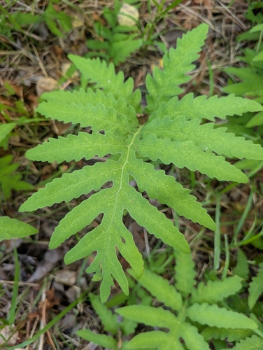
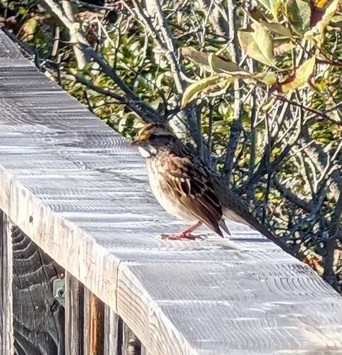
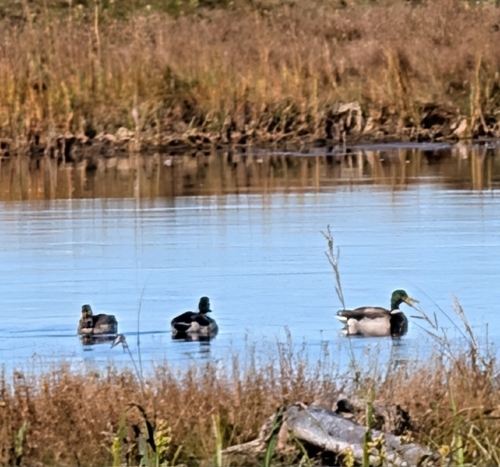
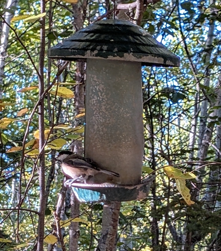
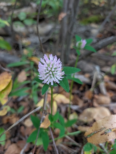
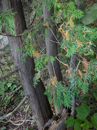
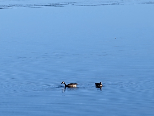
Research-grade observations from iNaturalist (within ~15 mi).
Events
Gallery
Official Identifiers
StatCan — Statistics Canada
- SGC code
- 1315011
- Wikidata
- Q810807
Standard Geographical Classification (SGC) via Wikidata P3012
Sources
- • Wikipedia
- • Wikidata
- • iNaturalist
- • Open-Meteo / sunrise-sunset.org
- • Wikipedia Pageviews API
- • Open Library
- • StatCan — Statistics Canada — Standard Geographical Classification (SGC) via Wikidata P3012