Browse / Canada / Ontario / Beamsville
Beamsville
Ontariotown

Beamsville
Total population
13,323
Founded
1788
Demographic figures from Statistics Canada. Overview below cites Wikipedia and may reference a different year.
City facts
Facts from Wikidata (CC0).
Overview
Beamsville is a community that is part of the town of Lincoln, Ontario, Canada. It is located along the southern shore of Lake Ontario and lies within the fruit belt of the Niagara Peninsula. It contains century-old brick buildings, an old-fashioned downtown area with barbershops, women's dress shops, a bakery, a print shop, restaurants, banks and other businesses, and many orchards and vineyards.
Read more on WikipediaHistory & geography
History
Beamsville was named after Jacob Beam (1723-1812), a United Empire Loyalist. Both of his homes—the original one, on Thirty Mile Creek, and the one near downtown Beamsville—are still intact. Jacob Beam (1723-1812), his wife Anna Catharine (Boughner) Beam (1737-1820) and their daughter Catharine (Beam) Merrell (1766-1842) and son-in-law Samuel Russell Merrell (1757-1835), emigrated to Canada from Hopewell, Sussex County, New Jersey in 1788, and founded Beamsville. By 1869, it was a village of 550 in the Township of Clinton, Lincoln County, on the Great Western Railway. In 1898, hockey players in Beamsville were the first to use a hockey net. In 1917 the Royal Flying Corps established a School of Aerial Fighting on the farmland immediately east of Beamsville. It consisted of a camp, an airfield, and a gunnery range over Lake Ontario. Today an historical plaque at 4222 Sann Road marks the geographical centre of the 300-acre school property. Adjacent to the plaque is an original hangar building. In 1970, the Town of Beamsville was amalgamated with Clinton Township and (half of) Louth Township to form the larger Town of Lincoln.
Excerpted from the corresponding Wikipedia article (CC BY-SA).
Geography
Coordinates & boundaries from the US Census TIGER/Line shapefiles.
Climate
Air quality
Walkability
Amenities nearby
Wildlife & biodiversity
Earthquake history
Photos
Sights & places nearby
Notable people from here


People born within ~10 km, from Wikidata (CC0). Click any name for their Wikipedia article.
Geography & sun
Elevation, sunrise/sunset and daylight from Open-Meteo. Solar climatology from NASA POWER.
Nearby airports
Public attention
Pageview totals from the Wikimedia Pageviews API.
Books about Beamsville


Search results from Open Library.
Recent natural events nearby
Ground air-quality sensors
Recently spotted species
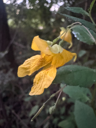
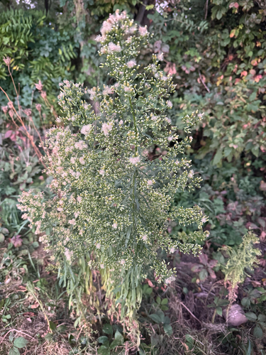
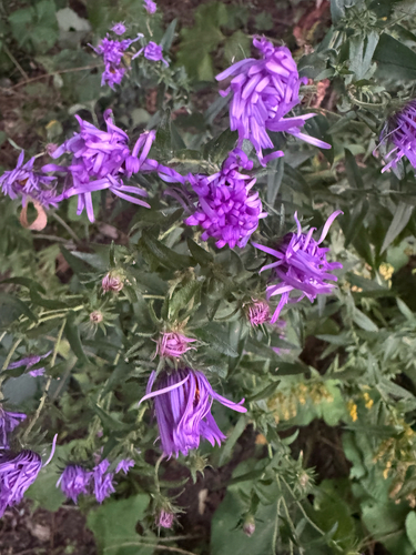
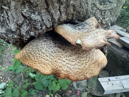
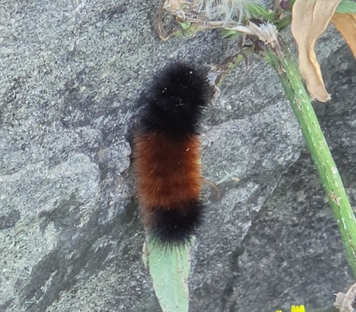
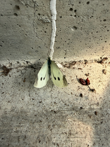
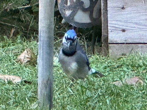
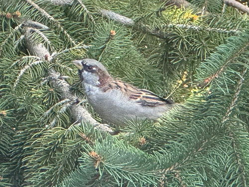
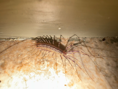
Research-grade observations from iNaturalist (within ~15 mi).
Events
Gallery
Sources
- • Wikipedia
- • Wikidata
- • iNaturalist
- • Open-Meteo / sunrise-sunset.org
- • Wikipedia Pageviews API
- • Open Library