Browse / Canada / Quebec / Bedford
Bedford
Quebectown
Total population
2,900
Founded
1750
Demographic figures from Statistics Canada. Overview below cites Wikipedia and may reference a different year.
City facts
Facts from Wikidata (CC0).
Overview
Within Quebec, Canada, Bedford stands as a town. The population stands at approximately 2,900. Coordinates of 45.121°, -72.989° situate Bedford in the temperate zone of the northern hemisphere. Based on its temperate position, residents likely encounter four distinct seasons with warm summers and cold winters. The location receives about 1,293 kWh/m² of solar irradiance per year and sunshine for roughly 51% of daylight hours. The remainder of this page draws on open public data to describe the area's demographics, climate, environment and nearby amenities.
Summary composed automatically from structured open data on this page. See our Terms for details.
History & geography
History
The area of Bedford has evidence of Indigenous peoples dating back thousands of years. Petroglyphs are found at Bedford Petroglyphs National Historic Site. The Bedford area is known as Kwipek to the Mi'kmaq. On 21 July 1749, Father Le Loutre's War began when Edward Cornwallis arrived to establish Halifax with 13 transports. The British quickly began to build other settlements. To guard against the Acadians, the French, and the Mi'kmaq, British fortifications were erected in Halifax (1749), Bedford (Fort Sackville) (1749), Dartmouth (1750), Lunenburg (1753) and Lawrencetown (1754). The history of Bedford began when Governor Edward Cornwallis organised his men and began the construction of a road leading to Minas Basin on the Bay of Fundy after establishing the garrison at Halifax. To protect it, he hired John Gorham and his Rangers to erect a fort on the shore of Bedford Basin. It was named Fort Sackville after Lionel Sackville, 1st Duke of Dorset. The area around the fort became known as Sackville until the mid-1850s, when it became Bedford. In 1752, among the first to receive a large land grant was military officer George Scott in the Fort Sackville area. Scott later participated in the Expulsion of the Acadians, specifically the St. John River Campaign (1758). His brother, Joseph, was paymaster at the Halifax Garrison in the 1760s, received two grants in 1759 and 1765. And built Scott Manor House in 1770. Anthony Holland established the Acadian Paper Mill on the Basin around 1819 to provide paper to produce the Halifax newspaper Acadian Recorder. When the railway went through the station named Millview, Moirs, Son and Co., a Halifax chocolate manufacturer, moved a part of the factory to Bedford. The Moirs Mill generating station built in the early 1930s to…
Geography
Bedford is approximately from Downtown Halifax. Bedford covers 3,979 hectares (39.79 km2) of land area. As Bedford is quite centralized in the municipality its borders are formed by the community boundaries it shares with its neighbours. To the north are the communities of Lower Sackville, Lakeview and Waverley and Dartmouth are to the east, Halifax and Timberlea to the south and finally Hammonds Plains to the west. Topographically, the area is situated over bedrock, with a high proportion of rockland and exposed bedrock ridges, dotted with many lakes and wetlands. In these ridge terrains, soils are typically dry, shallow, and coarse, and often degraded by a history of repeated wildfire. Bedford has several large lakes including: Marsh Lake, Sandy Lake, Kearney Lake and Paper Mill Lake, the latter being the secondary tributary of the Bedford Basin. The main tributary of the Bedford Basin estuary is the Sackville River. The river has been heavily affected by ongoing development within its watershed and a chronic loss of riparian zones along its shores, especially in downtown Bedford, where the impervious surfaces of shopping centres and strip malls dominate the landscape. The secondary tributary of the Basin flows Paper Mill Lake then through Moirs Mill Pond adjacent to a commercial shopping district at the intersection of the Bedford Highway and Hammonds Plains Road. Both areas are composed almost entirely of impervious surfaces where contaminated stormwater and surface runoff are unable to permeate into the ground and instead flow directly into the Bedford Basin. The developed area of Bedford’s shore line is mainly long the Bedford Bay portion of the basin. It consists of a public waterfront boardwalk through a 1 km portion of DeWolf Park and follows…
Excerpted from the corresponding Wikipedia article (CC BY-SA).
Geography
Coordinates & boundaries from the US Census TIGER/Line shapefiles.
Climate
Air quality
Walkability
Amenities nearby
Wildlife & biodiversity
Earthquake history
Photos
Sights & places nearby
Notable people from here
Nearby places in Quebec
- Notre-Dame de Stanbridge4 mi away
- Saint-Armand6.6 mi away
- Philipsburg7.1 mi away
- Sainte-Sabine7.4 mi away
- Dunham9.2 mi away
- Cowansville13.2 mi away · pop. 15,234
- Sainte-Brigide-d'Iberville14.5 mi away
- Ange-Gardien16.3 mi away
- Saint-Valentin16.4 mi away
- Saint-Alphonse-de-Granby16.7 mi away
- Mont-Saint-Grégoire17.1 mi away
- Sainte-Angèle-de-Monnoir19.5 mi away
Geography & sun
Elevation, sunrise/sunset and daylight from Open-Meteo. Solar climatology from NASA POWER.
Nearby airports
Public attention
Pageview totals from the Wikimedia Pageviews API.
Books about Bedford


Search results from Open Library.
Recent natural events nearby
Ground air-quality sensors
Recently spotted species


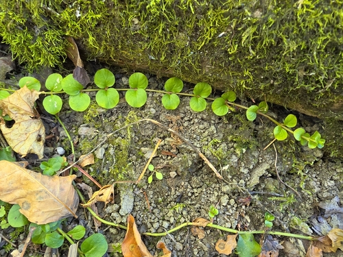

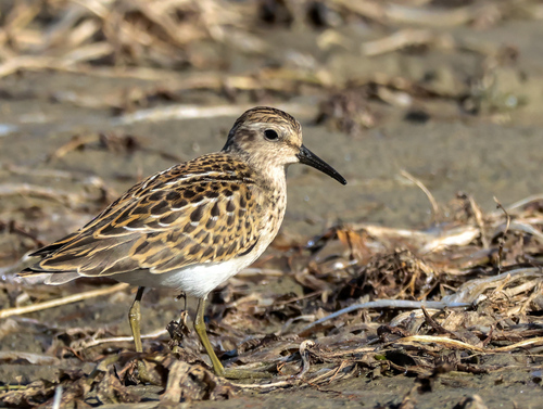
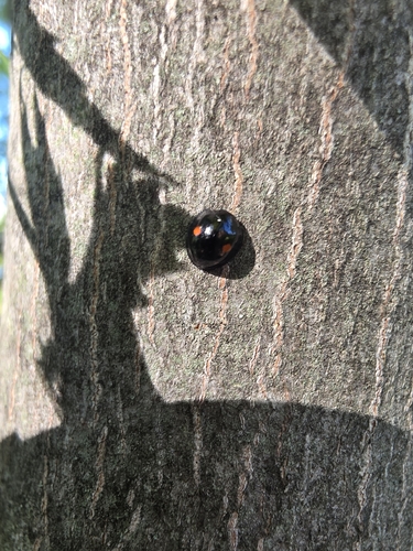
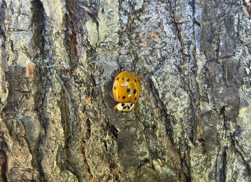

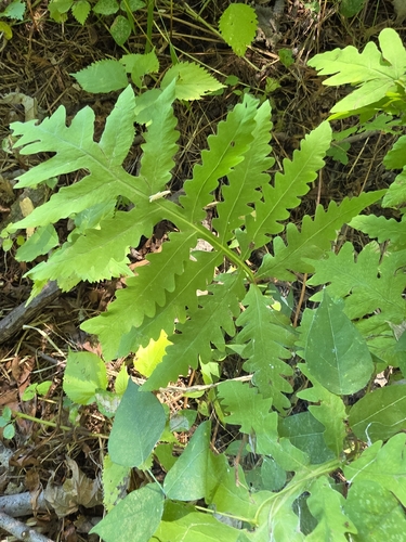
Research-grade observations from iNaturalist (within ~15 mi).
Events
Gallery
Sources
- • Wikipedia
- • Wikidata
- • iNaturalist
- • Open-Meteo / sunrise-sunset.org
- • Wikipedia Pageviews API
- • Open Library