Browse / United States / California / Berkeley
Berkeley
Californiacity

Berkeley
Total population
121,730
Median home value
$1,429,700
Bachelor's+
Median income
$103,727
Air quality index
Demographic figures from US Census Bureau · ACS 5-year estimates. Overview below cites Wikipedia and may reference a different year.
City facts
Overview
Berkeley is a city on the eastern shore of San Francisco Bay in northern Alameda County, California, United States. It is named after the 18th-century Anglo-Irish bishop and philosopher George Berkeley. It borders the cities of Oakland and Emeryville to the south and the city of Albany and the unincorporated community of Kensington to the north. Its eastern border with Contra Costa County generally follows the ridge of the Berkeley Hills. The 2020 census recorded a population of 124,321.
Read more on WikipediaHistory & geography
History
The site of today's City of Berkeley was the territory of the Chochenyo/Huchiun Ohlone people when the first Europeans arrived. Evidence of their existence in the area include pits in rock formations, which they used to grind acorns, wildflower seeds, grass seeds, and many different foods, including squirrel fat, and a shellmound, now mostly leveled and covered up, along the shoreline of San Francisco Bay at the mouth of Strawberry Creek. Human remains and skeletons from Native American burials have been unearthed in West Berkeley and on campus alongside Strawberry Creek. Other artifacts were discovered in the 1950s in the downtown area during remodeling of a commercial building, near the upper course of the creek. The first people of European descent (most of whom were of mixed race and born in America) arrived with the De Anza Expedition in 1776. The De Anza Expedition led to establishment of the Spanish Presidio of San Francisco at the entrance to San Francisco Bay (the "Golden Gate)." Luis Peralta was among the soldiers at the Presidio. For his services to the King of Spain, he was granted a vast stretch of land on the east shore of San Francisco Bay (the contra costa, "opposite shore") for a ranch, including that portion that now comprises the City of Berkeley. Luis Peralta named his holding "Rancho San Antonio." The primary activity of the ranch was raising cattle for meat and hides, but hunting and farming were also pursued. Eventually, Peralta gave portions of the ranch to each of his four sons. What is now Berkeley lies mostly in the portion that went to Peralta's son Domingo, with a little in the portion that went to another son, Vicente. No artifact survives of the Domingo or Vicente ranches, but their names survive in Berkeley street names (Vicente,…
Geography
According to the United States Census Bureau, the city's area includes of land and (40.83%) water, most of it part of San Francisco Bay. Berkeley borders the cities of Albany, Oakland, and Emeryville and Contra Costa County, including unincorporated Kensington, as well as San Francisco Bay. Berkeley lies within telephone area code 510 (until September 2, 1991, Berkeley was part of the 415 telephone code that now covers only San Francisco and Marin counties), and the postal ZIP codes are 94701 through 94710, 94712, and 94720 for the University of California campus. Moreover, like much of the Bay Area, Berkeley has many areas of some risk to soil liquefaction, with the flat areas closer to the shore at low to high susceptibility. The 1868 Hayward earthquake did occur on the southern segment of the Hayward Fault in the vicinity of today's city of Hayward. This quake destroyed the county seat of Alameda County then located in San Leandro, and it subsequently moved to Oakland. It was strongly felt in San Francisco, causing major damage. It was regarded as the "Great San Francisco earthquake" prior to 1906. It produced a furrow in the ground along the fault line in Berkeley, across the grounds of the new State Asylum for the Deaf, Dumb and Blind then under construction, which was noted by one early University of California professor. Although no significant damage was reported to most of the few Berkeley buildings of the time, the 1868 quake did destroy the vulnerable adobe home of Domingo Peralta in north Berkeley. Today, evidence of the Hayward Fault's "creeping" is visible at various locations in Berkeley. Cracked roadways, sharp jogs in streams, and springs mark the fault's path. However, since it cuts across the base of the hills, the creep is often concealed by…
Excerpted from the corresponding Wikipedia article (CC BY-SA).
Demographics & economy
Race & ethnicity
Source: US Census Bureau — American Community Survey, 5-year estimates.
Geography
Coordinates & boundaries from the US Census TIGER/Line shapefiles.
Climate
Current forecast
Forecast for Berkeley, CA from NOAA NWS API.
Air quality
Current readings from Open-Meteo Air Quality API (Copernicus CAMS European reanalysis).
Industrial & pollution facilities
Natural hazard risk
Health (adults)
Age-adjusted prevalence estimates from CDC PLACES (latest release).
Walkability
Amenities nearby
Wildlife & biodiversity
Most-observed species
- Anna's HummingbirdCalypte anna (R.Lesson, 1829) · Aves134,805
- American CrowCorvus brachyrhynchos C.L.Brehm, 1822 · Aves125,651
- House FinchHaemorhous mexicanus (P.L.Statius Müller, 1776) · Aves114,018
- California TowheeMelozone crissalis (Vigors, 1839) · Aves100,133
- White-crowned SparrowZonotrichia leucophrys (J.R.Forster, 1772) · Aves93,789
- Black PhoebeSayornis nigricans (Swainson, 1827) · Aves93,554
- Dark-eyed JuncoJunco hyemalis (Linnaeus, 1758) · Aves91,705
- Song SparrowMelospiza melodia (A.Wilson, 1810) · Aves90,976
Citizen-science & research observations from the Global Biodiversity Information Facility (GBIF).
Schools
Largest nearby schools
- Berkeley HighHigh · Berkeley · 3,204 students · 17.9:1 ratio
- Alameda HighHigh · Alameda · 1,802 students · 24:1 ratio
- Oakland Technical HighHigh · Oakland · 1,796 students · 18.1:1 ratio
- Skyline HighHigh · Oakland · 1,590 students · 17.3:1 ratio
- Oakland HighHigh · Oakland · 1,531 students · 17.6:1 ratio
- Encinal Junior/Senior HighHigh · Alameda · 1,158 students · 22.7:1 ratio
- Albany HighHigh · Albany · 1,151 students · 18.3:1 ratio
- Fremont HighHigh · Oakland · 1,146 students · 16.9:1 ratio
Public K–12 schools within ~10 mi from Urban Institute Education Data Portal (NCES Common Core of Data, 2022).
Earthquake history
Most recent
- M 2.62 — 2026-09-1721 km E of Alum Rock, CA
- M 2.67 — 2026-09-163 km ESE of Santa Rosa, CA
- M 2.99 — 2026-09-149 km SW of Brentwood, CA
- M 2.55 — 2026-09-139 km SW of Brentwood, CA
- M 3.36 — 2026-09-129 km SW of Brentwood, CA
- M 2.53 — 2026-09-102 km ESE of Oakland, CA
Events from the USGS Earthquake Catalog (global) (FDSN Event Web Service).
Photos
Sights & places nearby
Notable people from here


People born within ~10 km, from Wikidata (CC0). Click any name for their Wikipedia article.
Nearby places in California
- Piedmont4.8 mi away
- East Richmond Heights5.5 mi away
- Rollingwood7.1 mi away · pop. 3,627
- Orinda7.2 mi away
- El Sobrante7.5 mi away
- North Richmond7.9 mi away
- Pinole9.5 mi away
- Moraga9.7 mi away
- Alhambra Valley11.3 mi away · pop. 979
- Reliez Valley11.9 mi away
- Port Costa13.8 mi away
- Contra Costa Centre14 mi away · pop. 6,893
Geography & sun
Elevation, sunrise/sunset and daylight from Open-Meteo. Solar climatology from NASA POWER.
Nearby airports
Public attention
Pageview totals from the Wikimedia Pageviews API.
Books about Berkeley
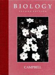


Search results from Open Library.
Recent natural events nearby
- Wildfire GANN, Calaveras, CaliforniaWildfires · 2026-08-03 · 85 mi
- Wildfire LUCAS, Lake, CaliforniaWildfires · 2026-09-10 · 102 mi
- Wildfire LUCAS, Lake, CaliforniaWildfires · 2026-09-10 · 102 mi
- Wildfire Timber, Monterey, CaliforniaWildfires · 2026-08-09 · 118 mi
- Wildfire Plaskett, Monterey, CaliforniaWildfires · 2026-08-26 · 144 mi
- Wildfire DOME, Mariposa, CaliforniaWildfires · 2026-09-15 · 148 mi
- Wildfire FLORISTON, Nevada, CaliforniaWildfires · 2026-09-16 · 162 mi
- Wildfire Bull, Washoe, NevadaWildfires · 2026-10-02 · 170 mi
Wildfires, storms and other events from NASA EONET (last 12 months, within 250 mi).
Ground air-quality sensors
Recently spotted species
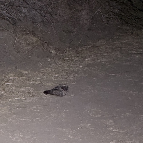
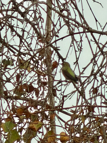
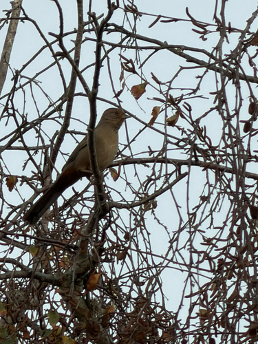
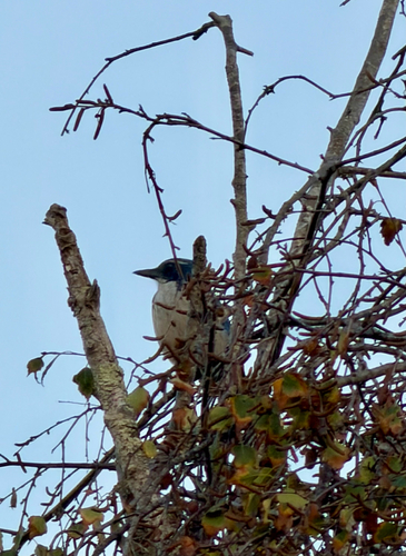
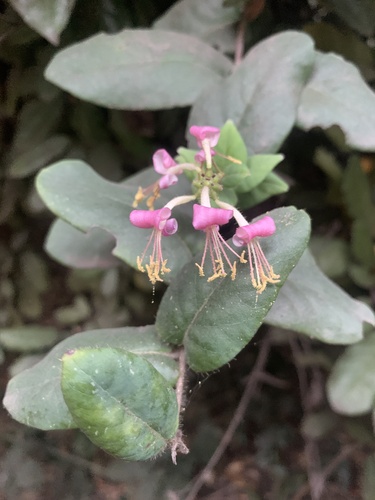
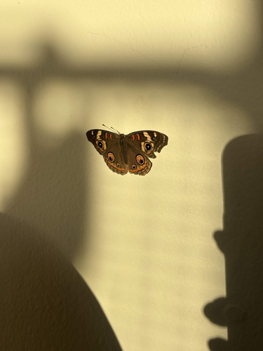
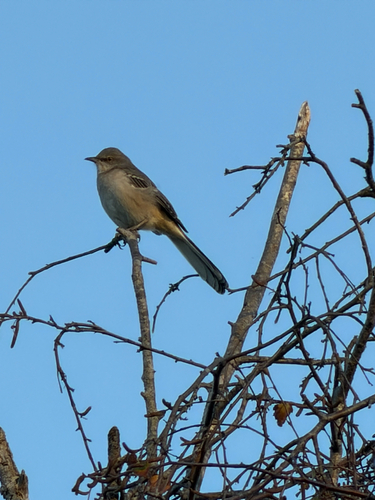
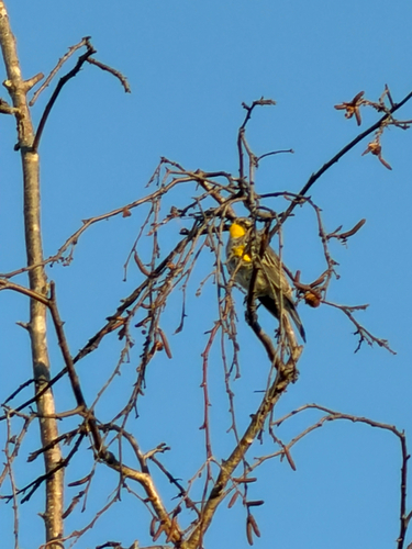
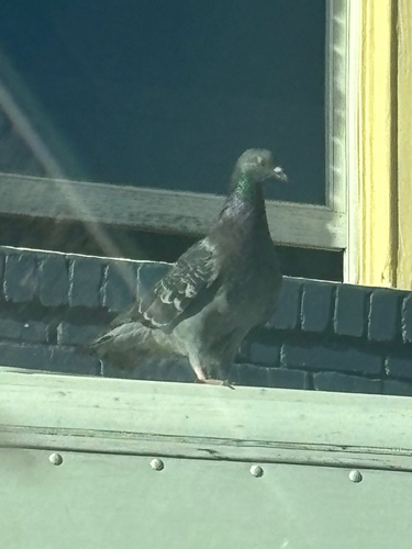
Research-grade observations from iNaturalist (within ~15 mi).
Nearest stream gauge
Live readings from USGS NWIS · measured 2026-10-16 06:30 UTC.
Events
Notable, recurring, and historical events associated with Berkeley, sourced from Wikidata.
- 149th National Puzzlers' League conventionJul 1, 1988recurring event edition
- Aug 29, 1968
Source: Wikidata (CC0).
Gallery
Sources
- • Wikipedia
- • US Census Bureau (ACS 5-year estimates)
- • NOAA National Weather Service
- • Wikidata
- • Open-Meteo Air Quality (CAMS)
- • USGS Earthquake Catalog (global feed)
- • USGS NWIS (water data)
- • NCES via Urban Institute Education Data Portal
- • GBIF (Global Biodiversity Information Facility)
- • iNaturalist
- • CDC PLACES
- • Open-Meteo / sunrise-sunset.org
- • Wikipedia Pageviews API
- • Open Library
- • NASA EONET