Browse / Canada / Alberta / Big Valley
Big Valley
Albertavillage

Big Valley
Founded
1907
Demographic figures from Statistics Canada. Overview below cites Wikipedia and may reference a different year.
City facts
Facts from Wikidata (CC0).
Overview
Big Valley is a village in central Alberta, Canada that is southeast of Red Deer. It is located 32 km (20 mi) south of Stettler and 64 km (40 mi) north of Drumheller on Highway 56 in the County of Stettler No. 6.
Read more on WikipediaHistory & geography
History
Big Valley Alberta began to be settled even before 1910; people realized the value of the rich soil and natural grass known as Prairie Wool. Settlers began cattle farming operations and the town expanded. The Imperial Lease of land south-east of Big Valley consisted of thousands of acres of land owned by Pat Burns. Most of the land became an ecological reserve to preserve its natural flora. In 1911 the Canadian Northern Railway (CNoR) began to lay track through Big Valley. In 1912 Big Valley built a thriving terminal with a big roundhouse, stockyards, rail yards, water tower, coal-dock, general railway maintenance and repair facilities. It became a village in 1914 with a population of 500 growing to 803 in 1920 when it became a town. After the merger of Canadian Northern Railway and Grand Trunk Pacific railways to create Canadian National Railway (CNR) they believed there was no need of a railway to go through Big Valley. There are still the remains of the railway you can see with a walking self-tour. In November 1986 Central Western Railway Corp. (later Railink) purchased the portion of CNR track from Ferlow Junction (seven miles south of Camrose) to Munson Junction (about north of Drumheller). They began to haul grain along these lines from elevator to elevator on a regular basis. Railink has sold most of the line to a salvage company and now the tracks extend from Stettler to Big Valley. This remaining portion is owned by a group named the East Central Alberta Heritage Society (ECHAC). Alberta Prairie Steam Tours (a Stettler-based group) rents the use of the track, from ECHAC, for their steam train excursions. Early explorers discovered coal along the dramatic cut banks of the Red Deer River—about west of Big Valley. Several small mines were later…
Geography
Big Valley is in central Alberta. The Village of Big Valley is located south of Stettler and is a busy little community one kilometre off Highway 56. Big Valley is centrally located in the southern part of the Battle River Tourist zone. Big Valley has seen a 10.4% increase in population over the period of 1996 and 2001. *32 km south of Stettler on Highway 56 *60 km north of Drumheller on Highway 56 *80 km east of Innisfail on Highway 590 *204 km southeast of Edmonton
Excerpted from the corresponding Wikipedia article (CC BY-SA).
Geography
Coordinates & boundaries from the US Census TIGER/Line shapefiles.
Climate
Air quality
Walkability
Amenities nearby
Wildlife & biodiversity
Earthquake history
Photos
Sights & places nearby
Notable people from here
People born within ~10 km, from Wikidata (CC0). Click any name for their Wikipedia article.
Nearby places in Alberta
- Fenn7.3 mi away
- Rumsey13.8 mi away
- East River Hutterite Colony13.8 mi away
- Huxley Hutterite Colony15.9 mi away
- Gadsby Hutterite Colony18.7 mi away
- Blue Sky Hutterite Colony19.6 mi away
- Erskine Hutterite Colony19.7 mi away
- Erskine20.5 mi away
- Huxley21.8 mi away
- Whitesand Hutterite Colony22.1 mi away
- Byemoor Hutterite Colony23.5 mi away
- Lone Pine Hutterite Colony24.3 mi away
Geography & sun
Elevation, sunrise/sunset and daylight from Open-Meteo. Solar climatology from NASA POWER.
Nearby airports
Public attention
Pageview totals from the Wikimedia Pageviews API.
Books about Big Valley


Search results from Open Library.
Recent natural events nearby
Ground air-quality sensors
Recently spotted species
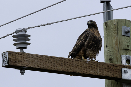
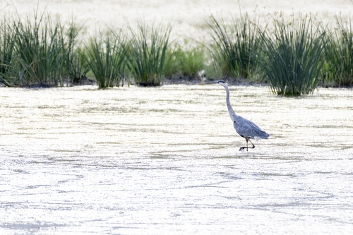
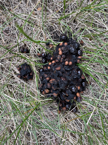
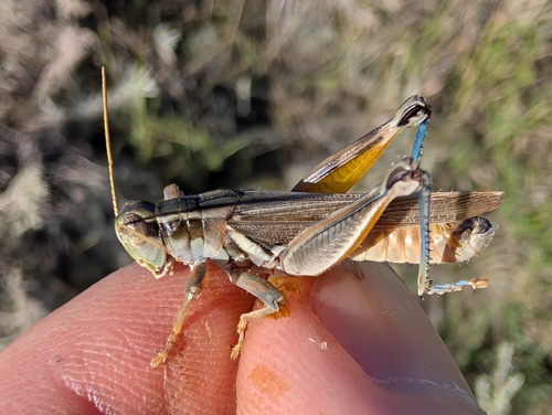
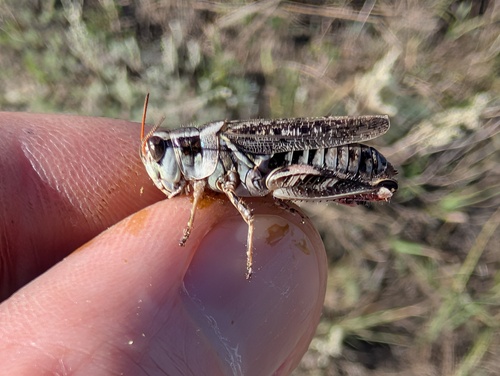
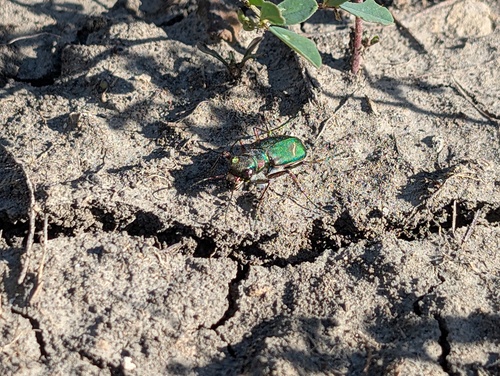
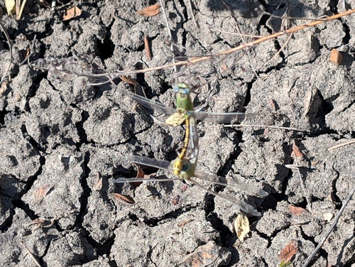
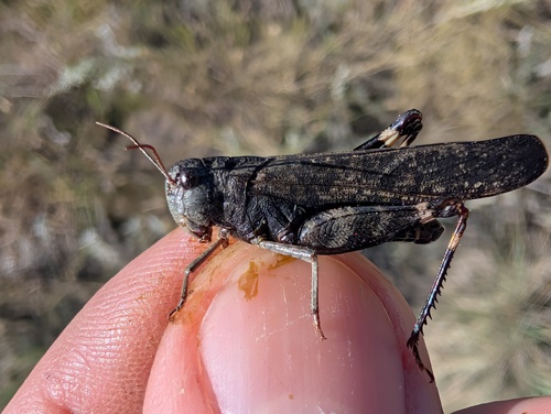
Research-grade observations from iNaturalist (within ~15 mi).
Events
Gallery
Official Identifiers
StatCan — Statistics Canada
- SGC code
- 4807021
- Population (Wikidata)
- 331
- Wikidata
- Q2488979
Standard Geographical Classification (SGC) via Wikidata P3012
Sources
- • Wikipedia
- • Wikidata
- • iNaturalist
- • Open-Meteo / sunrise-sunset.org
- • Wikipedia Pageviews API
- • Open Library
- • StatCan — Statistics Canada — Standard Geographical Classification (SGC) via Wikidata P3012