Browse / Canada / Manitoba / Boissevain
Boissevain
Manitobatown

Boissevain
Demographic figures from Statistics Canada. Overview below cites Wikipedia and may reference a different year.
City facts
Overview
Boissevain is an unincorporated urban community in Manitoba near the North Dakota border that held town status prior to 2015. It is located within the Municipality of Boissevain – Morton. Boissevain is a community of just over 1,500 people and it is located between Killarney and Deloraine on the east and west and Brandon to the north. The population of the surrounding area, within a 50 kilometre radius of the community, is about 15,000.
Read more on WikipediaHistory & geography
History
Work began along the anticipated route of the Canadian Pacific Railway in 1874, surveyors were impressed with the Turtle Mountain region and noted it would become a chief point of settlement in the coming years. The site of the town of Boissevain was decided by the CPR in 1885. By 1886 there was a blacksmith shop, a post office and two grain warehouses. As pioneer life transitioned to the comforts of a growing town, many new buildings, schools and churches were built. One of the prominent buildings constructed was the St. Matthew's Anglican Church, built with granite walls found in the local fields. Sandstone was also discovered nearby by the earlier surveyors. The sandstone was used to construct another place of worship and local landmark, the St. Paul's United Church which was completed in 1893. Like many towns in the west, Boissevain's prosperity came with the railway, in this case the CPR line was the first to arrive in 1885. Three other additional railways in the area, including the Great Northern Railway through the railway's subsidiary organized under the name of the "Brandon, Saskatchewan and Hudson Bay Railway", which meant that farmers could now ship their goods to the United States in the south while also having a link with Brandon to the north. The railways began to decline during The Great Depression and with it the fortunes of Boissevain. The Great Northern line ended service in 1936.
Excerpted from the corresponding Wikipedia article (CC BY-SA).
Geography
Coordinates & boundaries from the US Census TIGER/Line shapefiles.
Climate
Air quality
Walkability
Amenities nearby
Wildlife & biodiversity
Earthquake history
Photos
Sights & places nearby
Notable people from here
Nearby places in Manitoba
Geography & sun
Elevation, sunrise/sunset and daylight from Open-Meteo. Solar climatology from NASA POWER.
Nearby airports
Public attention
Pageview totals from the Wikimedia Pageviews API.
Books about Boissevain

Search results from Open Library.
Recent natural events nearby
Ground air-quality sensors
Recently spotted species
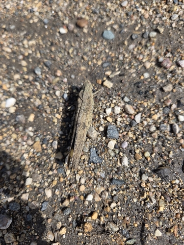


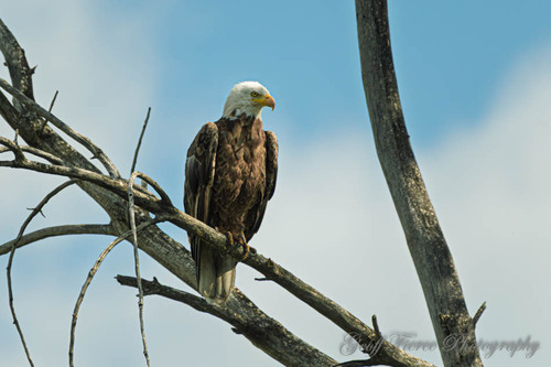
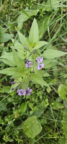
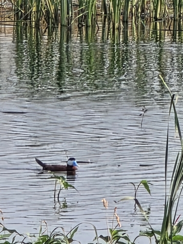
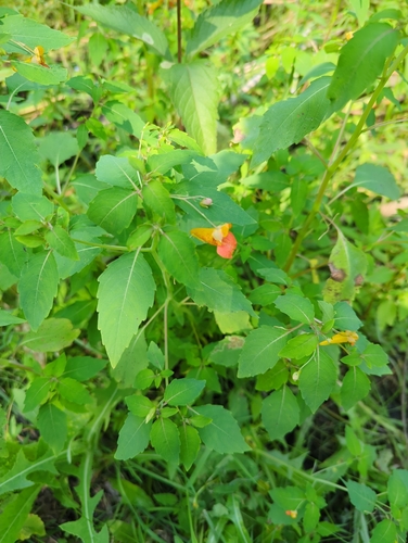
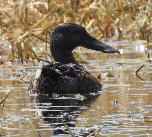
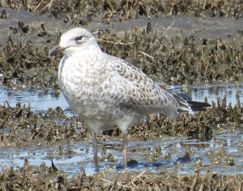
Research-grade observations from iNaturalist (within ~15 mi).
Events
Gallery
Sources
- • Wikipedia
- • iNaturalist
- • Open-Meteo / sunrise-sunset.org
- • Wikipedia Pageviews API
- • Open Library