Browse / Canada / Prince Edward Island / Borden-Carleton
Borden-Carleton
Prince Edward Islandtown

Borden-Carleton
Total population
724
Founded
1995
Demographic figures from Statistics Canada. Overview below cites Wikipedia and may reference a different year.
City facts
Facts from Wikidata (CC0).
Overview
Borden-Carleton is a town in Prince County in the Canadian province of Prince Edward Island. It is situated on the south shore fronting on the Northumberland Strait. The town was originally incorporated as a community on April 12, 1995, through the amalgamation of the town of Borden and the community of Carleton. The town of Borden opted to demote its status to a community in light of a declining tax base with the pending completion of the Confederation Bridge and the closure of the Marine Atlantic ferry service. Borden-Carleton became a town on July 31, 2012.
Read more on WikipediaHistory & geography
History
Borden traces its history to Prince Edward Island's requirements for transportation to mainland North America, whereas Carleton was a surrounding farming community to the north and west of the port. Borden's development is related to the fall of fortunes for another nearby community during the First World War. A winter iceboat service crossed the Abegweit Passage between nearby Cape Traverse to Cape Tormentine, New Brunswick for many decades during the 19th century and early 20th century. The Prince Edward Island Railway built a line from its mainline near Emerald Junction to the Cape Traverse wharf to facilitate this traffic in the 1880s. By the 20th century, the federal government began to face the reality of an unreliable winter iceboat service, which existed primarily due to the Dominion having failed to meet its obligation to provide "continuous steamship service" under the Prince Edward Island Terms of Union, when the province entered Confederation in 1873. As a result, the federal government announced in 1912 that it had commissioned the construction of a custom-designed railcar ferry, the SS Prince Edward Island at a shipyard in Newcastle upon Tyne, England. The new ferry, to be operated by Canadian Government Railways (later merged into the Canadian National Railways system), was to operate from a new year-round port to be built at Carleton Point, several kilometres west of Cape Traverse; the harbour at Cape Traverse having been deemed unsuitable for a deep draught vessel due to siltation and the need for continuous dredging, despite being the most direct point on Prince Edward Island opposite Cape Tormentine. The SS Prince Edward Island arrived in the Northumberland Strait in 1915 during the early years of the war but the port at Carleton Point had not…
Excerpted from the corresponding Wikipedia article (CC BY-SA).
Geography
Coordinates & boundaries from the US Census TIGER/Line shapefiles.
Climate
Air quality
Walkability
Amenities nearby
Wildlife & biodiversity
Most-observed species
- American CrowCorvus brachyrhynchos C.L.Brehm, 1822 · Aves1,969
- Song SparrowMelospiza melodia (A.Wilson, 1810) · Aves1,369
- American herring gull, Smithsonian GullLarus smithsonianus Coues, 1862 · Aves1,318
- European StarlingSturnus vulgaris Linnaeus, 1758 · Aves1,247
- Black-capped ChickadeePoecile atricapillus (Linnaeus, 1766) · Aves1,100
- Double-crested CormorantPhalacrocorax auritus (Lesson, 1831) · Aves1,073
- Blue JayCyanocitta cristata (Linnaeus, 1758) · Aves952
- Ring-billed GullLarus delawarensis Ord, 1815 · Aves832
Citizen-science & research observations from the Global Biodiversity Information Facility (GBIF).
Earthquake history
Events from the USGS Earthquake Catalog (global) (FDSN Event Web Service).
Photos
Sights & places nearby
Notable people from here


People born within ~10 km, from Wikidata (CC0). Click any name for their Wikipedia article.
Nearby places in Prince Edward Island
- Harmony25.1 mi away
- Derby35.7 mi away
- Summerville44.8 mi away
- Burton47 mi away
- Souris69.2 mi away · pop. 1,232
- Vila dos Remédios3954.5 mi away · pop. 3,167
- Vila Serrânia3973.1 mi away
- Serra do Cavaco3973.7 mi away
- Serra do Rancho Grande3974.9 mi away
- Serra da Rodagem3974.9 mi away
- Sítio Serra Palma3975.5 mi away
- Serra do Jardim II3978 mi away
Geography & sun
Elevation, sunrise/sunset and daylight from Open-Meteo. Solar climatology from NASA POWER.
Nearby airports
Public attention
Pageview totals from the Wikimedia Pageviews API.
Books about this place
Recent natural events nearby
Ground air-quality sensors
Recently spotted species

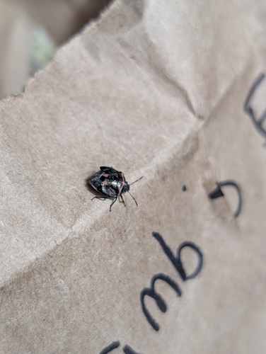

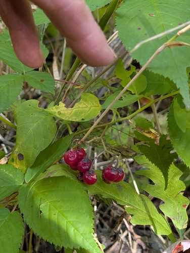
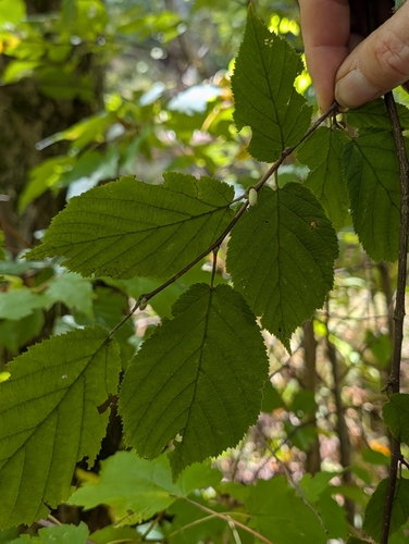
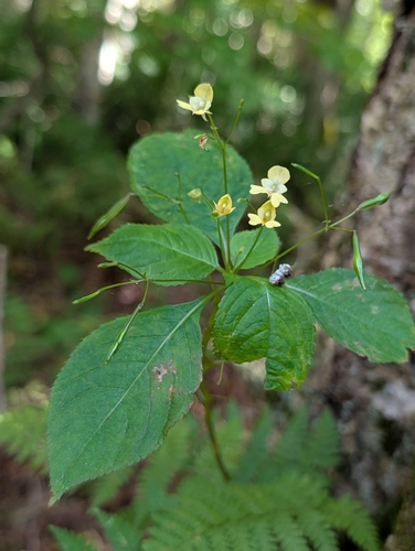
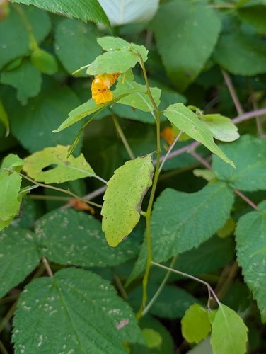

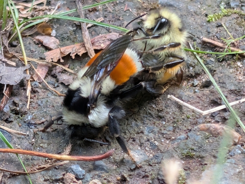
Research-grade observations from iNaturalist (within ~15 mi).
Events
Gallery
Official Identifiers
StatCan — Statistics Canada
- SGC code
- 1103005
- Wikidata
- Q2910716
Standard Geographical Classification (SGC) via Wikidata P3012
Sources
- • Wikipedia
- • Wikidata
- • USGS Earthquake Catalog (global feed)
- • GBIF (Global Biodiversity Information Facility)
- • iNaturalist
- • Open-Meteo / sunrise-sunset.org
- • Wikipedia Pageviews API
- • StatCan — Statistics Canada — Standard Geographical Classification (SGC) via Wikidata P3012