Browse / United States / California / Boron
Boron
CaliforniaCDP

Boron
Total population
2,698
Median home value
$148,600
Bachelor's+
Median income
$53,170
Demographic figures from US Census Bureau · ACS 5-year estimates. Overview below cites Wikipedia and may reference a different year.
City facts
Facts from Wikidata (CC0).
Overview
Boron is an unincorporated place in Kern County, California, United States. Boron is 15 miles (24 km) southwest of Red Rock Mountain at an elevation of 2,467 feet (752 m). For statistical purposes, the United States Census Bureau has defined Boron as a census-designated place (CDP). The population was 2,086 at the 2020 census, up from 2,025 at the 2000 census. Boron is named after the element boron and is the site of the world's largest source of the boron compound boric acid.
Read more on WikipediaHistory & geography
History
Borate evaporites in the form of colemanite was first reported in 1913 during drilling of a water well. Claims were acquired by the Pacific Coast Borax Company and exploration continued. In 1925 commercial colemanite production began. In the 1920s and 30s borates were produced from the Baker and West Baker mines. The first post office at Boron opened in 1938.
Geography
Boron is on the border of Kern and San Bernardino Counties along State Route 58. Boron is north of Palmdale, east of Bakersfield, and west of Barstow in the Antelope Valley region of California's Mojave Desert. According to the United States Census Bureau, the CDP has a total area of , over 99 percent of which is land.
Excerpted from the corresponding Wikipedia article (CC BY-SA).
Demographics & economy
Race & ethnicity
Source: US Census Bureau — American Community Survey, 5-year estimates.
Geography
Coordinates & boundaries from the US Census TIGER/Line shapefiles.
Climate
Current forecast
Forecast for Boron, CA from NOAA NWS API.
Air quality
Industrial & pollution facilities
Natural hazard risk
Health (adults)
Age-adjusted prevalence estimates from CDC PLACES (latest release).
Walkability
Amenities nearby
Wildlife & biodiversity
Schools
Largest nearby schools
- West Boron ElementaryElementary · Boron · 290 students · 22.3:1 ratio
- Boron Junior-Senior HighHigh · Boron · 250 students · 15.6:1 ratio
Public K–12 schools within ~10 mi from Urban Institute Education Data Portal (NCES Common Core of Data, 2022).
Earthquake history
Photos
Sights & places nearby
Notable people from here

People born within ~10 km, from Wikidata (CC0). Click any name for their Wikipedia article.
Geography & sun
Elevation, sunrise/sunset and daylight from Open-Meteo. Solar climatology from NASA POWER.
Nearby airports
Public attention
Pageview totals from the Wikimedia Pageviews API.
Books about Boron
Search results from Open Library.
Recent natural events nearby
- Wildfire RIDGE, Los Angeles, CaliforniaWildfires · 2026-08-07 · 68 mi
- Wildfire BUZZARD, Kern, CaliforniaWildfires · 2026-08-05 · 72 mi
- Prescribed Fire CRAWFORD CORRAL RX, Tulare, CaliforniaWildfires · 2026-09-19 · 132 mi
- Wildfire PLAINS, San Luis Obispo, CaliforniaWildfires · 2026-08-12 · 135 mi
- Wildfire DOME, Mariposa, CaliforniaWildfires · 2026-09-15 · 207 mi
- Wildfire Plaskett, Monterey, CaliforniaWildfires · 2026-08-26 · 220 mi
- Wildfire Timber, Monterey, CaliforniaWildfires · 2026-08-09 · 242 mi
Wildfires, storms and other events from NASA EONET (last 12 months, within 250 mi).
Ground air-quality sensors
Recently spotted species
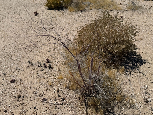
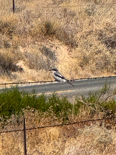
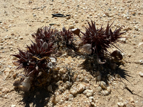
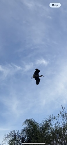
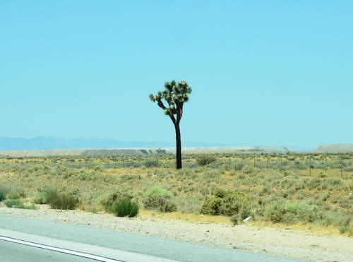
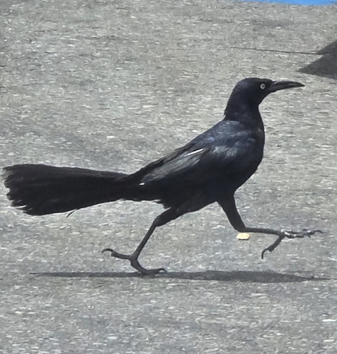
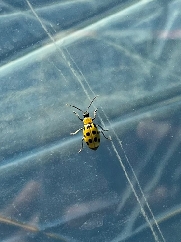
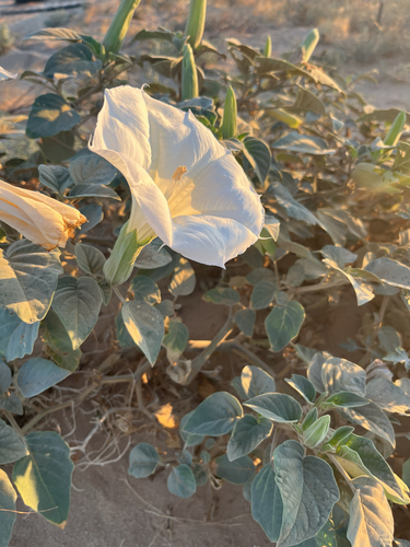
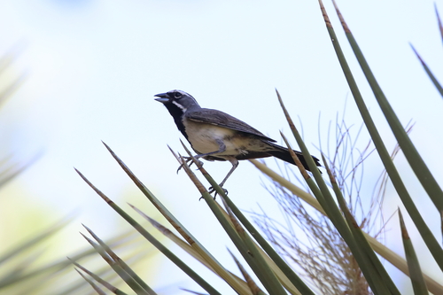
Research-grade observations from iNaturalist (within ~15 mi).
Nearest stream gauge
Live readings from USGS NWIS · measured 2026-10-01 16:30 UTC.
Events
Gallery
Sources
- • Wikipedia
- • US Census Bureau (ACS 5-year estimates)
- • NOAA National Weather Service
- • Wikidata
- • USGS NWIS (water data)
- • NCES via Urban Institute Education Data Portal
- • iNaturalist
- • CDC PLACES
- • Open-Meteo / sunrise-sunset.org
- • Wikipedia Pageviews API
- • Open Library
- • NASA EONET