Browse / Canada / Newfoundland and Labrador / Botwood
Botwood
Newfoundland and Labradortown

Botwood
Demographic figures from Statistics Canada. Overview below cites Wikipedia and may reference a different year.
City facts
Facts from Wikidata (CC0).
Overview
Botwood is a town in north-central Newfoundland, Newfoundland and Labrador, Canada in Census Division 6. It is positioned on the west shore of the Bay of Exploits on a natural deep-water harbour. Historically, this harbour has been a significant hub for cargo ships and seaplanes. Botwood served as the North American endpoint for the first transatlantic commercial flights.
Read more on WikipediaHistory & geography
History
The region now known as Botwood was part of the territory of the Beothuk people. Botwood holds a significant place in Beothuk history due to Demasduit, also known as Mary March. She was one of the last known Beothuk, captured near Beothuk Lake in 1819. Despite efforts to reunite Demasduit with her people, she contracted tuberculosis and died in Botwood Harbour in January 1820. Permanent European settlement in Botwood began in the mid-to-late 19th century, following earlier European settlement at the mouth of the nearby Exploits River. By the end of the 19th century, the town's economy was heavily reliant on the lumber industry. This is supported by the 1891 census, which, when combining the totals from the three areas now constituting Botwood (Botwoodville, Killick Island, and Peter's Arm), recorded a total population of 173, with 38 residents working as loggers. The growth of the lumber industry in Botwood can be largely attributed to Rev. Edward Botwood. His initiative in securing timber rights across the Exploits River Valley attracted the Gooday Company to set up a significant sawmill operation in Ship Cove, later renamed Botwoodville in his honor. This mill produced approximately 45,000 board feet of lumber daily, primarily for export to England. In 1908, construction began on the Botwood Railway; the railway ran between Bishop's Falls and Botwood. It was a joint effort between the A.N.D. Company and the A. E. Reed Company of Bishop's Falls. It was to be the transportation link for the export of pulp and paper from the newly built mill at Grand Falls. The railway became operational by the fall of 1909, and the first shipment of paper from the new mill was sent in February 1910. The A.N.D. Company took control of the railway operation in 1910, just a year after…
Excerpted from the corresponding Wikipedia article (CC BY-SA).
Geography
Coordinates & boundaries from the US Census TIGER/Line shapefiles.
Climate
Air quality
Walkability
Amenities nearby
Wildlife & biodiversity
Earthquake history
Photos
Sights & places nearby
Notable people from here
People born within ~10 km, from Wikidata (CC0). Click any name for their Wikipedia article.
Geography & sun
Elevation, sunrise/sunset and daylight from Open-Meteo. Solar climatology from NASA POWER.
Nearby airports
Public attention
Pageview totals from the Wikimedia Pageviews API.
Books about Botwood

Search results from Open Library.
Recent natural events nearby
Ground air-quality sensors
Recently spotted species
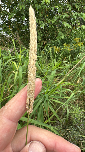
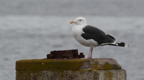
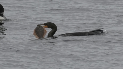
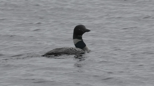
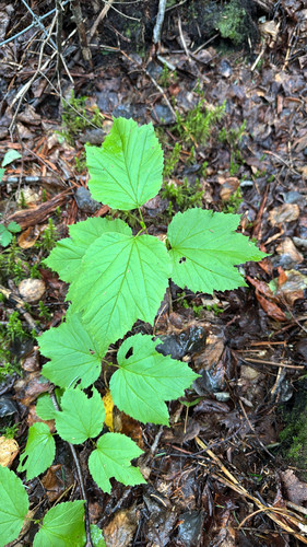
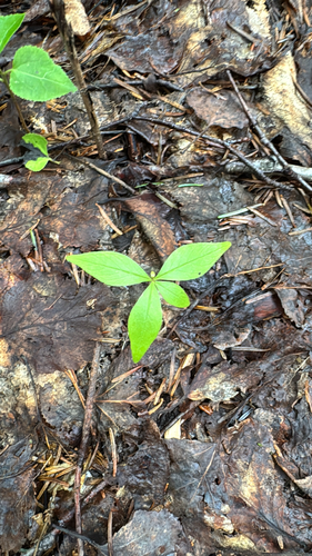

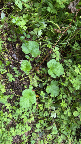
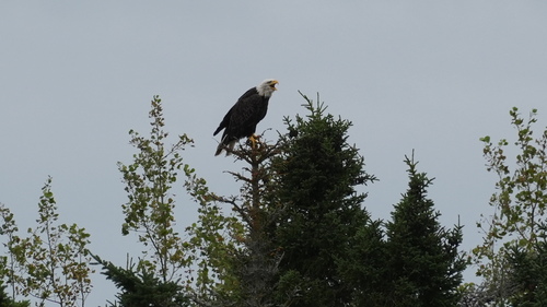
Research-grade observations from iNaturalist (within ~15 mi).
Events
Gallery
Official Identifiers
StatCan — Statistics Canada
- SGC code
- 1006022
- Wikidata
- Q2911880
Standard Geographical Classification (SGC) via Wikidata P3012
Sources
- • Wikipedia
- • Wikidata
- • iNaturalist
- • Open-Meteo / sunrise-sunset.org
- • Wikipedia Pageviews API
- • Open Library
- • StatCan — Statistics Canada — Standard Geographical Classification (SGC) via Wikidata P3012