Browse / Canada / Ontario / Brampton
Brampton
Ontariocity

Brampton
Total population
656,480
Founded
1853
Air quality index
Demographic figures from Statistics Canada. Overview below cites Wikipedia and may reference a different year.
City facts
Sister cities
Facts from Wikidata (CC0).
Overview
Brampton is the ninth most populous municipality in Canada and the regional seat of the Regional Municipality of Peel. It is also the third most populous city in the Greater Golden Horseshoe urban area, behind Toronto and Mississauga. Brampton is part of the Greater Toronto Area (GTA), located in the Canadian province of Ontario, and is a lower-tier municipality within the Peel Region. The City of Brampton is bordered by Vaughan to the east, Halton Hills to the west, Caledon to the north, Mississauga to the south, and Etobicoke (Toronto) to the southeast.
Read more on WikipediaHistory & geography
History
Before the arrival of British settlers, the Mississaugas of the Credit First Nation held of the land north to the head of the Lake Purchase lands and extending to the unceded territory of the Chippewa of Lakes Huron and Simcoe. surrendering the area to the British Crown. Prior to the 1830s, most business in Chinguacousy Township took place at Martin Salisbury's tavern. One mile from the corner of Hurontario Street and the 5th Sideroad (now Main and Queen Streets in the centre of Brampton), William Buffy's tavern was the only significant building. At the time, the intersection was referred to as "Buffy's Corners". By 1834, John Elliott laid out the area in lots for sale, calling it "Brampton", which was soon adopted by others. In 1853, a small agricultural fair was set up by the newly initiated County Agricultural Society of the County of Peel and was held at the corner of Main and Queen streets. Grains, produce, roots, and dairy products were up for sale. Horses and cattle, along with other lesser livestock, were also sold at the market. This agricultural fair eventually became the modern Brampton Fall Fair. In that same year, Brampton was incorporated as a village. Dale's Nursery had become the town's largest and most prominent employer, and was the largest cut flower business in North America, producing 20 million blooms and introducing numerous rose and orchid cultivar to the market. By 1869, Brampton had a population of 1,800. It was incorporated as a town in 1873. A Brampton Water Works filtration plant was built south of the lake, located where present-day White Spruce Park is. Today the city uses water from other sources, and Heart Lake is now the centerpiece of Heart Lake Conservation Area. A federal grant had enabled the village to found its first public…
Excerpted from the corresponding Wikipedia article (CC BY-SA).
Geography
Coordinates & boundaries from the US Census TIGER/Line shapefiles.
Climate
Air quality
Current readings from Open-Meteo Air Quality API (Copernicus CAMS European reanalysis).
Walkability
Amenities nearby
Wildlife & biodiversity
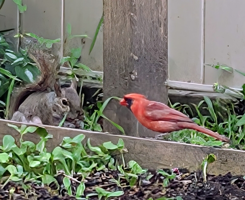
Most-observed species
- Northern CardinalCardinalis cardinalis (Linnaeus, 1758) · Aves50,492
- American RobinTurdus migratorius Linnaeus, 1766 · Aves49,354
- House SparrowPasser domesticus (Linnaeus, 1758) · Aves43,510
- MallardAnas platyrhynchos Linnaeus, 1758 · Aves43,486
- Ring-billed GullLarus delawarensis Ord, 1815 · Aves42,244
- European StarlingSturnus vulgaris Linnaeus, 1758 · Aves39,019
- Canada Goose (canadensis Group)Branta canadensis (Linnaeus, 1758) · Aves37,127
- Black-capped ChickadeePoecile atricapillus (Linnaeus, 1766) · Aves35,955
Citizen-science & research observations from the Global Biodiversity Information Facility (GBIF).
Earthquake history
Most recent
- M 3 — 2018-05-0814 km SSE of Ajax, Canada
- M 2.52 — 2017-07-1111 km NNW of Barker, New York
- M 2.7 — 2009-12-2110 km NNE of Olcott, New York
- M 2.58 — 2009-09-2020 km ESE of Oakville, Canada
- M 2.78 — 2005-03-2816 km NW of Virgil, Canada
Events from the USGS Earthquake Catalog (global) (FDSN Event Web Service).
Photos
Sights & places nearby
Notable people from here


People born within ~10 km, from Wikidata (CC0). Click any name for their Wikipedia article.
Nearby places in Ontario
Geography & sun
Elevation, sunrise/sunset and daylight from Open-Meteo. Solar climatology from NASA POWER.
Nearby airports
Public attention
Pageview totals from the Wikimedia Pageviews API.
Books about Brampton
Search results from Open Library.
Recent natural events nearby
- Wells Rd Unit 1 RX Prescribed Fire, Iosco, MichiganWildfires · 2026-04-22 · 192 mi
- River Road 16 RX Prescribed Fire, Iosco, MichiganWildfires · 2026-04-19 · 197 mi
Wildfires, storms and other events from NASA EONET (last 12 months, within 250 mi).
Ground air-quality sensors
Recently spotted species
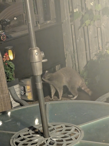
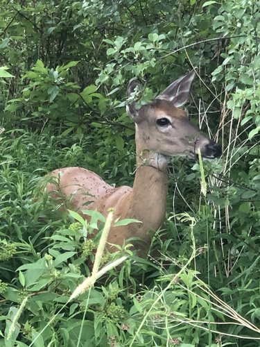
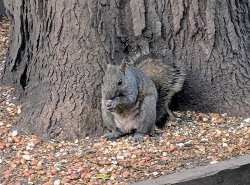
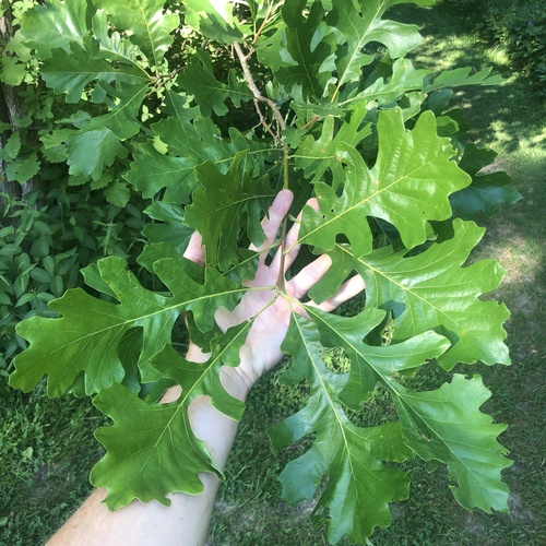
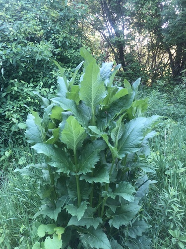
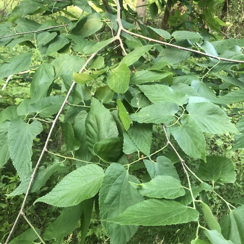
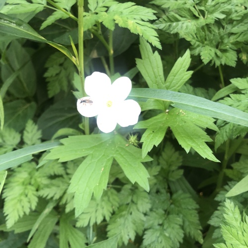
Research-grade observations from iNaturalist (within ~15 mi).
Events
Gallery
Geotagged photos within ~6 miles of Brampton, from Wikimedia Commons contributors.
.jpg) 0 mi
0 mi.jpg) 0 mi
0 mi.jpg) 0 mi
0 mi.jpg) 0 mi
0 mi.jpg) 0 mi
0 mi 0 mi
0 mi 0 mi
0 mi 0 mi
0 mi.jpg) 0.1 mi
0.1 mi.jpg) 0.1 mi
0.1 mi.jpg) 0.1 mi
0.1 mi.jpg) 0.1 mi
0.1 mi.jpg) 0.1 mi
0.1 mi.jpg) 0.1 mi
0.1 mi.jpg) 0.1 mi
0.1 mi.jpg) 0.1 mi
0.1 mi.jpg) 0.1 mi
0.1 mi.jpg) 0.1 mi
0.1 mi.jpg) 0.1 mi
0.1 mi.jpg) 0.1 mi
0.1 mi.jpg) 0.1 mi
0.1 mi.jpg) 0.1 mi
0.1 mi.jpg) 0.1 mi
0.1 mi.jpg) 0.1 mi
0.1 miPhotos via Wikimedia Commons — see each image page for license & attribution.
Official Identifiers
StatCan — Statistics Canada
- SGC code
- 3521010
- Population (Wikidata)
- 656,480
- Wikidata
- Q44198
Standard Geographical Classification (SGC) via Wikidata P3012
Sources
- • Wikipedia
- • Wikimedia Commons
- • Wikidata
- • Open-Meteo Air Quality (CAMS)
- • USGS Earthquake Catalog (global feed)
- • GBIF (Global Biodiversity Information Facility)
- • iNaturalist
- • Open-Meteo / sunrise-sunset.org
- • Wikipedia Pageviews API
- • Open Library
- • NASA EONET
- • StatCan — Statistics Canada — Standard Geographical Classification (SGC) via Wikidata P3012